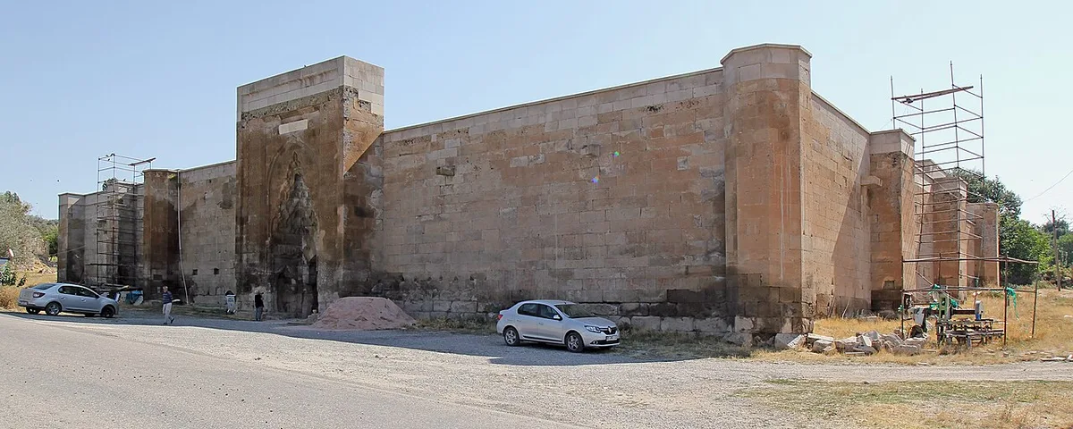

Planning a journey to Sarıyahşi, Aksaray? This comprehensive 2026 Historical Landmarks guide brings together 10 verified landmarks, natural wonders, and cultural heritage sites with official visiting hours, GPS coordinates, public transit connections, and local gastronomy recommendations.
Quick Highlights & Discovery Route in Sarıyahşi, Aksaray
- Sarıyahşi Pond and Recreation Area
- Hirfanlı Dam Lake Sarıyahşi Shore and Recreation Area
- Historical Sarıyahşi Selçuk (Orta) Mosque
- Yaylak Village Steppe Ecosystem and Nature Walking Trail
- Sarıyahşi Suspension Bridge and Observation Area
- Demirciobası Archaeological Site and Rock Caves
- Taşpınar Handmade Carpet
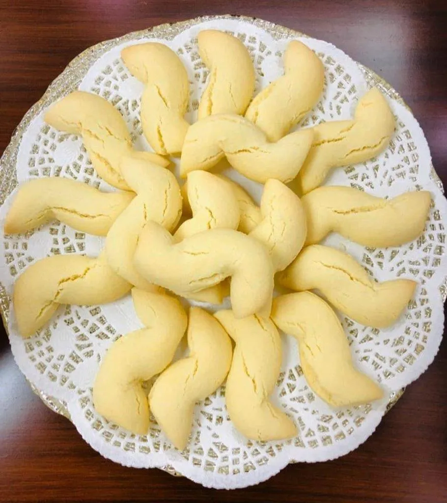
- Aksaray İnceelek Dessert
Historical Landmarks, Architecture & Cultural Heritage in Sarıyahşi, Aksaray
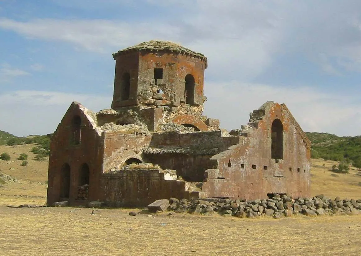
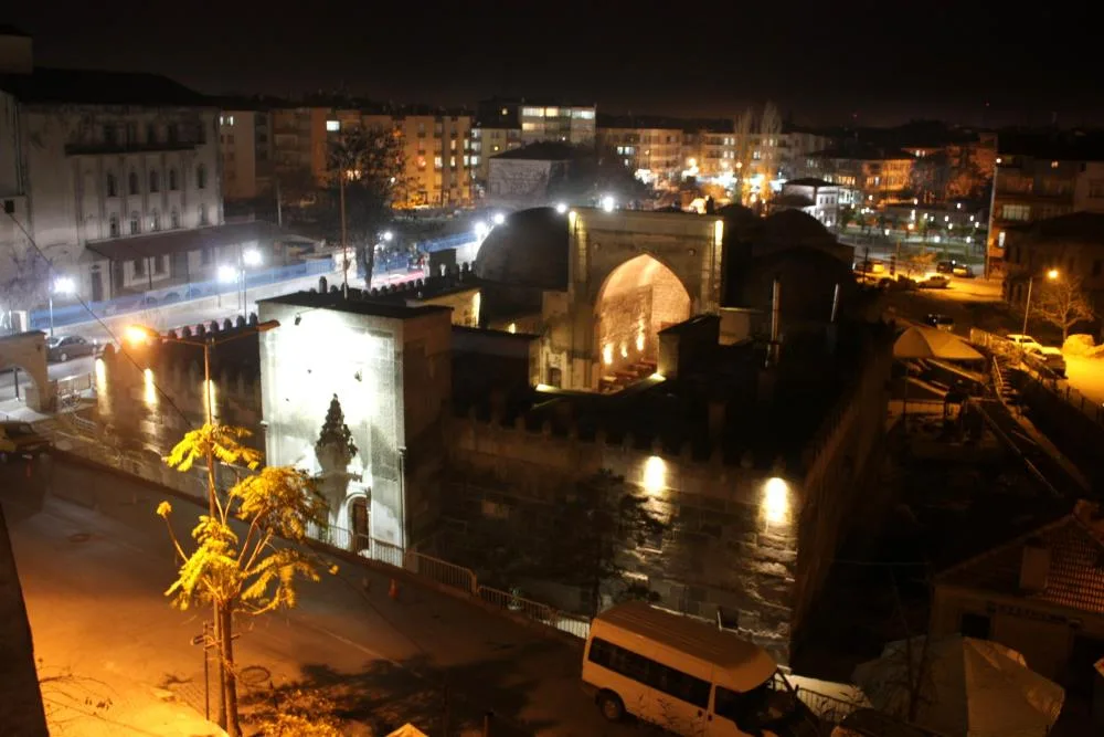
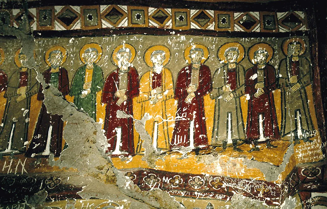
Sarıyahşi, Aksaray (Aksaray) preserves a multi-layered historical fabric shaped by centuries of Anatolian civilizations, including Roman, Byzantine, Seljuk, and Ottoman eras. Historic castles, stone bridges, caravanserais, civil mansions, and monumental structures reflect the strategic and cultural importance of Sarıyahşi, Aksaray.
Walking through the historic quarters of Sarıyahşi, Aksaray allows visitors to observe traditional masonry, timber-framed architecture, and restored heritage buildings up close.
- Architectural Details: Pay attention to carved stone portals, historic fountains, courtyard mansions, and defensive bastions across Sarıyahşi, Aksaray.
- Best Visiting Hours: Early morning and late afternoon golden light offer the best conditions for architectural photography and crowd-free exploration.
- Cultural Etiquette & Preservation: Respect restoration zones and signage at registered historical monuments in Sarıyahşi, Aksaray.
Top Verified Historical Landmarks & Must-See Landmarks in Sarıyahşi, Aksaray
1. Sarıyahşi Pond and Recreation Area
Free Public Access • GPS: 38.9748, 33.8306
History and General Information / Local Legends and Folklore
Sarıyahşi Pond is a quiet and peaceful recreation area created by collecting spring waters from the valley, just behind the district center. It is said among the local people that the hills around this pond used to be vineyard gardens and the name of the district was called "Sarıyahşi" (yellow and beautiful) because of the beauty of these places. It is the most preferred place for weekend picnics by the people of the district, with its greened surroundings, clean air and camellias set up on the shore of the pond.
Geographical Structure, Altitude and Natural Features
It is located at an altitude of approximately 920 meters. The pond surroundings are covered with willow, poplar and pine trees. It hosts waterfowl and is suitable for angling.
Visiting Hours, Days and Entrance Fees
- Entrance Fee: Entrance to the pond recreation area is completely free.
- Visiting Hours and Days: Open 7 days a week from sunrise to sunset.
- Rules, Safety and Stroller/Disabled Access: Entering and swimming in the pond is strictly prohibited; Fire should only be lit in barbecue areas. Coastal roads have been improved and are suitable for stroller use.
- Facilities and Facilities: Wooden picnic tables, camellias, fountains, children's playground and walking path are available.
Transportation, Public Transit Routes and Exact Location
- Address / Open Location: Merkez Mahallesi Gölet Yolu, Sarıyahşi / Aksaray.
- Road Condition and Vehicle Availability: It is only 1.5 km away from Sarıyahşi town centre; The road is asphalt and can be easily navigated by any passenger vehicle.
- Real Public Transportation Information: You can reach the town center in 15 minutes on foot or in 3 minutes by taxi.
- Parking Availability: There is a free municipal parking area at the entrance.
Contextual Experience Tips, Photography and Local Gastronomy
- Best Photo Spots and Frames: Willow trees and surrounding vineyard hills reflected in the still water of the pond.
- Light and Shooting Times: Morning hours and afternoon hours.
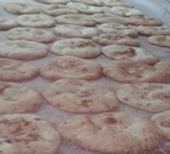
- Local Gastronomy Recommendations: Sarıyahşi's famous bakery bun, tandoori baked beans and homemade molasses.
Explore Full 5-Section Guide & Map for Sarıyahşi Pond and Recreation Area →
2. Hirfanlı Dam Lake Sarıyahşi Shore and Recreation Area
Free Public Access • GPS: 38.9750, 33.8517
History and General Information / Local Legends and Folklore
The Sarıyahşi Coast of Hirfanlı Dam Lake is an important recreation center that lies on the southern shore of the huge water basin known as the "Sea of Central Anatolia" and offers a real coastal atmosphere in the middle of the steppe. The dam lake, built on the Kızılırmak in the 1950s, has enabled the historical settlements located in the Kızılırmak curve since ancient times to transform into a modern lake ecosystem. It is said among the local people that the cool breeze blowing on the shores of the dam lake disperses the dry heat of the steppe and that the lake's rich carp and catfish bring abundance. It is the region's most popular escape route for swimming, angling, canoeing and tent camping during the summer months.
Geographical Structure, Altitude and Natural Features
It is located at an altitude of approximately 850 meters above sea level. Natural beaches, limestone headlands and afforested coastline lie on the shores of the lake, which has a huge water mirror of 263 square kilometers.
Visiting Hours, Days and Entrance Fees
- Entrance Fee: Entrance to the beach and recreation area is completely free.
- Visiting Hours and Days: It is open to visitors 24 hours a day, 7 days a week.
- Rules, Safety and Stroller/Disabled Access: It is dangerous to enter the reservoir uncontrolled, except in designated lifeguarded areas; Attention should be paid to bottom slime. The coastal walking path is flat and suitable for stroller use.
- Facilities and Facilities: Beach picnic pergolas, rest benches, fishing piers, tent/caravan camping areas and fountains are available.
Transportation, Public Transit Routes and Exact Location
- Address / Open Location: Baraj Sahil Mevkii, Sarıyahşi / Aksaray.
- Road Condition and Vehicle Availability: It is 5 km away from Sarıyahşi district center; The road is completely asphalt and can be easily reached by all kinds of passenger vehicles.
- Real Public Transportation Information: Local shuttles and taxis operate from Sarıyahşi center to the dam shore.
- Parking Availability: There are large and free open car parks by the beach.
Contextual Experience Tips, Photography and Local Gastronomy
- Best Photography Spots and Frames: Beach sunset frames, where the sun sets in the vast blue waters of Hirfanlı Dam Lake and paints the sky red and purple.
- Light and Shooting Hours: Golden hours between 18:30 - 20:00 in the evening.
- Local Gastronomy Recommendations: Grilled Hirfanlı carp or catfish, fresh village salad and baked buns at the lakeside facilities.
Explore Full 5-Section Guide & Map for Hirfanlı Dam Lake Sarıyahşi Shore and Recreation Area →
3. Historical Sarıyahşi Selçuk (Orta) Mosque
Free Public Access • GPS: 38.9833, 33.8437
History and General Information / Local Legends and Folklore
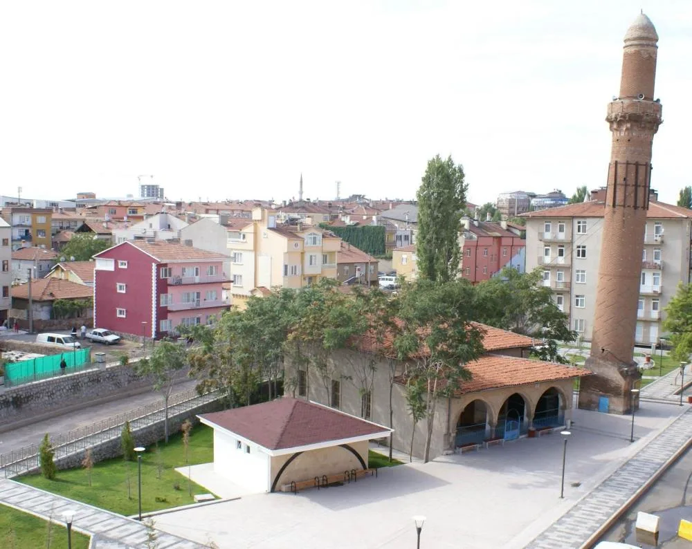
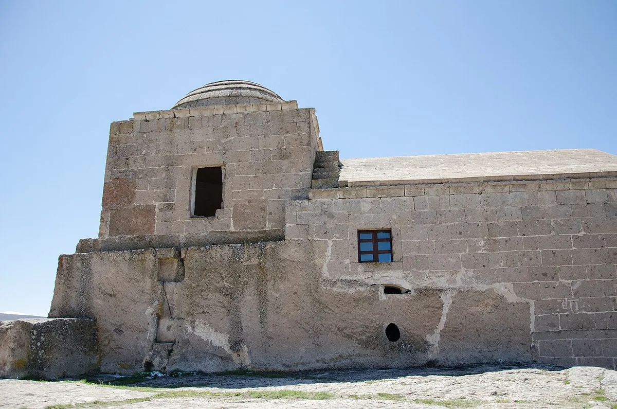
Sarıyahşi Selçuk (Orta) Mosque is the oldest and most established place of worship in the district. The mosque, whose foundations were laid during the Anatolian Seljuk period and underwent extensive repairs during the Ottoman period, has been the great temple where the Sarıyahşi community came together for Friday and Eid prayers for centuries. Local legends say that the cut stones used in the construction of this mosque were brought from the surrounding mounds, the prayers made in front of its altar were accepted, and the district councils gathered under the shadow of the century-old tree in the mosque's courtyard. It reflects the simple and dignified Anatolian stone architecture.
Geographical Structure, Altitude and Natural Features
It is located in the town center, in the market square, at an altitude of approximately 910 meters. There are traditional residential streets and shops around.
Visiting Hours, Days and Entrance Fees
- Entrance Fee: Entrance to the historical mosque is completely free.
- Visiting Hours and Days: It is open for worship and visits 7 days a week, from morning adhan to night prayer.
- Rules, Safety and Stroller/Disabled Access: Must be visited with respect in line with the spiritual spirit of the mosque; The congregation should be respected during prayer times. The entrance is level and suitable for disabled and stroller access.
- Facilities and Facilities: There is an ablution room, a fountain, a women's lounge and a recreation courtyard.
Transportation, Public Transit Routes and Exact Location
- Address / Open Location: Çarşı Mahallesi, Cami Caddesi, Sarıyahşi / Aksaray.
- Road Condition and Vehicle Availability: Located in the town centre; It can be reached directly by all kinds of vehicles.
- Real Public Transportation Information: It is 100 meters away from the last stop of Sarıyahşi district minibuses departing from Aksaray and Kırşehir.
- Parking Availability: There are free car parks in the market square.
Spiritual Visiting Etiquette and Commemoration Guidelines
- Spiritual Visit and Prayer Etiquette: It is recommended to perform the two-rakat tahiyyatu'l-masjid prayer in the historical temple and recite the Fatiha for the souls of the past.
- Documentary & Respectful Shooting: Stone wall texture and historical wooden ceiling workmanship should be photographed without disturbing the congregation.
- Important Commemoration Days: Fridays, Kandil nights and religious holidays.
- Local Spiritual Tradition: Offering Turkish delight, biscuits and tea to the congregation after the prayer.
Explore Full 5-Section Guide & Map for Historical Sarıyahşi Selçuk (Orta) Mosque →
4. Yaylak Village Steppe Ecosystem and Nature Walking Trail
Free Public Access • GPS: 38.9339, 33.8086
History and General Information / Local Legends and Folklore
Yaylak Bozkır Walking Path is a natural trekking route that extends on the wide steppe plateau overlooking the Hirfanlı Dam basin in the northeast of Sarıyahşi. Yaylak village, as its name suggests, is a cool plateau settlement where the surrounding tribes have grazed their flocks during the summer months throughout history. While walking along the route accompanied by the scents of thyme, astragalus, wild lavender and sage, the untouched natural flora of the region is discovered.
Geographical Structure, Altitude and Natural Features
It is at an altitude of 980 meters above sea level. It attracts attention with its wide open plateau structure, windy clean air and rich endemic herbaceous vegetation.
Visiting Hours, Days and Entrance Fees
- Entrance Fee: Free.
- Visiting Hours and Days: Open 24 hours.
- Rules, Safety and Stroller/Disabled Access: It is a natural trail route; A sun hat and walking shoes are recommended.
- Facilities and Facilities: There is a grocery store, a mosque and a village fountain in Yaylak village.
Transportation, Public Transit Routes and Exact Location
- Address / Open Location: Yaylak Village Plateau, Sarıyahşi / Aksaray.
- Road Condition and Vehicle Availability: It is 9 km away from Sarıyahşi district center; It is easily reached via asphalt road.
- Real Public Transportation Information: There are shuttles from Sarıyahşi center to the village.
- Parking Availability: There is a car park at the village entrance.
Contextual Experience Tips, Photography and Local Gastronomy
- Route: A 5-kilometer nature walk of mild difficulty, starting from the village and extending to the Hirfanlı coastal ridges.
- Botanical Tip: Experience collecting wild prairie flowers and thyme in spring.
- Local Taste: Yaylak village tulum cheese and plateau butter.
Explore Full 5-Section Guide & Map for Yaylak Village Steppe Ecosystem and Nature Walking Trail →
5. Sarıyahşi Suspension Bridge and Observation Area
Free Public Access • GPS: 39.0121, 33.8752
History and General Information / Local Legends and Folklore
Sarıyahşi Bridge is a magnificent engineering structure, approximately 415 meters long, built on the Hirfanlı Dam Lake and connecting the provinces of Aksaray and Kırşehir over the water. The tradition of crossing the Kızılırmak with rafts and historical stone arch bridges for centuries has turned into a modern viaduct bridge with the rise of the dam waters. It is said among the local people that this bridge is a "bridge of hearts" connecting two ancient neighboring cities and related villages. The observation decks on both sides of the bridge are the most popular photography stops in the region to watch the panoramic waters of Hirfanlı Lake and the aesthetic curve of the bridge.
Geographical Structure, Altitude and Natural Features
The dam lake is located at the canyon pass, approximately 25 meters above the water level. It is surrounded by steep limestone hills and lake waters.
Visiting Hours, Days and Entrance Fees
- Entrance Fee: Passing over the bridge and visiting the observation decks are completely free.
- Visiting Hours and Days: Open 24 hours a day, 7 days a week.
- Rules, Security and Baby Stroller/Disabled Access: Attention should be paid to the safety railings on the pedestrian path on the bridge, and caution should be exercised against vehicle traffic. The pedestrian sidewalk is flat and suitable for baby strollers and wheelchairs.
- Facilities and Facilities: Pedestrian walkways, bridgehead viewing points and rest benches are available.
Transportation, Public Transit Routes and Exact Location
- Address / Open Location: Above Hirfanlı Dam, Sarıyahşi-Kırşehir Road, Sarıyahşi / Aksaray.
- Road Condition and Vehicle Availability: It is 6 km away from Sarıyahşi center; is on a divided asphalt highway; It can be passed comfortably by any vehicle.
- Real Public Transportation Information: Intercity buses and minibuses operating between Aksaray-Sarıyahşi-Kırşehir pass through this bridge.
- Parking Availability: There are free car parking pockets next to the observation deck at the bridge entrance.
Contextual Experience Tips, Photography and Local Gastronomy
- Best Photography Points and Frames: Symmetrical frames created by the feet of the bridge extending over the lake waters from the bridgehead viewing point and the setting sun behind it.
- Light and Shooting Times: Lake fog in the early morning and sunset in the evening.
- Local Gastronomy Recommendations: Freshly brewed tea and famous Sarıyahşi pancake at the rest facility at the exit of the bridge.
Explore Full 5-Section Guide & Map for Sarıyahşi Suspension Bridge and Observation Area →
6. Demirciobası Archaeological Site and Rock Caves
Free Public Access • GPS: 38.9570, 33.7508
History and General Information / Local Legends and Folklore
Demirciobası Archaeological Site is a registered historical site containing the remains of Roman and Byzantine rock settlements, burial chambers and watchtowers carved into the volcanic rock slopes overlooking the Kızılırmak valley, west of Sarıyahşi. Local legends say that in ancient times, the guards who inspected the river transport over the Kızılırmak stayed in these rock rooms and the place was called Demirciobası because the blacksmith furnaces were smoked here.
Geographical Structure, Altitude and Natural Features
It is located at an altitude of 890 meters above sea level, on steep rock terraces overlooking the Kızılırmak Strait.
Visiting Hours, Days and Entrance Fees
- Entrance Fee: Free.
- Visiting Hours and Days: It can be visited in daylight.
- Rules, Safety and Stroller/Disabled Access: It is a steep rocky area; You should walk carefully and be safe when climbing into rock holes.
- Facilities and Facilities: It is an open-air protected area; The nearest village is Demirciobası.
Transportation, Public Transit Routes and Exact Location
- Address / Open Location: Demirciobası Village Rocks, Sarıyahşi / Aksaray.
- Road Condition and Vehicle Availability: It is 8 km away from Sarıyahşi center; It can be reached by asphalt and stabilized road.
- Real Public Transportation Information: It can be reached from Sarıyahşi district center by local minibus or taxi.
- Parking Availability: Vehicles can be parked on the roadside.
Contextual Experience Tips, Photography and Local Gastronomy
- Photography: Compositions capturing the deep blue waters of the Kızılırmak River winding through rock windows.
- Archaeological Survey: Shelter niches and ancient water collection cisterns carved into the rocks.
- Recommendation: A full-day canyon archeology route can be created with Boğazköy Rock Tombs.
Explore Full 5-Section Guide & Map for Demirciobası Archaeological Site and Rock Caves →
7. Sarıyahşi Seyir Hill and Panoramic Hirfanlı Terrace
Free Public Access • GPS: 38.9861, 33.8443
History and General Information / Local Legends and Folklore
Sarıyahşi Seyir Hill is the most dominant peak of the district, rising right on the back of the district center and offering a bird's eye view of the entire Hirfanlı Dam Lake basin, Kızılırmak valley and Sarıyahşi plain. The hill, where guards have been stationed to watch the caravans crossing the Kızılırmak River for centuries, is now the meeting point of nature lovers who want to watch the view of the giant lake on the border of Aksaray and Kırşehir.
Geographical Structure, Altitude and Natural Features
It is at an altitude of 1,020 meters above sea level. It offers a panoramic visual contrast where the blue waters of Hirfanlı Dam Lake meet the yellow slopes of the steppe.
Visiting Hours, Days and Entrance Fees
- Entrance Fee: Free.
- Visiting Hours and Days: Open 24 hours (sunset hours are magical).
- Rules, Safety and Stroller/Disabled Access: The road up the hill is stabilized and requires careful driving; The viewing area is windy, you should dress appropriately for the season.
- Facilities and Facilities: There are resting benches and observation area; It is 2 km away from the town centre.
Transportation, Public Transit Routes and Exact Location
- Address / Open Location: Tepe Mahallesi Seyir Mevkii, Sarıyahşi / Aksaray.
- Road Condition and Vehicle Availability: You can go up to the hill by car in 5 minutes from the town center.
- Real Public Transportation Information: It is a 20-minute climb on foot from Sarıyahşi bazaar center.
- Parking Availability: Free car parking is available at the summit.
Contextual Experience Tips, Photography and Local Gastronomy
- Photography Angle: The golden and red sky created by the setting sun over the endless blue of Hirfanlı Dam Lake.
- Visiting Time: Afternoon and evening hours are ideal for taking photos and cooling off.
- Recommendation: Grab your thermos with tea and watch the sunset overlooking the lake.
Explore Full 5-Section Guide & Map for Sarıyahşi Seyir Hill and Panoramic Hirfanlı Terrace →
8. Sipahiler Village Historical Mound and Settlement
Free Public Access • GPS: 38.9008, 33.8358
History and General Information / Local Legends and Folklore
Sipahiler Mound is an archaeological hill located within the borders of Sipahiler, one of the well-established villages of Sarıyahşi, and has been inhabited continuously from the Bronze Age to the Roman period. The village took its name from the fact that the 'Sipahis', cavalry soldiers who owned fiefs during the Ottoman period, were settled here. Ancient pottery shards and stone foundation ruins found on the surface of the mound indicate that the region was a castle settlement that ensured the security of the ancient trade routes in the Kızılırmak basin.
Geographical Structure, Altitude and Natural Features
It is at an altitude of 920 meters above sea level. It is a dominant elevation in the steppe plain and is surrounded by barley and wheat fields.
Visiting Hours, Days and Entrance Fees
- Entrance Fee: Free.
- Visiting Hours and Days: It can be visited in daylight.
- Rules, Safety and Stroller/Disabled Access: It is an archaeological site; Historical ruins on the surface should not be touched.
- Facilities and Facilities: There is a mosque and village fountain in Sipahiler village.
Transportation, Public Transit Routes and Exact Location
- Address / Open Location: Sipahiler Village, Sarıyahşi / Aksaray.
- Road Condition and Vehicle Availability: It is 8 km away from Sarıyahşi district center; It can be reached by passenger vehicle via the asphalt village road.
- Real Public Transportation Information: Minibuses can be used from Sarıyahşi center to the village.
- Parking Availability: Vehicles can be parked at the village entrance.
Contextual Experience Tips, Photography and Local Gastronomy
- Archaeological Clues: Ancient ash and adobe layers visible in the mound section.
- View: Hirfanlı Dam Lake basin and Sarıyahşi plains can be viewed from the summit.
- Local Product: Natural honey and village molasses produced in Sipahiler village.
Explore Full 5-Section Guide & Map for Sipahiler Village Historical Mound and Settlement →
9. Bekdik Village Historical Mosque and Village Square
Free Public Access • GPS: 39.0152, 33.9482
History and General Information / Local Legends and Folklore
Bekdik Village Mosque and Square is an authentic rural cultural stop, taking its name from the long-established Bekdik Turkmen tribe that migrated from Central Asia to Anatolia. The historical stone mosque in the village square was built with Ottoman stone masonry at the end of the 19th century and attracts attention with its wooden columned mahfil and stone minaret. With its village square, traditional stone fountain, centuries-old mulberry trees and friendly village coffee house, Central Anatolia is one of the places where Turkmen hospitality is felt the warmest.
Geographical Structure, Altitude and Natural Features
It is located on the plateau slope, at an altitude of 950 meters above sea level. There are almond and walnut trees around the village, which is cooled by the steppe winds.
Visiting Hours, Days and Entrance Fees
- Entrance Fee: Free.
- Visiting Hours and Days: Open to visitors 24 hours a day.
- Rules, Safety and Stroller/Disabled Access: The village square has flat ground and is disabled accessible. Mosque etiquette must be followed during prayer times.
- Facilities and Amenities: Village coffee house, grocery store, mosque and historical fountain are available.
Transportation, Public Transit Routes and Exact Location
- Address / Open Location: Bekdik Village Central Square, Sarıyahşi / Aksaray.
- Road Condition and Vehicle Availability: 10 km away from Sarıyahşi center; It can be reached by passenger vehicle on a completely asphalt road.
- Real Public Transportation Information: Shuttles depart from Sarıyahşi center to Bekdik village.
- Parking Availability: There is a free parking area in the village square.
Contextual Experience Tips, Photography and Local Gastronomy
- Experience: Chatting with the villagers in the village coffee house and listening to the historical migration stories of the Bekdik Turkmens.
- Photo: Cut stone arches of the historical mosque and the stone trough fountain in the square.
- Local Gastronomy: Hot flatbread, churned butter and dried cottage cheese from the village oven.
Explore Full 5-Section Guide & Map for Bekdik Village Historical Mosque and Village Square →
10. Sarıyahşi Kızılırmak Canyon Valley and River Track
Free Public Access • GPS: 38.9705, 33.8692
History and General Information / Local Legends and Folklore
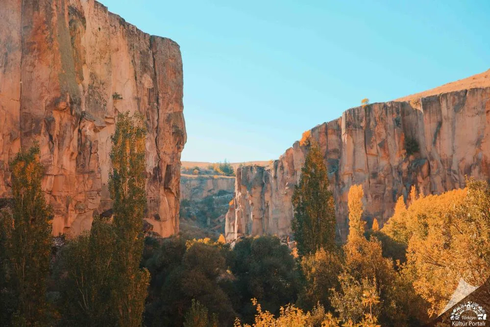
Sarıyahşi Kızılırmak Canyon Valley is an enormous canyon valley formed at the Bosphorus location where Kızılırmak, the longest river in Türkiye, meets Hirfanlı Dam Lake. Kızılırmak, known as 'Halys' in ancient times and considered the historical border between the Lydian and Persian kingdoms, flows through steep rocky canyons in the Sarıyahşi gorge. Local legends say that ancient sailors and caravans stayed at the water springs on the steep cliffs along the Kızılırmak.
Geographical Structure, Altitude and Natural Features
It is located at an altitude of 860 meters above sea level. It is a unique ecological corridor with the steep slopes of the canyon, reddish limestone and tuff rocks, willow groves along the river and rich water bird fauna.
Visiting Hours, Days and Entrance Fees
- Entrance Fee: Free.
- Visiting Hours and Days: Open 24 hours.
- Rules, Safety and Stroller/Disabled Access: Entering flowing river waters is strictly dangerous and prohibited. During canyon walks, attention should be paid to slippery surfaces.
- Facilities and Facilities: It is a natural protected area; The nearest facility is in Sarıyahşi district center.
Transportation, Public Transit Routes and Exact Location
- Address / Open Location: Kızılırmak Boğazı Mevkii, Sarıyahşi / Aksaray.
- Road Condition and Vehicle Availability: It is 6 km away from Sarıyahşi center; It can be reached by passenger vehicle via an asphalt and stabilized river road.
- Real Public Transportation Information: It can be reached from Sarıyahşi district center by taxi or village vehicles.
- Parking Availability: Free car parking is available on the plains along the river.
Contextual Experience Tips, Photography and Local Gastronomy
- Walking Track: 4-kilometer trekking track along the canyon edge with breathtaking river views.
- Photo Points: The viewing point where the river meanders and flows between the canyon rocks.
- Best Time: Photographing the steam layer on the river during the early morning fog is a unique experience.
Explore Full 5-Section Guide & Map for Sarıyahşi Kızılırmak Canyon Valley and River Track →
What to Eat in Sarıyahşi, Aksaray? Registered Local Delicacies & Gastronomy
A trip to Sarıyahşi, Aksaray is incomplete without tasting its officially registered geographical indication products and centuries-old Anatolian recipes:
1. Taşpınar Handmade Carpet (Halılar ve kilimler)
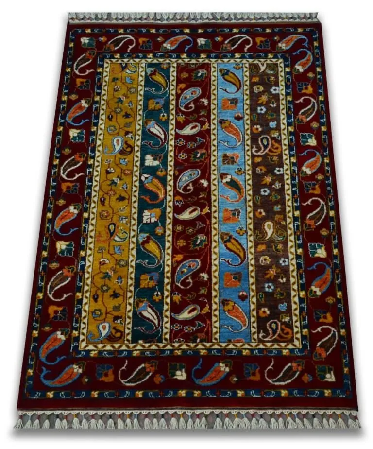
Taşpınar Handmade Carpet is an official Geographically Indicated value of ours, unique to the Aksaray region and registered by the Turkish Patent and Trademark Office on 14.11.1997 (with registration number 7).
View Official Geographical Indication Dossier for Taşpınar Handmade Carpet →
2. Aksaray İnceelek Dessert (Fırıncılık ve pastacılık mamulleri, hamur işleri, tatlılar)
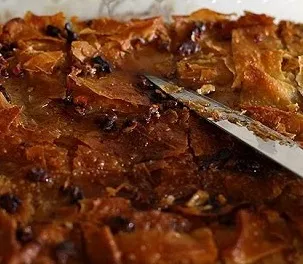
Aksaray İnceelek Dessert is a geographically indicated value of ours, unique to the Aksaray region and registered by the Turkish Patent and Trademark Office on 17.10.2019 (with registration number 464).
View Official Geographical Indication Dossier for Aksaray İnceelek Dessert →
3. Aksaray Tulum Kebab (Yemekler ve çorbalar)
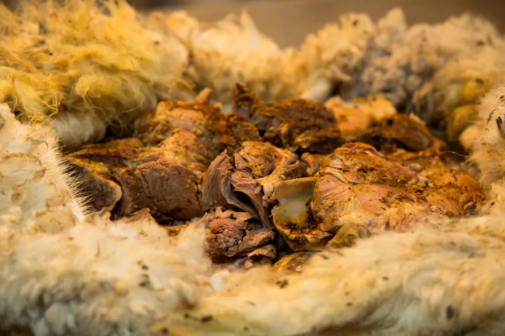
Aksaray Tulum Kebab is a geographically indicated value specific to the Aksaray region, registered by the Turkish Patent and Trademark Office on 15.02.2019 (with registration number 417).
View Official Geographical Indication Dossier for Aksaray Tulum Kebab →
4. Aksaray Sherbet Pita (Fırıncılık ve pastacılık mamulleri, hamur işleri, tatlılar)
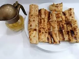
Hot pita with fresh cheese baked in a stone oven is served with sugar sherbet poured over it.
History: Centuries-old bakery dessert of Aksaray mansions.
View Official Geographical Indication Dossier for Aksaray Sherbet Pita →
5. Eşmekaya Yogurt (Peynirler ve tereyağı dışında kalan süt ürünleri)
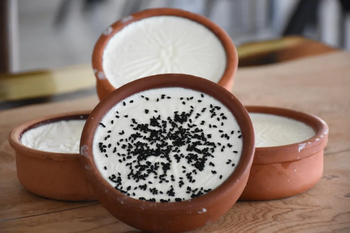
Eşmekaya Yoğurdu is a geographically indicated value of ours with an official Name of Origin, unique to the Aksaray region and registered by the Turkish Patent and Trademark Office on 25.05.2021 (with registration number 768).
View Official Geographical Indication Dossier for Eşmekaya Yogurt →
6. Aksaray Tahini (Fırıncılık ve pastacılık mamulleri, hamur işleri, tatlılar)

Aksaray Tahinlisi is a geographically indicated value specific to the Aksaray region, registered by the Turkish Patent and Trademark Office on 25.05.2021 (with registration number 766).
View Official Geographical Indication Dossier for Aksaray Tahini →
Practical Travel & Transit Planning for Sarıyahşi, Aksaray (2026)
| Planning Category | Verified Local Information |
|---|---|
| Region & Administrative Center | Sarıyahşi, Aksaray, Türkiye |
| Best Time to Visit | Spring (April–June) and Autumn (September–November) for ideal sightseeing weather; Summer for highlands and coastal routes. |
| Public Transit & Highway Access | Regular municipal buses and local minibus cooperatives (Dolmuş) depart daily from the Aksaray Intercity Bus Terminal (Otogar) directly to Sarıyahşi. |
| Recommended Stay | 1 to 2 full days to explore the main historical landmarks, nature trails, and local culinary stops. |
Frequently Asked Questions About Visiting Sarıyahşi, Aksaray
What are the must-see places to visit in Sarıyahşi, Aksaray?
The top verified attractions in Sarıyahşi, Aksaray include Sarıyahşi Pond and Recreation Area, Hirfanlı Dam Lake Sarıyahşi Shore and Recreation Area, Historical Sarıyahşi Selçuk (Orta) Mosque, Yaylak Village Steppe Ecosystem and Nature Walking Trail, Sarıyahşi Suspension Bridge and Observation Area. Each location offers documented historical or natural heritage with clear road access.
How can I get to Sarıyahşi, Aksaray by public transport or car?
You can reach Sarıyahşi, Aksaray easily by car via Aksaray's main provincial highways, or take regular municipal buses and district minibuses departing throughout the day from the Aksaray central bus terminal (Otogar).
What are the famous local dishes and traditional foods to try in Sarıyahşi, Aksaray?
When visiting Sarıyahşi, Aksaray and Aksaray, be sure to taste officially registered specialties such as Taşpınar Handmade Carpet, Aksaray İnceelek Dessert, Aksaray Tulum Kebab, Aksaray Sherbet Pita, Eşmekaya Yogurt, prepared by local artisans and traditional restaurants.
Are the attractions in Sarıyahşi, Aksaray suitable for families and day trips?
Yes. Most historic monuments, parks, museums, and promenade areas in Sarıyahşi, Aksaray are family-friendly and well-suited for both weekend getaways and full-day cultural itineraries.
When is the best season to visit Sarıyahşi, Aksaray?
Spring and autumn offer the most comfortable temperatures for walking tours and photography in Sarıyahşi, Aksaray, while summer is popular for nature recreation, plateaus, and festivals.