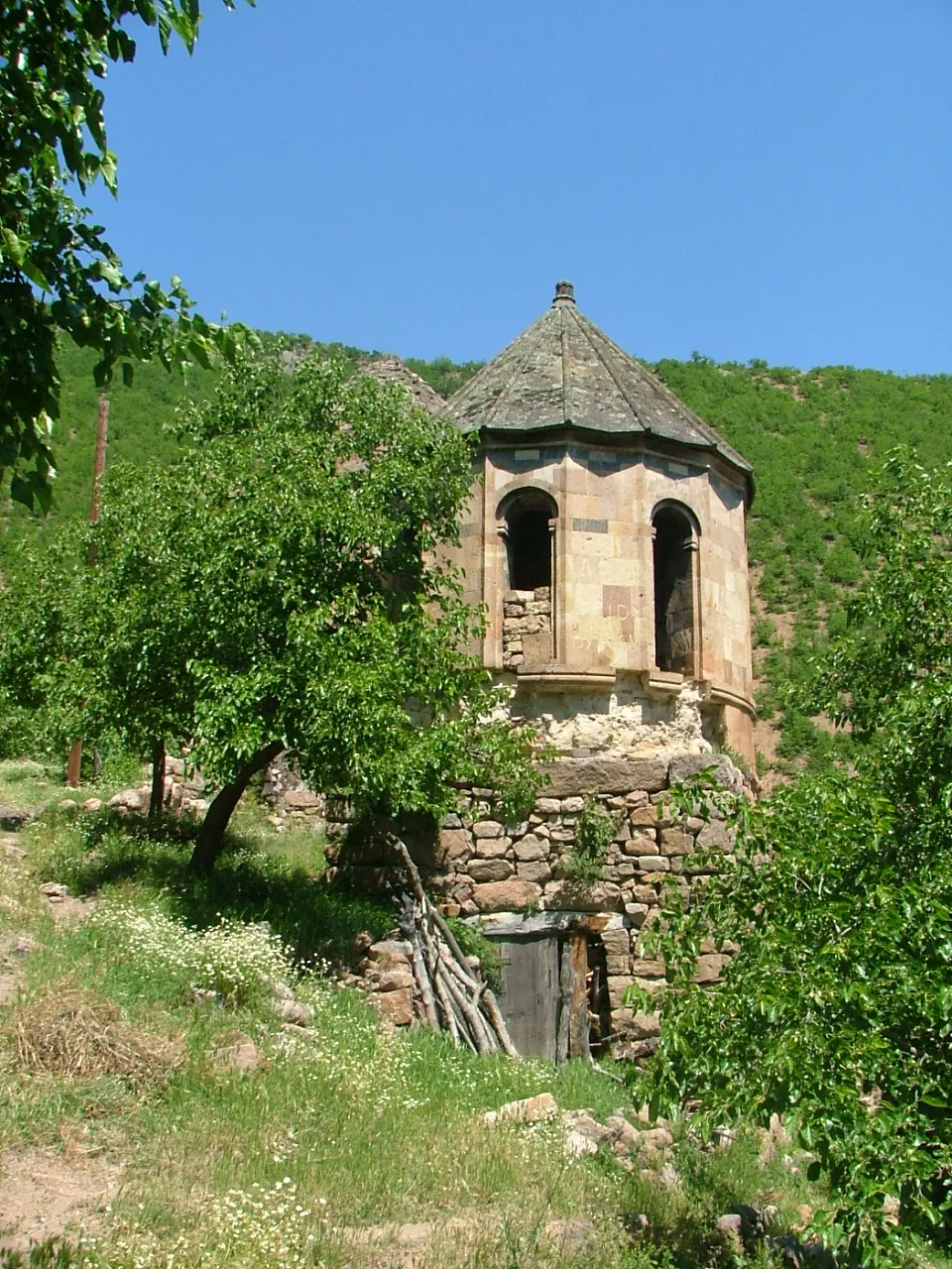

Planning a journey to Artvin? This comprehensive 2026 History & Culture guide brings together 10 verified landmarks, natural wonders, and cultural heritage sites with official visiting hours, GPS coordinates, public transit connections, and local gastronomy recommendations.
Quick Highlights & Discovery Route in Artvin
- Artvin Castle (Historical Livane Castle)
- Berta Historical Stone Arch Bridge (Ortaköy)
- Ortaköy (Berta) Historical Monastery Ruins
- Historical Salih Bey (Iskale) Mosque
- Atabarı Ski Center (Mersivan Mountain)
- Porta Monastery & Historical Church (Pırnallı Village)
- Pucuko
- Borcka Iron Apple
Historical Landmarks, Architecture & Cultural Heritage in Artvin
Artvin (Artvin) preserves a multi-layered historical fabric shaped by centuries of Anatolian civilizations, including Roman, Byzantine, Seljuk, and Ottoman eras. Historic castles, stone bridges, caravanserais, civil mansions, and monumental structures reflect the strategic and cultural importance of Artvin.
Walking through the historic quarters of Artvin allows visitors to observe traditional masonry, timber-framed architecture, and restored heritage buildings up close.
- Architectural Details: Pay attention to carved stone portals, historic fountains, courtyard mansions, and defensive bastions across Artvin.
- Best Visiting Hours: Early morning and late afternoon golden light offer the best conditions for architectural photography and crowd-free exploration.
- Cultural Etiquette & Preservation: Respect restoration zones and signage at registered historical monuments in Artvin.
Top Verified History & Culture & Must-See Landmarks in Artvin
1. Artvin Castle (Historical Livane Castle)
Free Public Access • GPS: 41.1885, 41.8247
History and General Information / Local Legends and Folklore
Artvin Castle (Livane Castle) was built in 937 AD by Ashot the Great, ruler of the Georgian Bagratid Kingdom, and was extensively fortified in the 16th century during the reign of Ottoman Sultan Suleiman the Magnificent. Built on a steep main rock mass on the Çoruh River, the castle is an impenetrable defensive monument that controls the valley and entrances and exits to the city. There are cisterns, chapel ruins and watchtowers inside the castle.
Geographical Structure, Altitude and Natural Features
It is located at an altitude of approximately 280 meters above sea level, on a steep andesite rock rising 70 meters steeply from the bottom of the Çoruh River.
Visiting Hours, Days and Entrance Fees
- Entrance Fee: Free.
- Visiting Hours and Days: The military zone is open to visitors 7 days a week during daylight hours (09:00 - 18:00), under the control of the entrance gate.
- Rules, Safety and Stroller/Disabled Access: Identification may be required at entry; Not suitable for strollers or wheelchairs due to steep rock steps; Walking shoes must be worn.
- Facilities and Facilities: There is an observation terrace, information board and parking area.
Transportation, Public Transit Routes and Exact Location
- Address / Open Location: Çayağzı Mahallesi, Artvin Kalesi Mevkii, Artvin Center.
- Road Condition and Vehicle Availability: It is 2 km away from Artvin city center and can be reached by passenger car from the asphalt road next to the Çoruh Bridge.
- Real Public Transportation Information: Artvin Center - Çayağzı - Köprübaşı city minibuses stop at the foot of the castle.
- Parking Availability: There is a free parking area for 20 vehicles at the entrance of the castle.
Contextual Experience Tips, Photography and Local Gastronomy
- Best Photography Points and Frames: Panoramic frame showing the Çoruh River bridge from the castle bastions, the dam valley and the Artvin city skyline on the opposite steep slope.
- Light and Shooting Times: Early morning and late afternoon sun.
- Local Gastronomy Recommendations: Artvin doner kebab and corn bread in the facilities in the Çayağzı region.
Explore Full 5-Section Guide & Map for Artvin Castle (Historical Livane Castle) →
2. Berta Historical Stone Arch Bridge (Ortaköy)
Free Public Access • GPS: 41.1661, 41.9716
History and General Information / Local Legends and Folklore
Berta Bridge is a monumental bridge built over the Berta Stream in the 18th century with cut stone architecture. It has been one of the main crossing points of historical caravans and Caucasian trade routes. The bridge, which was protected and moved to its new location as the dam waters rose, is a magnificent monument of historical stonemasonry.
Geographical Structure, Altitude and Natural Features
It is located among steep mountains in the Berta Creek valley, at an altitude of 320 meters above sea level.
Visiting Hours, Days and Entrance Fees
- Entrance Fee: Free.
- Visiting Hours and Days: Open 24 hours a day, 7 days a week.
- Rules, Safety and Stroller/Disabled Access: Open to pedestrian use.
- Facilities and Facilities: There is a recreation area and parking area.
Transportation, Public Transit Routes and Exact Location
- Address / Open Location: Artvin - Şavşat Highway 22nd km, Ortaköy (Berta) Location, Artvin Center.
- Road Condition and Vehicle Suitability: Located next to the main highway; It is a hot asphalt road.
- Real Public Transportation Information: Artvin - Şavşat minibuses stop near the bridge.
- Parking Availability: There is a free parking space for 20 vehicles on the roadside.
Contextual Experience Tips, Photography and Local Gastronomy
- Best Photo Spots and Frames: Three-chambered arch structure and mountain canyon perspectives in the background.
- Light and Shooting Hours: Morning and afternoon hours.
- Local Gastronomy Recommendations: Natural mulberry molasses and walnuts produced in the Berta valley.
Explore Full 5-Section Guide & Map for Berta Historical Stone Arch Bridge (Ortaköy) →
3. Ortaköy (Berta) Historical Monastery Ruins
Free Public Access • GPS: 41.2491, 41.9837
History and General Information / Local Legends and Folklore
Berta Monastery and Cathedral, located within the borders of Ortaköy (historically known as Berta) in Artvin Center, was established as one of the most important episcopal and religious centers of the region in the 9th and 10th centuries, during the Bagratli Georgian Kingdom. This monumental monastery complex, where the famous Berta Gospels were written and the art of illumination was practiced in the Middle Ages; It consists of the domed main cathedral, monk rooms, chapels and library ruins. Local legends say that the gold-leafed manuscripts stored in the library of the monastery were protected by the Silk Road merchants and that the stonework in the valley has echoed with the murmur of the Berta stream for centuries.
Geographical Structure, Altitude and Natural Features
It is located on a rocky ridge overlooking the Berta Stream valley, at an altitude of approximately 620 meters above sea level. It is surrounded by wild olive groves, mulberry trees, century-old walnuts and steep valley slopes.
Visiting Hours, Days and Entrance Fees
- Entrance Fee: Visiting the historical monastery ruins is completely free.
- Visiting Hours and Days (Mandatory): It is open to visitors 7 days a week from sunrise to sunset.
- Rules, Safety and Stroller/Disabled Access: It is an archaeological site; Historical stone walls and vault ruins should not be climbed. Comfortable walking shoes should be worn due to the rugged stony path; Not suitable for wheelchairs.
- Facilities and Facilities: It is a natural historical area; Basic needs should be met from the grocery store and coffee house in Ortaköy centre.
Transportation, Public Transit Routes and Exact Location
- Address / Open Location: Ortaköy (Berta) Village Mevkii, 08000 Artvin Center / Artvin.
- Road Condition and Vehicle Suitability: It can be easily reached by all passenger vehicles via the asphalt and concrete road branching from the Berta bridge turnoff of the Artvin - Şavşat highway to Ortaköy.
- Real Public Transportation Information (Mandatory): You can take the Ortaköy (Berta) village minibuses departing from Artvin Central Bus Terminal to the village and reach the ruins with a short walk.
- Parking Availability: Free car parking is available in the village square and at the beginning of the monastery path.
Contextual Experience Tips, Photography and Local Gastronomy
- Best Photography Spots and Frames: In-depth shots of the green slopes of the Berta Valley from the surviving monumental cut stone windows of the monastery.
- Light and Shooting Times: Clear light in the early morning and afternoon sun.
- Visiting Time: Spring and autumn months; The weather conditions in the valley are most suitable for cultural tours.
- Local Gastronomy Recommendations: The famous Berta fig grown in Ortaköy, walnut fruit pulp and village buttermilk.
Explore Full 5-Section Guide & Map for Ortaköy (Berta) Historical Monastery Ruins →
4. Historical Salih Bey (Iskale) Mosque

Free Public Access • GPS: 41.1813, 41.8251
History and General Information / Local Legends and Folklore
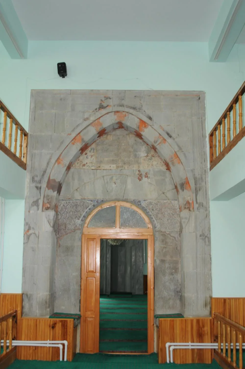
Located in the historical Çarşı District of Artvin city center, Salih Bey Mosque (popularly known as İskale Mosque) was built in 1792 by Salih Bey, one of the Artvin notables of the Ottoman period. The building has a cut stone base, wooden ceiling and a single minaret; It is one of the oldest surviving Ottoman mosques in Artvin. The floral decorations on the wooden ceiling core of the mosque, the elegantly carved pulpit and the wooden columns in the women's gallery display the Black Sea wooden elegance of the late Ottoman period. According to local narratives, it is said that during the construction of the mosque, Çoruh stonemasons carved the stones one by one by hand and the prayers of the benefactors in the mosque graveyard protected Artvin from disasters.
Geographical Structure, Altitude and Natural Features
It is located on the stepped slope texture of Artvin city center, at an altitude of approximately 500 meters above sea level. It is surrounded by historical Artvin wooden mansions, streets with steep stairs and plane trees.
Visiting Hours, Days and Entrance Fees
- Entrance Fee: Visiting and praying in the historical mosque is completely free.
- Visiting Hours and Days (Mandatory): It is open for worship 7 days a week, from morning adhan to night prayer.
- Rules, Safety and Stroller/Disabled Access: You can enter the mosque without shoes; Care should be taken with historical wooden elements. The mosque courtyard is flat and can be accessed by strollers and wheelchairs.
- Facilities and Facilities: There is a fountain, ablution room, WC and historical rest courtyard.
Transportation, Public Transit Routes and Exact Location
- Address / Open Location: Çarşı Mahallesi, İskale Sokak, 08000 Artvin Center / Artvin.
- Road Condition and Vehicle Availability: Located in Artvin city centre; It is easily accessible by all vehicles with asphalt avenues and streets.
- Real Public Transportation Information (Mandatory): City public buses and market minibuses drop off at the stop 50 meters away from the mosque.
- Parking Availability: Bazaar multi-storey car park and street car parks are within walking distance.
Spiritual Visiting Etiquette and Commemoration Guidelines
- Spiritual Visit and Prayer Etiquette: One should worship in silence, perform the two-rakat tahiyyatu'l-masjid prayer and pray in the spiritual tranquility of the 230-year-old historical mosque.
- Documentary & Respectful Shooting: Wooden ceiling decorations, calligraphy signs and stone minaret base can be photographed in silent mode.
- Important Commemoration Days: It is one of the busiest places of worship in Artvin center during Friday prayers, Night of Power and holy nights.
- Local Spiritual Tradition: After the prayer, Turkish delight, hard candy and rose water are offered to the congregation in the mosque courtyard.
Explore Full 5-Section Guide & Map for Historical Salih Bey (Iskale) Mosque →
5. Atabarı Ski Center (Mersivan Mountain)

Free Public Access • GPS: 41.1380, 41.7666
History and General Information / Local Legends and Folklore
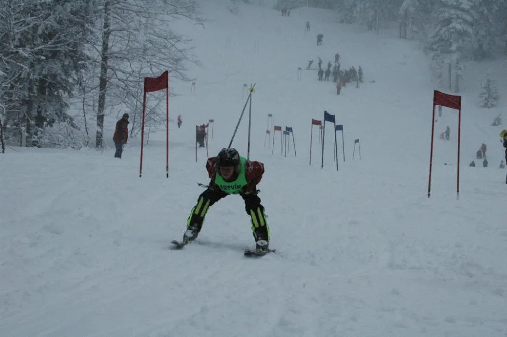
Atabarı Ski Center, established at the foothills of Mersivan Mountain, just above Kafkasör Plateau, 17 kilometers from Artvin city center; Located at an altitude of approximately 1,900 meters above sea level, it is the favorite winter sports center of the Eastern Black Sea Region with its crystal snow quality and tracks surrounded by centuries-old spruce-fir forests. The center takes its name from Artvin's iconic folk dance Atabarı; It serves nature tourism in all seasons with its modern chairlift line, toboggan and ski slopes. Local narratives say that the crystal powder snow of Mersivan Mountain that falls in winter stays on the tracks for months without melting, and that gliding towards the Çoruh valley while sliding through the spruce trees gives people a unique feeling of freedom.
Geographical Structure, Altitude and Natural Features
It extends between 1,750 meters and 2,000 meters above sea level. It is covered with rich Scots pine, spruce and fir forests and has a natural bowl structure sheltered from the wind.
Visiting Hours, Days and Entrance Fees
- Entrance Fee: Entrance to the center and mountain area is free; Chair lift and ski rental services are subject to nominal municipality/facility tariffs.
- Visiting Hours and Days (Mandatory): 7 days a week between 09:00 - 17:00 during the winter season (December - April); It is open 24 hours a day for nature walks in summer.
- Rules, Safety and Stroller/Disabled Access: Snow tires or chains must be carried during winter months. The facility areas are flat and the cafeteria section is suitable for baby strollers; Attention should be paid to safety rules and the use of helmets on the tracks.
- Facilities and Facilities: Chair lift, baby lift, ski rental room, cafeteria, lounge with warm fireplace and parking lot.
Transportation, Public Transit Routes and Exact Location
- Address / Open Location: Mersivan Yaylası Mevkii, Kafkasör Üstü, 08000 Artvin Center / Artvin.
- Road Condition and Vehicle Availability: It can be reached in 25 minutes by passenger and 4x4 vehicles from the center of Artvin via the Kafkasör Plateau road to Mersivan Mountain, via the asphalt road and the mountain road that is constantly sanded in winter.
- Actual Public Transportation Information (Mandatory): Municipality and private shuttles depart from Artvin city center and Kafkasör to the ski resort during the winter season.
- Parking Availability: There is a large capacity asphalt parking area at the entrance of the facility.
Contextual Experience Tips, Photography and Local Gastronomy
- Best Photography Points and Frames: From the summit of the chairlift, the fairy-tale view of the spruce forests under the white cover and the silhouette of the Karçal Mountains in the distance.
- Light and Shooting Times: Bright early morning sunlight and afternoon shadows.
- Visiting Time: January-March for skiing and sledding in winter; In summer and autumn, between July and September for cool plateau walks and forest camping.
- Local Gastronomy Recommendations: Hot sausage bread, kuymak and freshly brewed mountain tea by the fireplace in the facility cafeteria.
Explore Full 5-Section Guide & Map for Atabarı Ski Center (Mersivan Mountain) →
6. Porta Monastery & Historical Church (Pırnallı Village)

Free Public Access • GPS: 41.2378, 42.0744
History and General Information / Local Legends and Folklore
Porta Monastery (Khandzta Monastery) is the most important religious and scientific center of the Klarceti region, founded by the Georgian monk Grigol Khandzteli in the 9th century AD (820s). There are ruins of the main church, bell tower, chapel and monks' rooms within the monastery. It went down in history as the most influential manuscript reproduction and philosophy center of the medieval Caucasus.
Geographical Structure, Altitude and Natural Features
It is located at an altitude of 650 meters above sea level, on a ridge overlooking the valley, among olive groves and oak forests, in the Bağlik area of Pırnallı Village.
Visiting Hours, Days and Entrance Fees
- Entrance Fee: Free.
- Visiting Hours and Days: Open 7 days a week during daylight hours.
- Rules, Safety and Stroller/Disabled Access: Historical ruins should not be climbed; Includes trail walking.
- Facilities and Facilities: It is a natural protected area; Basic needs must be met from the village.
Transportation, Public Transit Routes and Exact Location
- Address / Open Location: Pırnallı Village, Baglik District, Artvin Center.
- Road Condition and Vehicle Availability: It is 24 km away from the center of Artvin; stabilized mountain road; It can be reached by off-road vehicle or careful passenger vehicle.
- Real Public Transportation Information: Pırnallı can be reached by village vehicles or private tours.
- Parking Availability: There is an open car park at the beginning of the trail.
Contextual Experience Tips, Photography and Local Gastronomy
- Prominent Works: The surviving magnificent bell tower, dome drum stonework and monks' cells.
- Light and Shooting Hours: Morning sun and noon hours.
- Local Gastronomy Recommendations: Pırnallı village olives and fresh bakery bread.
Explore Full 5-Section Guide & Map for Porta Monastery & Historical Church (Pırnallı Village) →
7. Artvin Dam and Canyon Observation Deck

Free Public Access • GPS: 40.9992, 41.7125
History and General Information / Local Legends and Folklore
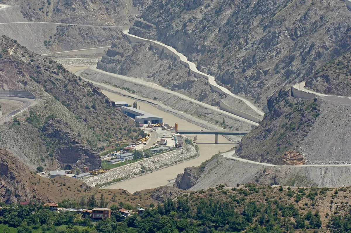
Artvin Dam, built on the Çoruh River and one of the highest concrete arch dams in Türkiye with a body height of 278 meters; It is one of the most impressive modern observation stops in the city with its engineering marvel structure, huge viaducts connecting the canyon and emerald green dam lake. The fjord-like folds formed by the dam lake between the steep canyon slopes give a fascinating feeling of depth when viewed from observation balconies. In local narratives, it is said that the wild flowing Çoruh became tame with this dam and brought energy and light to the region.
Geographical Structure, Altitude and Natural Features
It is located on the deep Çoruh canyon crevices, at an altitude of approximately 450 meters above sea level. It is surrounded by steep limestone cliffs, canyon cliffs and turquoise calm reservoir waters.
Visiting Hours, Days and Entrance Fees
- Entrance Fee: Visiting the observation balcony and watching the view is completely free.
- Visiting Hours and Days (Mandatory): Open 24 hours a day, 7 days a week; The view of the illuminated viaduct is also impressive at night.
- Rules, Safety and Stroller/Disabled Access: Travel railings should not be climbed and safety lines should be followed. The observation balcony is completely flat and can be visited by strollers and wheelchairs.
- Facilities and Facilities: There is an observation terrace, rest benches, photo booths and a parking area.
Transportation, Public Transit Routes and Exact Location
- Address / Open Location: Artvin - Erzurum Highway 18. km, Çoruh Canyon, 08000 Artvin Center / Artvin.
- Road Condition and Vehicle Suitability: It is on the Artvin-Erzurum double asphalt highway; It can be reached in 15 minutes by any vehicle, passing through tunnels and viaducts.
- Actual Public Transportation Information (Mandatory): All intercity and district buses operating between Artvin - Yusufeli or Artvin - Erzurum pass through the dam viewing point.
- Parking Availability: There is a large asphalt parking area at the viewing balcony next to the highway.
Contextual Experience Tips, Photography and Local Gastronomy
- Best Photography Spots and Frames: The majesty of the dam body, the huge viaduct bridges crossing the canyon, and the fjord views created by the emerald green waters in the canyon folds.
- Light and Shooting Hours: Golden hours when the sun rays hit the canyon in the afternoon and viaduct lighting in the evening.
- Visiting Time: It is a synthesis of engineering and nature worth seeing at any time, 365 days a year.
- Local Gastronomy Recommendations: Freshly brewed thermos tea and Artvin muffin during the cruise break.
Explore Full 5-Section Guide & Map for Artvin Dam and Canyon Observation Deck →
8. Kafkasör Plateau & Traditional Bullfighting Arena
Free Public Access • GPS: 41.1652, 41.7942
History and General Information / Local Legends and Folklore
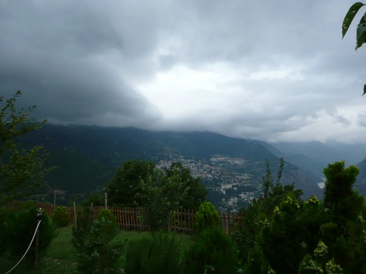
Kafkasör Plateau is world famous for the Traditional Kafkasör Culture, Tourism and Art Festival (Bullfighting), which is held every July and has a long history of more than 200 years. This tradition, in which bulls show their power without harming each other, arose from the ritual of choosing the leader of the bulls migrating to the plateau.
Geographical Structure, Altitude and Natural Features
It is a wide green plateau plain surrounded by Scots pine, spruce and fir forests, just southwest of Artvin, at an altitude of 1250 meters above sea level. There are healing sulfur spring waters (Acısu).
Visiting Hours, Days and Entrance Fees
- Entrance Fee: The plateau area is free; On festival days, arena entrance is subject to municipal tariffs.
- Visiting Hours and Days: Open 24 hours a day, 7 days a week.
- Rules, Safety and Stroller/Disabled Access: The plateau plain is suitable for walking and disabled access; It is suitable for tent and caravan camping.
- Facilities and Facilities: Accommodation facilities, mountain hotels, bungalows, restaurants, bullfighting arena, country casinos and WC are available.
Transportation, Public Transit Routes and Exact Location
- Address / Open Location: Kafkasör Yaylası Yolu, Artvin Center.
- Road Condition and Vehicle Availability: It is 9 km away from Artvin city center; fully expanded hot asphalt mountain road; It can be easily accessed by all vehicles.
- Real Public Transportation Information: Kafkasör plateau minibuses and taxis operate constantly from Artvin center.
- Parking Availability: There is a large parking area for 300 vehicles around the arena.
Contextual Experience Tips, Photography and Local Gastronomy
- Best Photography Spots and Frames: Wooden stands around the arena, authentic plateau houses among the Scots pine forests and Kafkasör plain.
- Light and Shooting Times: Morning coolness and afternoon golden hour light.
- Local Gastronomy Recommendations: Fresh lamb stew, corn bread, noodles and local cheese varieties in plateau restaurants.
Explore Full 5-Section Guide & Map for Kafkasör Plateau & Traditional Bullfighting Arena →
9. Hatila Valley National Park & Canyon
Ticketed / MuseumPass Check • GPS: 41.1864, 41.7376
History and General Information / Local Legends and Folklore
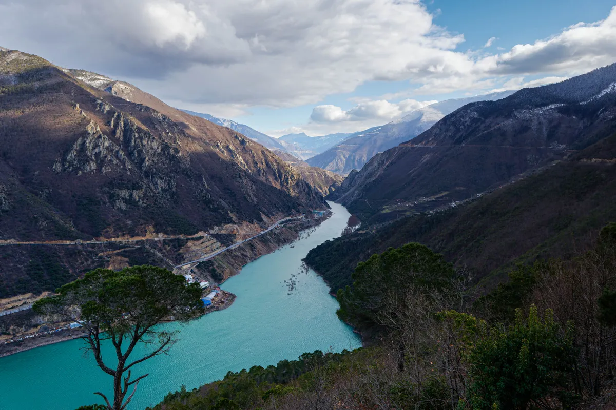
Hatila Valley National Park was declared a national park in 1994, and is one of the most unique nature paradises of Türkiye with its V-type deep canyon cleft and extraordinary plant richness. More than 500 relict and endemic plant species live in the valley, where the Mediterranean and Black Sea climates intersect. Local people say that the valley is a geography blessed with healing spring waters and wildlife diversity.
Geographical Structure, Altitude and Natural Features
Its altitude rises from 170 meters to 2200 meters. The flowing Hatila Stream, steep andesite rock canyons, and oak, chestnut, beech and spruce forests lie on the valley floor. It is home to rare wild species such as brown bear, hook-horned mountain goat and lynx.
Visiting Hours, Days and Entrance Fees
- Entrance Fee: Subject to the Nature Conservation and National Parks tariff (symbolic entrance fee per person and vehicle).
- Visiting Hours and Days: Open 7 days a week between 08:00 - 19:30.
- Rules, Safety and Baby Stroller/Disabled Access: You should not go beyond the designated walking trails; camping areas are available; Hiking equipment is recommended.
- Facilities and Facilities: There are bungalow accommodation houses, tent camping area, picnic tables, country restaurant, fountains and WC.
Transportation, Public Transit Routes and Exact Location
- Address / Open Location: Hatila Valley National Park Area, Taşlıca Village Road, Artvin Center.
- Road Condition and Vehicle Availability: It is 10 km away from Artvin city center; asphalt and concrete pavement national park road; It can be reached by all passenger vehicles.
- Real Public Transportation Information: Transportation from Artvin center is provided by national park shuttles, tours and taxis.
- Parking Availability: There is a parking lot for 80 vehicles at the entrance gate and in the camping area.
Contextual Experience Tips, Photography and Local Gastronomy
- Best Photo Spots and Frames: Wooden bridges on the valley floor, lush canyon corridor and waterfall spots.
- Light and Shooting Hours: Sun rays filtering into the canyon in the morning hours.
- Local Gastronomy Recommendations: Red spotted trout and pita with village butter in the national park facilities.
Explore Full 5-Section Guide & Map for Hatila Valley National Park & Canyon →
10. Genya Mountain and Panoramic Viewing Area
Free Public Access • GPS: 41.1481, 41.8367
History and General Information / Local Legends and Folklore
The legendary Genya Mountain, rising towards the sky just south of Artvin city center and reaching an altitude of 1,950 meters, is one of the most sacred natural assets identified with the passion for nature of the Artvin people. When viewed from the top, the canyon crevices of the Çoruh River, Artvin city center, the huge Atatepe statue, Kafkasör Plateau and the Karçal and Kaçkar mountain ranges shining on the horizon are viewed with a breathtaking 360-degree panorama. It is said among the local people that Genya's wind pumps clean air into the city and that the centuries-old Scots pine trees at the foot of the mountain are the green shield of Artvin.
Geographical Structure, Altitude and Natural Features
It is located on a steep ridge line at an altitude of approximately 1,950 meters above sea level. It is covered with centuries-old Scots pine, spruce and oak groves and endemic alpine meadows.
Visiting Hours, Days and Entrance Fees
- Entrance Fee: Climbing the mountain and visiting the viewing area is completely free.
- Visiting Hours and Days (Mandatory): Open 7 days a week from sunrise to sunset; It should be visited between May and November, except for winter conditions.
- Rules, Safety and Stroller/Disabled Access: The high altitude mountain road is stabilized and requires careful driving. Since the viewing hill is natural ground, sneakers are recommended; It is not suitable for baby strollers and wheelchairs.
- Facilities and Facilities: There is a natural observation terrace, wooden pergolas and picnic areas.
Transportation, Public Transit Routes and Exact Location
- Address / Open Location: Genya Mountain Zirve Location, Kafkasör Ridge, 08000 Artvin Center / Artvin.
- Road Condition and Vehicle Suitability: The summit can be reached in 35 minutes by SUV or passenger cars with careful driving, via the stabilized mountain road leaving Artvin center via Kafkasör Plateau.
- Real Public Transportation Information (Mandatory): There is no direct minibus to the summit; You can come to the plateau with Kafkasör minibuses and go on a nature walk, or a private vehicle should be preferred.
- Parking Availability: There are natural vehicle parking areas on the observation plain.
Contextual Experience Tips, Photography and Local Gastronomy
- Best Photography Points and Frames: Postcard-worthy panoramic photographs combining Artvin city center, Atatepe and the snowy Karçal Mountains in the same frame from the summit viewpoint.
- Light and Shooting Hours: The first light of the morning and the moments when the mountain shadows hit the Çoruh canyon at sunset.
- Visiting Time: Between June and October; Summer and autumn days, when the air is clearest, are perfect.
- Local Gastronomy Recommendations: Fresh highland tea brewed in a samovar at the summit, Artvin corn bread and walnut kete.
Explore Full 5-Section Guide & Map for Genya Mountain and Panoramic Viewing Area →
What to Eat in Artvin? Registered Local Delicacies & Gastronomy
A trip to Artvin is incomplete without tasting its officially registered geographical indication products and centuries-old Anatolian recipes:
1. Pucuko (Yemekler ve çorbalar)
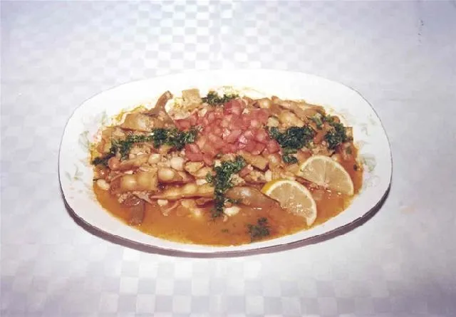
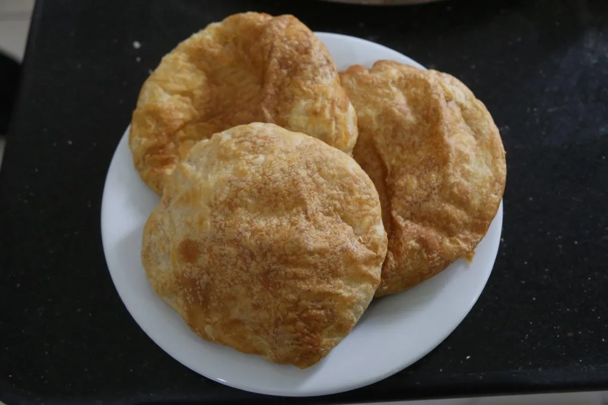
Puçuko is a geographically indicated value of ours, specific to the Artvin region and registered by the Turkish Patent and Trademark Office on 26.12.2017 (with registration number 303).
View Official Geographical Indication Dossier for Pucuko →
2. Borcka Iron Apple (İşlenmiş ve işlenmemiş meyve ve sebzeler ile mantarlar)
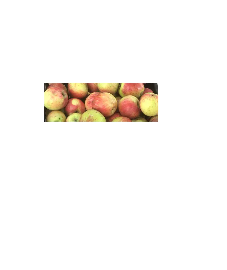
A registered apple grown in the Macahel Valley, with a texture as hard as a stone, juicy, and does not rot on the hanger throughout the winter.
History: UNESCO Biosphere Reserve The durable apple of the Macahel valley.
View Official Geographical Indication Dossier for Borcka Iron Apple →
3. Hopa Anchovy Bread (Fırıncılık ve pastacılık mamulleri, hamur işleri, tatlılar)
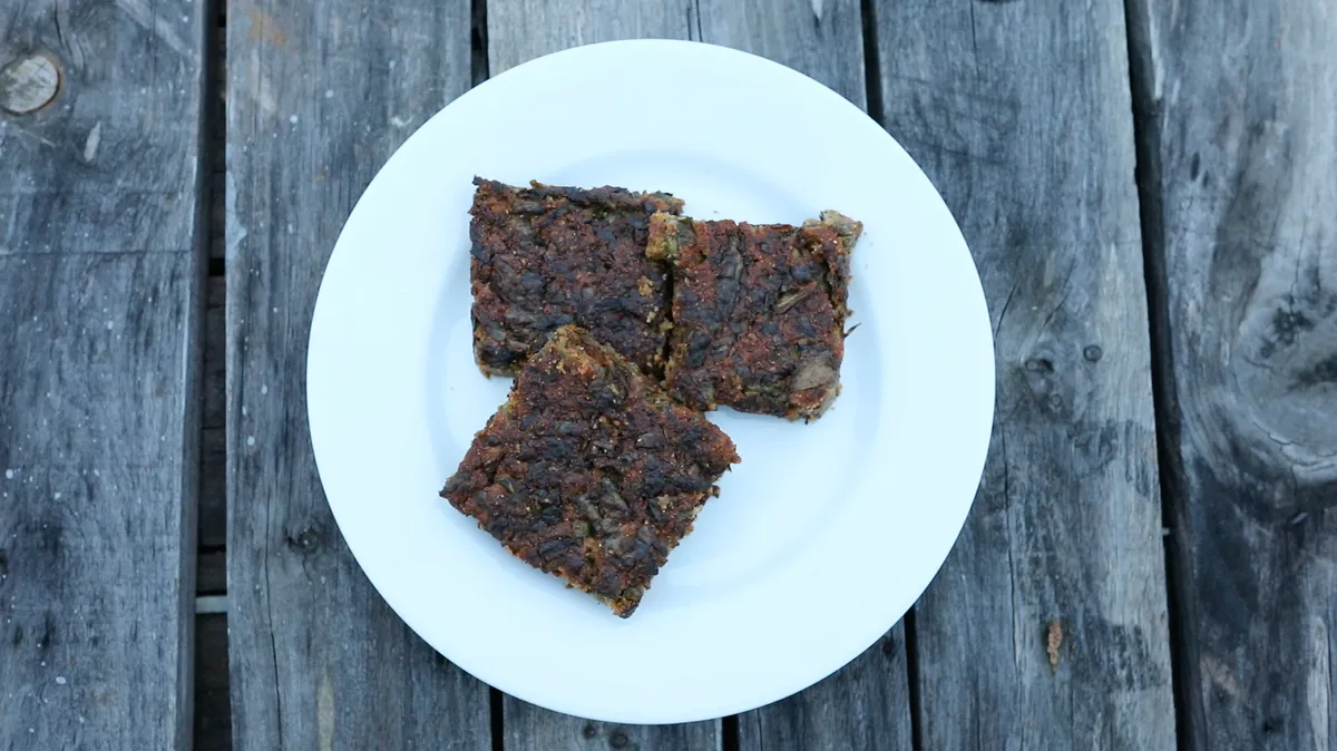
Fresh anchovy, corn flour, leek, chard and mint mixture fried like a pomegranate on a tray in a stone oven.
History: A century-old anchovy bread prepared by Black Sea fishermen after returning from the sea.
View Official Geographical Indication Dossier for Hopa Anchovy Bread →
4. Hatila Honey (Bal)
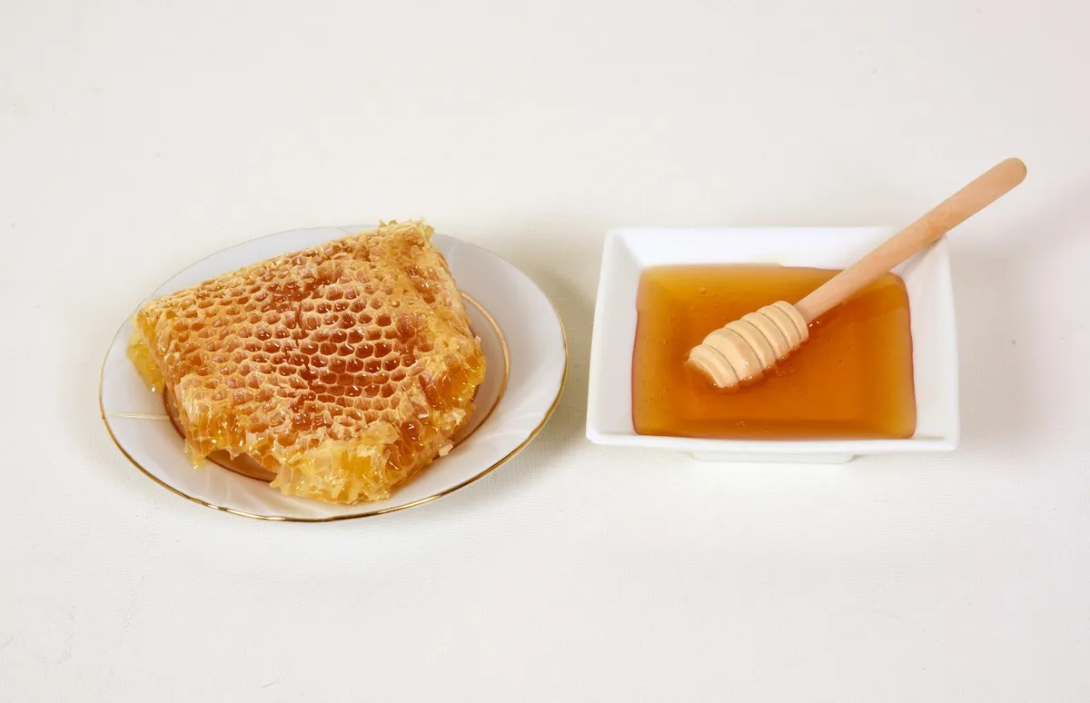
Hatila Honey is a geographically indicated value of ours with an official Origin Name, unique to the Artvin region and registered by the Turkish Patent and Trademark Office on 17.09.2021 (with registration number 893).
View Official Geographical Indication Dossier for Hatila Honey →
5. Arhavi Chestnut Honey (Bal)
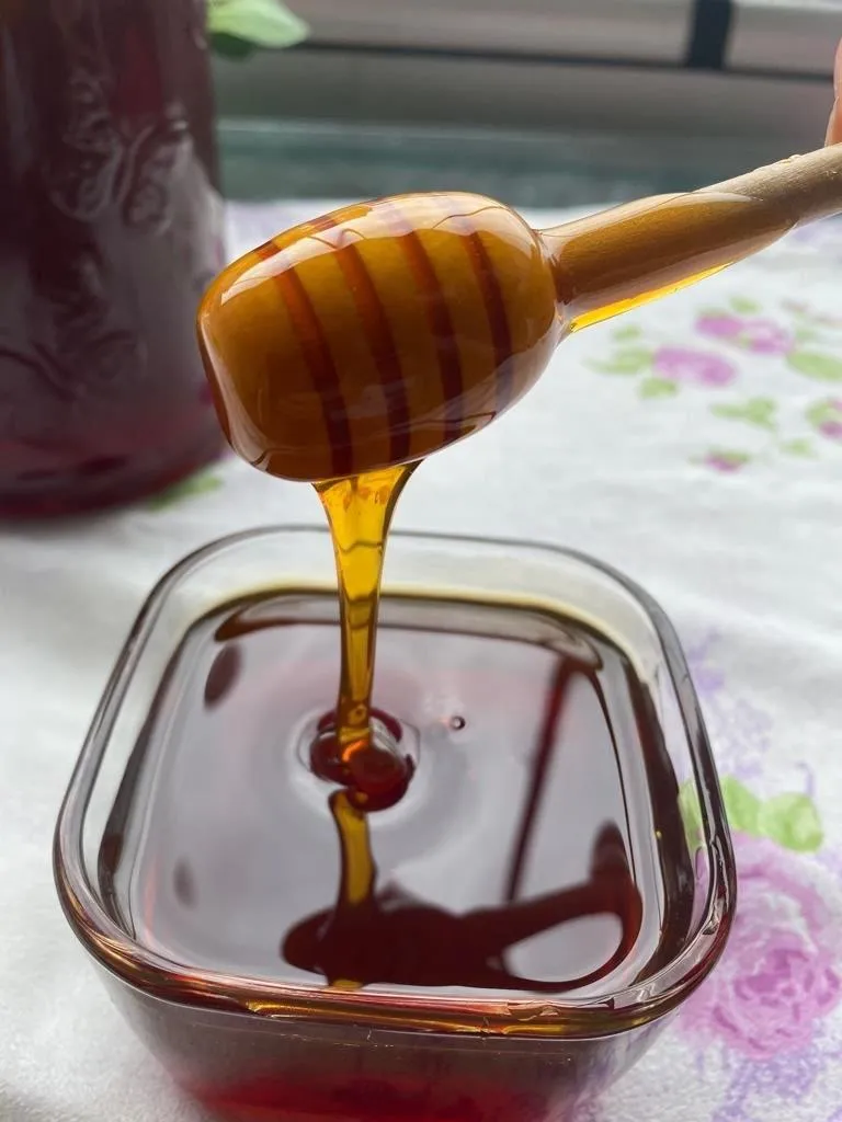
Arhavi Chestnut Honey is a value with a geographical indication of its official Origin Name, unique to the Artvin region, registered by the Turkish Patent and Trademark Office on 10.11.2022 (with registration number 1252).
View Official Geographical Indication Dossier for Arhavi Chestnut Honey →
6. Arhavi Terminus (Fırıncılık ve pastacılık mamulleri, hamur işleri, tatlılar)

Arhavi Terminus is an official Geographically Indicated value specific to the Artvin region, registered by the Turkish Patent and Trademark Office on 05.05.2025 (with registration number 1732).
View Official Geographical Indication Dossier for Arhavi Terminus →
Practical Travel & Transit Planning for Artvin (2026)
| Planning Category | Verified Local Information |
|---|---|
| Region & Administrative Center | Artvin, Türkiye |
| Best Time to Visit | Spring (April–June) and Autumn (September–November) for ideal sightseeing weather; Summer for highlands and coastal routes. |
| Public Transit & Highway Access | Regular municipal buses and local minibus cooperatives (Dolmuş) depart daily from the Artvin Intercity Bus Terminal (Otogar) directly to Merkez. |
| Recommended Stay | 1 to 2 full days to explore the main historical landmarks, nature trails, and local culinary stops. |
Frequently Asked Questions About Visiting Artvin
What are the must-see places to visit in Artvin?
The top verified attractions in Artvin include Artvin Castle (Historical Livane Castle), Berta Historical Stone Arch Bridge (Ortaköy), Ortaköy (Berta) Historical Monastery Ruins, Historical Salih Bey (Iskale) Mosque, Atabarı Ski Center (Mersivan Mountain). Each location offers documented historical or natural heritage with clear road access.
How can I get to Artvin by public transport or car?
You can reach Artvin easily by car via Artvin's main provincial highways, or take regular municipal buses and district minibuses departing throughout the day from the Artvin central bus terminal (Otogar).
What are the famous local dishes and traditional foods to try in Artvin?
When visiting Artvin and Artvin, be sure to taste officially registered specialties such as Pucuko, Borcka Iron Apple, Hopa Anchovy Bread, Hatila Honey, Arhavi Chestnut Honey, prepared by local artisans and traditional restaurants.
Are the attractions in Artvin suitable for families and day trips?
Yes. Most historic monuments, parks, museums, and promenade areas in Artvin are family-friendly and well-suited for both weekend getaways and full-day cultural itineraries.
When is the best season to visit Artvin?
Spring and autumn offer the most comfortable temperatures for walking tours and photography in Artvin, while summer is popular for nature recreation, plateaus, and festivals.