Çamardı, the popular and well-established district of our Niğde province, welcomes those who want to explore it in 2026 with its historical castles, walls, stone arch bridges and architectural monuments that have defied centuries. Those who plan a trip in Çamardı and ask "Where are the Historical Buildings and Castles and how to get there?" For those looking for an answer to the question: Kavlaktepe Underground City, Bademdere Historical Taş Mosque and Plateau, Demirkazık Mountain House and Climbing Center, Çamardı Martyrs Park and City We have brought together 4 must-see historical buildings and castles, especially the Square, with current visiting hours, fee information and transportation guide for 2026.
2026 Çamardı Historical Buildings and Castles Summary
This guide contains a total of 4 registered and verified points. Private businesses and camping areas are excluded, only natural and historical properties open to the public are listed.
1. Kavlaktepe Underground City
History & True Legends / Legends
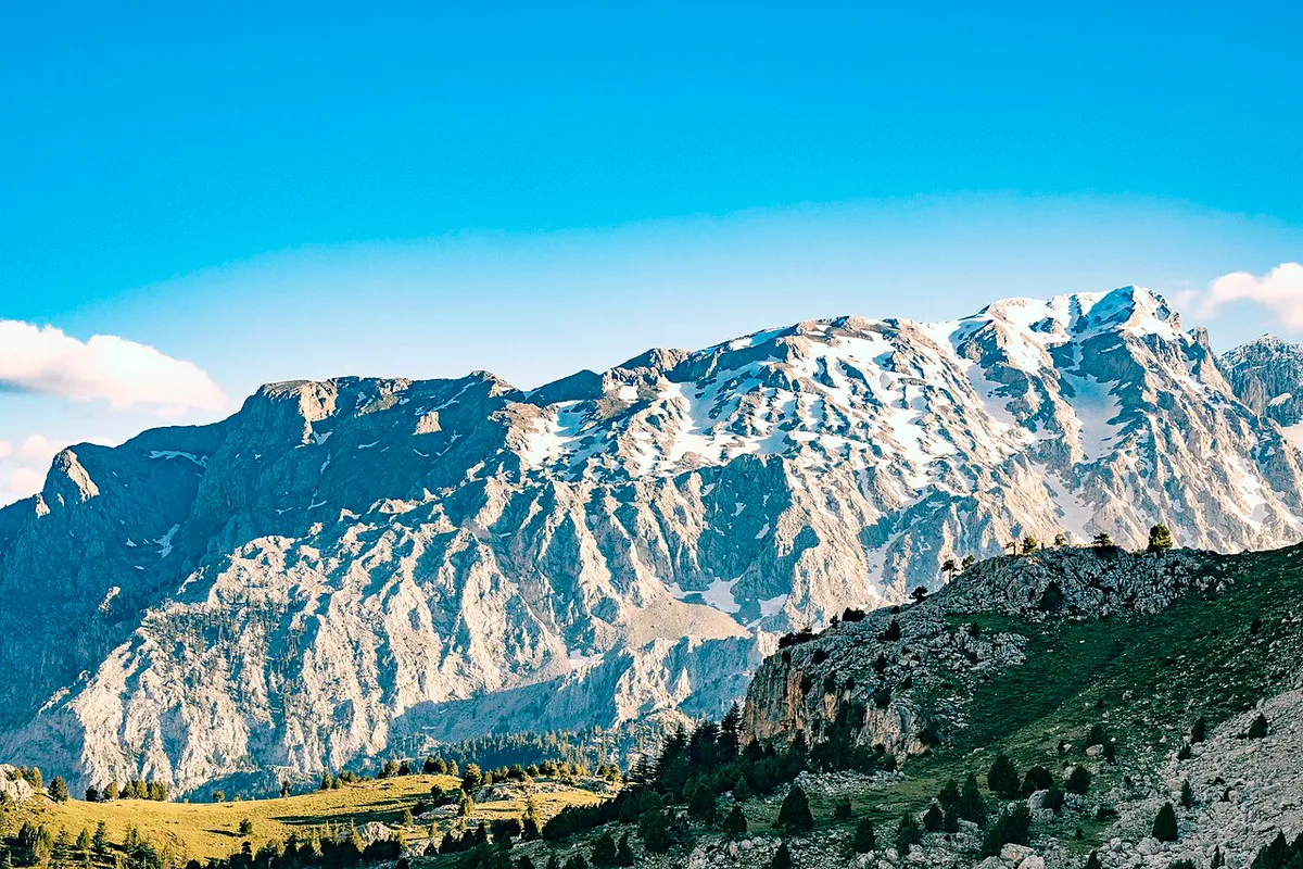
Kavlaktepe Underground City is a strategic rock-carved shelter complex located at the foothills of the magnificent Aladağlar range, within the borders of Kavlaktepe Village in Çamardı district, dating back to the Byzantine period (8th - 12th centuries AD). The underground settlement, which spans an area of approximately 600 square meters, consists of 19 independent rock chambers connected to each other with narrow tunnels and bolt stone (tigraz) locking mechanisms. This underground city ensures the security of the historical caravan and military roads extending from the Aladağ Mountains to the Cilician Gates (Gülek Strait); It was built to withstand long-term sieges with its food warehouses, ventilation shafts and cisterns. In folk narratives, it is said that the secret rooms hidden in the depths of the tunnels are protected by the shadow of the eagles on the Demirkazık summit.
Geographical Structure & Altitude & Nature
The underground city is carved into a tuff and limestone rocky hill on the western outskirts of Aladağlar National Park, at an altitude of approximately 1,450 meters above sea level. It is a mountainous geography surrounded by the steep 3,000-meter peaks of the Aladağlar, pine forests and apple orchards.
Visiting Hours & Days & Entrance Fee
- Entrance Fee: Visiting the ruins is completely free.
- Visiting Hours and Days (Mandatory): It can be visited 7 days a week between 09:00 - 18:00 without interruption.
- Rules, Safety and Stroller/Disabled Access: A flashlight and non-slip-soled hiking shoes are required as the underground tunnels are narrow and stepped; Not wheelchair or stroller accessible.
- Facilities and Facilities: There is a grocery store, fountain and village coffee house in the village.
Real Transportation & Public Transport Lines & Open Location
- Address / Open Location: Kavlaktepe Köyü Mevkii, on Demirkazık Yolu, 51660 Çamardı/Niğde.
- Road Conditions and Vehicle Availability: It is 46 km from Niğde city center and 24 km from Çamardı district center. It can be easily reached by all passenger vehicles by following the asphalt road from the Niğde-Çamardı highway to the Kavlaktepe junction.
- Actual Public Transportation Information (Mandatory): Transportation is provided by Çamardı and Kavlaktepe village minibuses departing from Niğde Village Garage and getting off at the village entrance.
- Parking Availability: Free car parking is available in the village square and near the ruins.
Contextual Experience Tips (Tourism & Nature & Adventure)
- Best Photo Spots and Frames: When looking out from the rock-carved entrance gate of the underground city, the frames framing the snowy Aladağlar peaks offer unique contrast.
- Light and Shooting Times: When the first light of the morning paints the western face of the Aladağlar red, environmental shots are extraordinarily impressive.
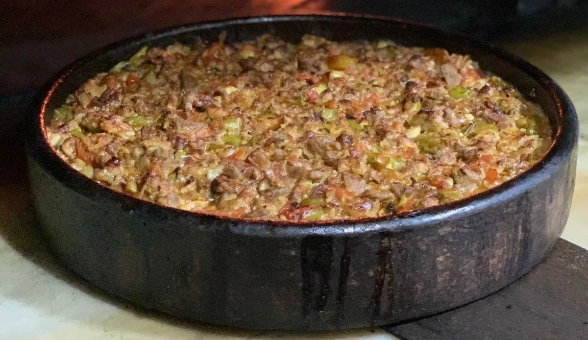
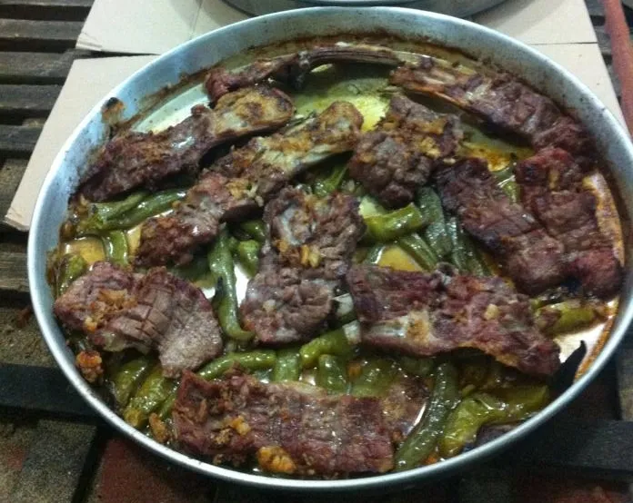
- Local Gastronomy Recommendations: During the Çamardı trip, you should try the famous Çamardı ice cream, mountain thyme tea and lamb casserole with baked potatoes.
2. Bademdere Historical Stone Mosque and Plateau
History & True Legends / Legends
Bademdere Historical Stone Mosque and Plateau is an original village mosque and the surrounding plateau texture, built with local cut stone masonry during the 19th century Ottoman period in the Bademdere town of Çamardı. Bademdere is famous for its fruit vineyards and walnut groves in the cool valleys of the Taurus Mountains, and the wooden ceiling and stone altar of the mosque reflect the delicate art of the village masters. According to the dervish legends that have been told in the region for centuries, the springs of Bademdere were flooded with the prayers of the great saints, and the centuries-old plane tree in the mosque courtyard became the shade of the dervishes.
Geographical Structure & Altitude & Nature
The settlement is located in the cool valley of the Taurus slopes, at an altitude of approximately 1,450 meters. It is covered with almond, walnut, apple orchards and lush mountain springs.
Visiting Hours & Days & Entrance Fee
- Entrance Fee: The visit is completely free.
- Visiting Hours and Days: It is open 7 days a week from morning prayer to night prayer.
- Rules, Safety and Baby Stroller/Disabled Access: One must enter the mosque without shoes and the rules of etiquette must be followed; The entrance part is flat.
- Facilities and Facilities: Ablution facility, fountain, toilet and village coffeehouse are available.
Actual Transportation & Public Transport Lines & Open Location
- Address / Open Location: Bademdere Köyü, 51660 Çamardı / Niğde.
- Road Conditions and Vehicle Availability: It is 12 km away from Çamardı district center; It can be reached in 15 minutes by all passenger vehicles via the asphalt road.
- Actual Public Transportation Information: You can go there with the Bademdere minibuses departing from Niğde and Çamardı.
- Parking Availability: There is free parking in front of the mosque and in the village square.
Contextual Experience Tips
- Spiritual Visit and Prayer Etiquette: It is recommended to pray quietly in the historical stone mosque and to pray in the centuries-old courtyard.
- Documentary & Respectful Shooting: Cut stone walls, wooden ceiling decorations and historical stone houses of the village can be photographed.
- Important Commemoration Days: Village people come together in the historical courtyard on Fridays and religious holidays.
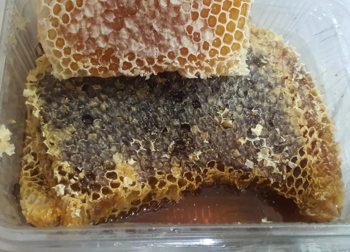
- Local Gastronomy Recommendations: Bademdere's registered beans, homemade baklava with walnuts and plateau honey should be tasted.
3. Demirkazık Chalet and Climbing Center
History & True Legends / Legends
Demirkazık Mountain House and Climbing Center is a symbolic facility where the history of mountaineering in Turkey was born and the main base of local and foreign climbers climbing the legendary 3,756-meter Demirkazık Peak of the Aladağlar. The center, established under the auspices of the Ministry of Youth and Sports and the Turkish Mountaineering Federation, is Türkiye's first modern mountaineering training center. The center, where master mountaineers from all over the world have drawn routes for years and where the first winter ascents and rescue drills have been carried out, is a legend of mountain culture in the heart of the Aladağlar.
Geographical Structure & Altitude & Nature
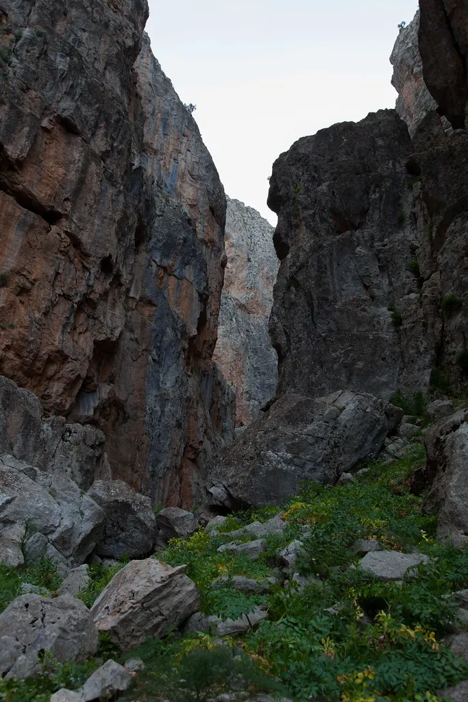
The facility is located on a wide steppe plateau at the foot of Demirkazık Mountain, at an altitude of approximately 1,600 meters. It is surrounded by giant limestone walls and the exit of Cımbar Canyon.
Visiting Hours & Days & Entrance Fee
- Entrance Fee: Visiting the area is free; accommodation and food services are subject to the federation/hotel tariff.
- Visiting Hours and Days: Open 24 hours a day, 7 days a week.
- Rules, Safety and Stroller/Disabled Access: The facility surroundings are flat and suitable for everyone; Mountain trails should not be climbed without a guide or permission.
- Facilities and Facilities: Accommodation rooms, restaurant, cafeteria, hot shower, climbing library and recreation room are available.
Real Transportation & Public Transport Lines & Open Location
- Address / Open Location: Demirkazık Köyü Yolu, 51660 Çamardı / Niğde.
- Road Conditions and Vehicle Availability: It is 18 km away from Çamardı district center; The road is completely smooth asphalt and can be easily reached by all passenger vehicles.
- Actual Public Transportation Information: Demirkazık village minibuses departing from Niğde and Çamardı arrive right in front of the facility.
- Parking Availability: There is a large free parking area in front of the chalet.
Contextual Experience Tips
- Best Photo Spots and Frames: Demirkazık Peak and snowy slopes rising majestically from the terrace of the chalet.
- Light and Shooting Times: 'Alpenglow' moment in the early morning hours when the sun paints the Demirkazık cliffs red.
- Local Gastronomy Recommendations: Highland soup, lamb stew and fresh mountain thyme tea cooked in the chalet should be experienced.
4. Çamardı Martyrs Park and City Square
History & True Legends / Legends
Çamardı Martyrs Park and City Square is a central memorial area built in the district center to keep alive the memory of our beloved martyrs who died for the independence of the homeland and the peace of the nation. The Martyrs' Monument located in the square proudly bears the names of the heroic Çamardı people who died from Çanakkale to the War of Independence and in the defense of the homeland. The square, which is the meeting point of mountain climbers, district people and visitors, represents Çamardı's sense of national solidarity and loyalty.
Geographical Structure & Altitude & Nature
The square is located in the district center overlooking the Ecemiş Stream Valley, at an altitude of 1,250 meters. It is greened with pine trees, acacia and flower beds.
Visiting Hours & Days & Entrance Fee
- Entrance Fee: It is open to the public and completely free.
- Visiting Hours and Days: It can be visited 24 hours a day, 7 days a week.
- Rules, Safety and Stroller/Disabled Access: Walking surfaces are flat and fully accessible for disabled strollers and strollers.
- Facilities and Facilities: There are resting benches, fountain, children's playground, tea garden and tradesmen's shops in the surrounding area.
Real Transportation & Public Transport Lines & Open Location
- Address / Open Location: Çarşı Mahallesi, Akşam Caddesi, 51660 Çamardı / Niğde.
- Road Conditions and Vehicle Availability: It is on the main street in the town centre; It can be easily reached by all vehicles.
- Real Public Transportation Information: Çamardı district minibuses departing from Niğde center drop off passengers right next to the square.
- Parking Availability: Free municipal parking is available around the square.
Contextual Experience Tips
- Spiritual Visit and Prayer Etiquette: It is recommended to observe a moment of silence in front of the martyrs' monument and recite Fatiha to the souls of the sons of the country.
- Documentary & Respectful Shooting: The Martyrs' Monument and the Taurus Mountains silhouette visible in the background can be photographed.
- Important Commemoration Days: Ceremonies are held with the district protocol on 18 March Martyrs' Day and 29 October Republic Day.
- Local Spiritual Tradition: On religious days and holidays, lokma dessert and halva are distributed to citizens in the square.
Çamardı Places to Visit and Map Guide (2026)
To view all touristic spots within the borders of Çamardı with their exact coordinates on the map and to get directions:
Çamardı Places to Visit Map and All Points Page
Other District Travel Guides in Niğde Province (2026)
The most popular touristic and cultural routes in the neighboring districts of Niğde: