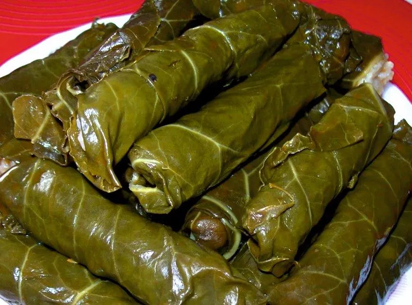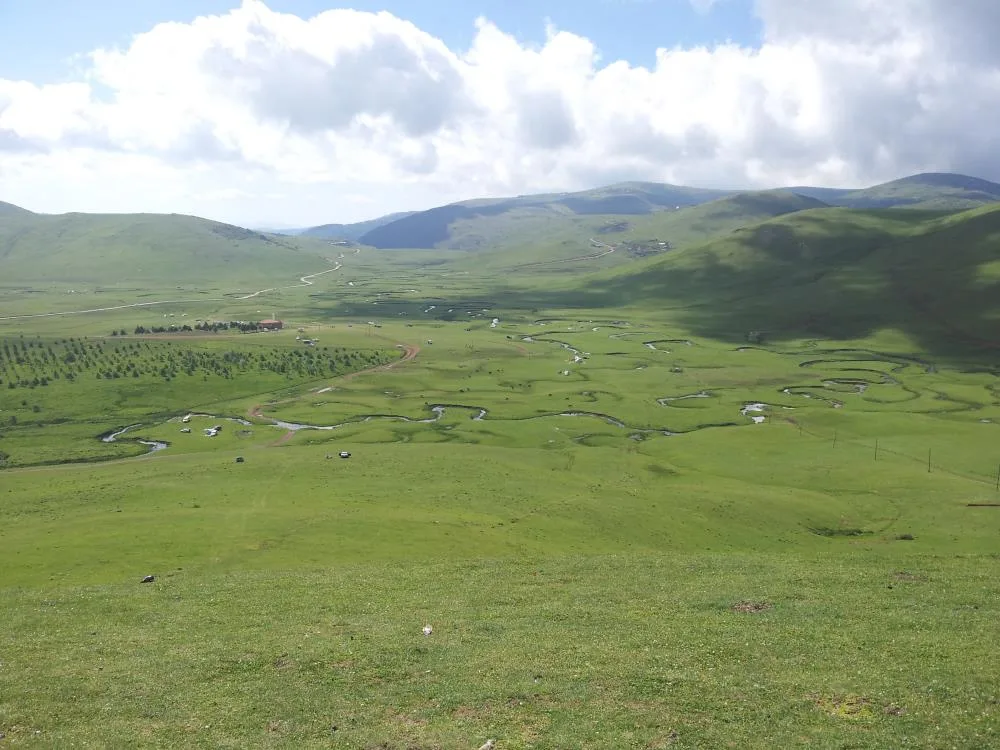

Planning a journey to Perşembe, Ordu? This comprehensive 2026 Winter Tourism & Ski Resorts guide brings together 10 verified landmarks, natural wonders, and cultural heritage sites with official visiting hours, GPS coordinates, public transit connections, and local gastronomy recommendations.
Quick Highlights & Discovery Route in Perşembe, Ordu
- Jason Cape and Historical Jason Church
- Hoynat Island and Bird Sanctuary
- Kordon Tepe Observation Terrace and Paragliding Area
- Historical Jason Lighthouse
- Thursday Beach Promenade and Vona Park
- Historical Medreseönü Çantı Mosque and Fishing Harbor
- Kabataş Halva
- Ordu Yayla Beet Pickle / Ordu Dürüm Pickle
Winter Tourism, Snow Landscapes & Cozy Seasonal Travel Guide in Perşembe, Ordu
While many travelers associate Turkey with summer holidays, Perşembe, Ordu (Ordu) reveals a serene and atmospheric charm during the winter months. Snow-dusted hills, misty valleys, quiet historic streets, and hearty wood-fired Anatolian dishes make winter a rewarding season to discover Perşembe, Ordu.
- Winter Photography & Nature: Crisp morning light, snow-covered forests, and tranquil viewpoints offer extraordinary winter photography in Perşembe, Ordu.
- Warm Winter Gastronomy: Warm up at local artisan restaurants with hot regional soups, slow-cooked casseroles, salep, and herbal mountain teas.
- Road & Weather Preparation: Ensure your vehicle is equipped with winter tires and check provincial highway weather updates when traveling to higher elevations around Perşembe, Ordu.
Top Verified Winter Tourism & Ski Resorts & Must-See Landmarks in Perşembe, Ordu
1. Jason Cape and Historical Jason Church

Free Public Access • GPS: 41.1351, 37.6827
History and General Information / Local Legends and Folklore
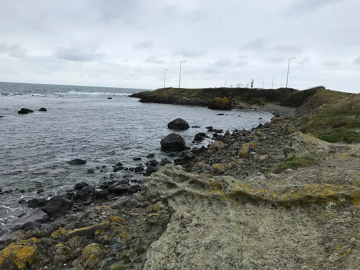
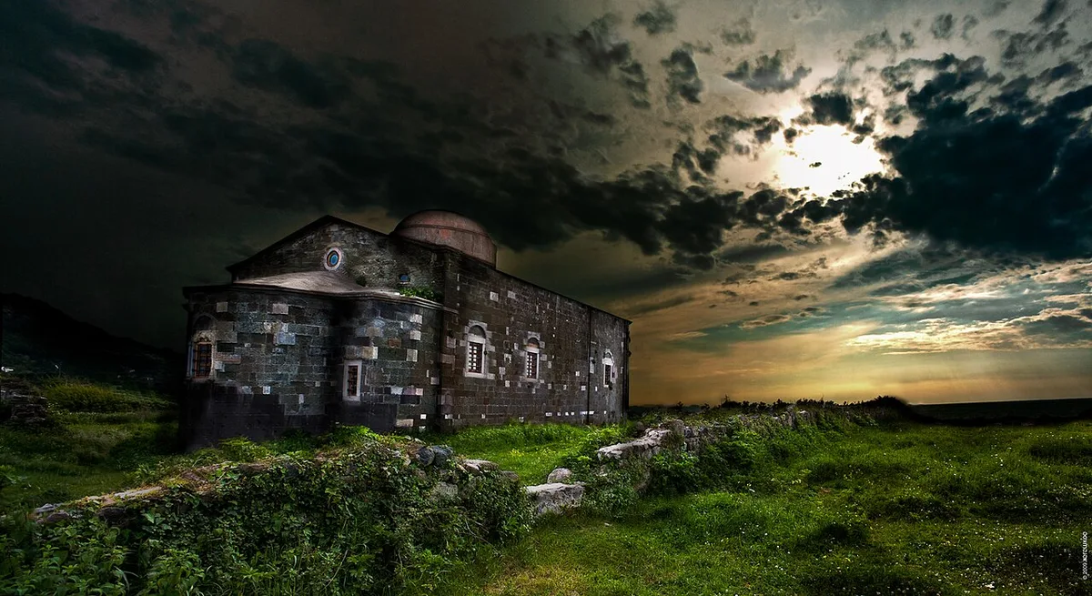
Cape Jason is one of the most fascinating peninsulas of the Black Sea, and in ancient Greek mythology, it is the legendary cape where the Argonauts, led by Captain Jason, landed and rested during their legendary sea expedition to search for the "Golden Fleece" in the Caucasus. The registered Historical Jason Church, built of cut stone in 1869 at the farthest point of the cape, is dedicated to St. Nicholas, who is considered the protector of sailors in storms. There is also a centuries-old historical lighthouse on the peninsula. The most unique geographical miracle of Cape Jason is that it is one of the rare places in the Black Sea where both sunrise and sunset can be watched with the naked eye from the same point over the sea.
Geographical Structure, Altitude and Natural Features
It is a low cape at sea level, extending like an arrow towards the rough waters of the Black Sea. Surrounded by the sparkling sea on three sides, the peninsula has a fascinating landscape combined with natural meadows, seaweeds and ruins of ancient fish ponds.
Visiting Hours, Days and Entrance Fees
- Entrance Fee: Visiting the peninsula area and the historical church is completely free.
- Visiting Hours and Days (Mandatory): Open 24 hours a day, 7 days a week; The interior of the historical church can be visited between 09:00 - 19:00.
- Rules, Safety and Stroller/Disabled Access: The cliffs around the headland should not be approached during stormy weather; The wooden and stone walkways throughout the peninsula are flat and very suitable for strollers and wheelchairs.
- Facilities and Facilities: There is a historical church, lighthouse, wooden viewing benches, cafeteria, fish restaurant, prayer room and modern WC.
Transportation, Public Transit Routes and Exact Location
- Address / Open Location: Çaytepe Mahallesi, Yason Burnu Mevkii, Çarşamba / Ordu.
- Road Condition and Vehicle Availability: Thursday - Bolaman is on the old coastal road (blue bends route); It is 15 km away from the center of Thursday, the asphalt quality is excellent, and it can be easily reached by any passenger vehicle.
- Real Public Transportation Information (Mandatory): Çaytepe - Yason coastal minibuses departing from Ordu and Çarşamba carry passengers to the entrance gate of the peninsula.
- Parking Availability: There is a large free parking lot for 100 vehicles at the entrance of the peninsula.
Contextual Experience Tips, Photography and Local Gastronomy
- Best Photography Spots and Frames: The red sun setting behind the historical cut stone church, the lighthouse silhouette and the ancient stone pier at the tip of the cape offer Turkey's most iconic photo frames.
- Light and Shooting Hours: The sun rising over the sea (dawn) and setting over the sea (golden hour) are fascinating moments for photographers.
- Local Gastronomy Recommendations: Fresh Black Sea whiting, turbot, corn bread and local walnut halva should be tasted at the historical fishmongers on the Jason coast.
Explore Full 5-Section Guide & Map for Jason Cape and Historical Jason Church →
2. Hoynat Island and Bird Sanctuary
Free Public Access • GPS: 41.1177, 37.7287
History and General Information / Local Legends and Folklore
Hoynat Island is one of the largest and most mysterious islands close to the shore of the Black Sea and is a strategic rock that has been used by sailors as shelter and storage since ancient times. In historical records, there are ruins of cisterns on the island where sailors stored fresh water and a pirate watchtower. The main international importance of the island is that it is the most important natural nesting and breeding area in the Black Sea for the rare "Crested Cormorant" (Phalacrocorax aristotelis) birds, which are in danger of extinction and breed only in a few places in Turkey. It is a unique ecological paradise with the dance of seagulls and cormorants in the sky and wooden viewing terraces along the coast.
Geographical Structure, Altitude and Natural Features
It is a steep limestone rock island located approximately 100 meters off the coast. The steep cliffs of the island provide a natural stronghold for seabirds; On the land side, rocky bays and clear sea waters lie.
Visiting Hours, Days and Entrance Fees
- Entrance Fee: The viewing terraces and bird watching area on the beach are completely free (Human travel to the island is prohibited in order to protect the breeding colonies of birds).
- Visiting Hours and Days (Mandatory): It is open to the public 24 hours a day, 7 days a week.
- Rules, Safety and Stroller/Disabled Access: Loud noises, fireworks and drone flights that may disturb the birds are strictly prohibited; The coastal navigation promenade is equipped with wooden platforms and can be visited with wheelchairs and strollers.
- Facilities and Facilities: Bird watching binoculars, wooden viewing terraces, benches, information boards, cafeteria and WC are available.
Transportation, Public Transit Routes and Exact Location
- Address / Open Location: Ramazan Mahallesi Sahil Yolu, Çarşamba / Ordu.
- Road Conditions and Vehicle Availability: Thursday - Bolaman is on the old coastal road; The road is a scenic coastal route with very high asphalt quality and can be reached by all types of vehicles.
- Actual Public Transportation Information (Mandatory): Coastal minibuses running from Ordu and Çarşamba to Bolaman stop at the viewing point right across the island.
- Parking Availability: There is a free parking space for 40 vehicles in the viewing area next to the highway.
Contextual Experience Tips, Photography and Local Gastronomy
- Best Photography Spots and Frames: From the wooden observation deck, the silhouette frames of the steep cliffs of the island and the hundreds of cormorants and seagulls circling around are magnificent.
- Light and Shooting Hours: The first light of the morning, when the birds set sail, and the golden light hitting the back of the island in the evening are the most suitable times for photography.
- Local Gastronomy Recommendations: You should try hazelnut cookies and freshly fried Black Sea anchovies accompanied by a pot of tea at the cafe at the viewing point.
Explore Full 5-Section Guide & Map for Hoynat Island and Bird Sanctuary →
3. Kordon Tepe Observation Terrace and Paragliding Area

Free Public Access • GPS: 41.0672, 37.7674
History and General Information / Local Legends and Folklore
Kordon Hill Observation Deck is the most commanding viewing point overlooking the Cittaslow (Slow City) town center of Çarşamba, with a 360-degree panoramic view of the Vona Peninsula, the blue bays of the Black Sea and the Thursday Port. The hill, which has become a favorite take-off runway for paragliders in recent years, offers sky enthusiasts a unique flight experience thanks to the favorable wind conditions. Parachutes gliding over the lush hazelnut gardens of the Black Sea and landing on the coastal promenade add a lively color to the district.
Geographical Structure, Altitude and Natural Features
The hill is located at an altitude of approximately 230 meters, on a steep green ridge just behind the coast. Its surroundings are covered with lush hazelnut gardens, alder trees and mountain strawberries.
Visiting Hours, Days and Entrance Fees
- Entrance Fee: Visiting is completely free and open.
- Visiting Hours and Days: It can be visited all day long, 7 days a week.
- Rules, Security and Baby Stroller/Disabled Access: Attention should be paid to the safety fences on the edge of the slope, and caution should be exercised on the edge of the cliff; It is possible to go up to the observation deck by car.
- Facilities and Facilities: There are wooden viewing benches, camellias, gazebos and a tea house.
Transportation, Public Transit Routes and Exact Location
- Address / Open Location: Kozağzı Mahallesi, Kordon Tepe Mevkii, 52750 Çarşamba / Ordu.
- Road Condition and Vehicle Availability: Persembe is 2.5 km away from the town center; Passenger vehicles can easily access the concrete and asphalt paved road.
- Real Public Transportation Information: It can be reached from the town center in 5 minutes by taxi or follow the hiking route.
- Parking Availability: Free car parking is available at the entrance of the observation terrace.
Contextual Experience Tips, Photography and Local Gastronomy
- Best Photo Spots and Frames: Fishing boats anchored overhead in Vona Bay, meandering coastline and colorful parachutes soaring in the sky.
- Light and Shooting Times: Early morning hours are ideal for capturing the clarity of the sea, and evening hours are ideal for capturing the golden glow of the sunset.
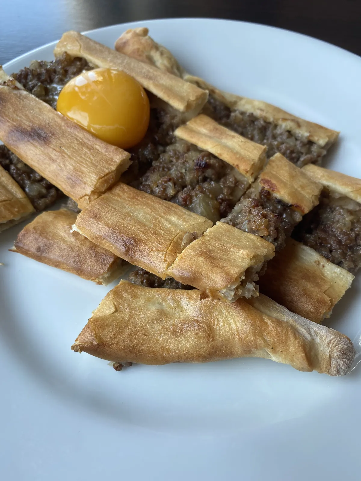
- Local Gastronomy Recommendations: During the cruise break, you should try hazelnut cookies and Thursday pita accompanied with freshly brewed tea.
Explore Full 5-Section Guide & Map for Kordon Tepe Observation Terrace and Paragliding Area →
4. Historical Jason Lighthouse

Free Public Access • GPS: 41.1360, 37.6826
History and General Information / Local Legends and Folklore
The historical Jason Lighthouse is a registered lighthouse built by French engineers in 1860, at the farthest point of Jason Cape, one of the most fairytale peninsulas of the Black Sea. This cape, which is said to have taken refuge in ancient Greek mythology by Captain Jason and the Argonauts on their legendary journey in search of the Golden Fleece, has been a safe harbor for sailors against Black Sea storms for thousands of years. The lighthouse, which creates a perfect contrast with the green meadows of the peninsula and the blue Black Sea waters with its white tower and red hat, continues to guide sailors on stormy Black Sea nights. In folk tales, the legend that the light of the lantern reflects the shine of Jason's lost golden fleece into the sea is passed down from word to mouth.
Geographical Structure, Altitude and Natural Features
The lighthouse was established at an altitude of approximately 15 meters above sea level, at the extreme cape of the Yason Peninsula, which extends like a tongue towards the sea along the Thursday coastline. It is one of the rare geographical locations in the Black Sea where both sunrise and sunset can be watched uninterruptedly from the same point; It is surrounded by natural meadows and sea cliffs.
Visiting Hours, Days and Entrance Fees
- Entrance Fee: Jason Lighthouse and the surrounding walking track are completely free (1st Degree Archaeological and Natural Protected Area).
- Visiting Hours and Days (Mandatory): It is open to visitors 24 hours a day, 7 days a week.
- Rules, Safety and Stroller/Disabled Access: The flat gravel and grass paths along the headland are wheelchair and stroller accessible. Caution should be exercised on rocky cliff edges on wavy days.
- Facilities and Facilities: There are walking paths, observation benches, lighting and a country cafe and parking at the reception point.
Transportation, Public Transit Routes and Exact Location
- Address / Open Location: Çaytepe Mahallesi, Yason Burnu Mevkii, 52750 Çarşamba/Ordu.
- Road Condition and Vehicle Availability: It is 35 km from Ordu city center and 18 km from Çarşamba district center. It can be easily reached by all passenger vehicles on a completely asphalt road via the historical coastal road (old Black Sea highway).
- Real Public Transportation Information (Mandatory): It can be reached by taking the Bolaman - Çaytepe coastal minibuses departing from Ordu and Çarşamba bus stations, getting off at the Yason turnout and walking 500 meters towards the cape.
- Parking Availability: There is a large and free car parking area at the entrance of the peninsula.
Contextual Experience Tips, Photography and Local Gastronomy
- Best Photography Spots and Frames: Golden hour compositions featuring the sun setting behind the lighthouse tower and the waves of the Black Sea offer the world's most stunning sunset photos.
- Light and Shooting Hours: Sunset (golden hour) and blue hour when the lighthouse lights are on are unique for shooting.
- Local Gastronomy Recommendations: On your return from Thursday, you should try fresh Black Sea whiting, anchovy pancakes, corn bread and the famous Vona fried pickles at the seaside restaurants.
Explore Full 5-Section Guide & Map for Historical Jason Lighthouse →
5. Thursday Beach Promenade and Vona Park
Free Public Access • GPS: 41.0353, 37.8018
History and General Information / Local Legends and Folklore
Thursday Beach Promenade and Vona Park is the main recreation and walking area representing the peaceful coastal life of the Thursday district, which is a member of the international 'Cittaslow' (Slow City) network. The cordon established on the shores of the natural harbor known as 'Vona' in ancient times, where Jason and his friends anchored their ships in the Argonauts legend; It instills serenity in visitors with its palm trees, fishermen statues, wooden resting benches and calm atmosphere. This beach, protected in accordance with the Slow City philosophy, is a real Black Sea dream, away from the chaos.
Geographical Structure, Altitude and Natural Features
The esplanade is located at sea level (altitude 2-4 metres) on the sheltered inner shore of Vona Bay. The smell of the sea, the sounds of seagulls and the view of green hills come together.
Visiting Hours, Days and Entrance Fees
- Entrance Fee: It is open to the public and completely free.
- Visiting Hours and Days: It is open to visitors 24 hours a day, 7 days a week.
- Rules, Safety and Baby Stroller/Disabled Access: It is 100% suitable for disabled strollers and strollers with its uninterrupted, flat walking paths.
- Facilities and Facilities: Walking paths, resting pergolas, tea gardens, fish restaurants and children's playgrounds are available.
Transportation, Public Transit Routes and Exact Location
- Address / Open Location: Düz Mahalle Sahil Caddesi, 52750 Çarşamba / Ordu.
- Road Condition and Vehicle Suitability: It extends along the coast in the town centre; It can be reached directly by all vehicles.
- Real Public Transport Information: All Thursday minibuses departing from Altınordu and Fatsa pass by the cordon.
- Parking Availability: There are free municipal parking areas along the Kordon.
Contextual Experience Tips, Photography and Local Gastronomy
- Best Photo Spots and Frames: Vona fisherman statue on the promenade, boats anchored in the quiet bay and sunset colours.
- Light and Shooting Hours: During sunset hours in the evening, the still waters of Vona Harbor turn golden.
- Local Gastronomy Recommendations: You should eat Thursday walnut halva, fresh haddock pancakes and buttered pita in the local restaurants along the promenade.
Explore Full 5-Section Guide & Map for Thursday Beach Promenade and Vona Park →
6. Historical Medreseönü Çantı Mosque and Fishing Harbor
Free Public Access • GPS: 41.0772, 37.6308
History and General Information / Local Legends and Folklore
The historical Medreseönü Çantı Mosque and Fisherman's Harbor is a historical wooden house of worship built with the nailless Çantı technique and the charming harbor next to it, located in Medreseönü, one of the authentic fishing towns of the Thursday coast. The settlement, named 'Medreseönü' due to the ancient madrasah that was located here during the Ottoman period, is known for its expert fishermen and fresh seafood. The mosque, built by interlocking centuries-old chestnut tree logs, is one of the most living examples of Black Sea wood art.
Geographical Structure, Altitude and Natural Features
The port and mosque are located in the rocky bay of the Black Sea, 10 meters above sea level. Hazelnut gardens and sea views are intertwined.
Visiting Hours, Days and Entrance Fees
- Entrance Fee: The visit is completely free.
- Visiting Hours and Days: It is open for worship and visits 7 days a week.
- Rules, Security and Baby Stroller/Disabled Access: The wooden mosque must be entered without shoes, and the historical wooden texture must be preserved; The harbor walk is flat-footed.
- Facilities and Facilities: Ablution facility, fountain, fish restaurants and tea garden are available.
Transportation, Public Transit Routes and Exact Location
- Address / Open Location: Medreseönü Mahallesi, Sahil Caddesi, 52750 Çarşamba / Ordu.
- Road Condition and Vehicle Suitability: It is on the historical Thursday-Fatsa coastal road; It can be easily reached by all vehicles.
- Real Public Transportation Information: Coastal minibuses departing from Thursday and Fatsa pass in front of the port.
- Parking Availability: Free car parking is available around the port.
Contextual Experience Tips, Photography and Local Gastronomy
- Best Photo Spots and Frames: Colorful fishing boats bobbing in the harbour, fishermen spinning nets and the exterior of the historic wooden mosque.
- Light and Shooting Hours: The moment when fishermen return from the sea in the early morning hours gives very vivid photographs.
- Local Gastronomy Recommendations: You should try freshly caught bonito, fried horse mackerel and stuffed kale in Medreseönü port restaurants.
Explore Full 5-Section Guide & Map for Historical Medreseönü Çantı Mosque and Fishing Harbor →
7. Çaka White Sand Beach and Natural Bay
Free Public Access • GPS: 41.1134, 37.7127
History and General Information / Local Legends and Folklore
Çaka White Sand Beach is a natural wonder known as the "Maldives" of the Black Sea, with its fine white sand, waveless shallow sea and turquoise waters, unlike the generally pebbly and rough beach structure of the Eastern Black Sea. The bay, which is said to have taken its name from Çaka Bey, the historical Turkish sailor who reigned in the region, resembles a secret lagoon with the dense stone pine and hornbeam forests around it. The beach, whose sea remains calm even on stormy days thanks to its sheltered crescent-shaped bay structure, has been the favorite resting place of sailors and local people for centuries.
Geographical Structure, Altitude and Natural Features
It is located in a sheltered bay at sea level, where green forests extend into the sea. It is the rarest natural beach ecosystem of the Eastern Black Sea with its fine white sand, shallow and clean sea.
Visiting Hours, Days and Entrance Fees
- Entrance Fee: The public beach and the sandy beach are completely free; Sun lounger and umbrella rental is optional.
- Visiting Hours and Days (Mandatory): Open 24 hours a day, 7 days a week.
- Rules, Safety and Stroller/Disabled Access: Lifeguard warnings must be followed during summer months; There is a flat walking path along the coastline and you can go down to the beach with a stroller.
- Facilities and Facilities: Changing cabins, showers, beach cafeteria, lifeguard tower, children's playground and WC are available.
Transportation, Public Transit Routes and Exact Location
- Address / Open Location: Çaytepe Mahallesi, Çaka Sahili, Çarşamba / Ordu.
- Road Condition and Vehicle Availability: It is 10 km away from Çarşamba district center and can be easily reached by passenger vehicles on a completely asphalt road via the old coastal road.
- Real Public Transportation Information (Mandatory): Çaka - Çaytepe minibuses departing from the center on Thursdays and drop off passengers at the beach entrance.
- Parking Availability: There is an open parking area for 80 vehicles behind the beach.
Contextual Experience Tips, Photography and Local Gastronomy
- Best Photography Spots and Frames: The panoramic bay frame, where the white beach meets the turquoise sea and pine trees, is postcard-perfect.
- Light and Shooting Hours: At noon, when the sun shines brightly on the sea, it reveals the turquoise color of the water; The sunset adds a romantic atmosphere.
- Local Gastronomy Recommendations: Fresh Black Sea whiting, corn bread and Thursday walnut halva should be tasted at the beach facilities.
Explore Full 5-Section Guide & Map for Çaka White Sand Beach and Natural Bay →
8. Belicesu Bay and Crocodile Rock Natural Monument
Free Public Access • GPS: 41.0653, 37.6159
History and General Information / Local Legends and Folklore
Belicesu Bay and Crocodile Rock Natural Monument is a unique geomorphological formation on the Thursday coastline, where the basalt rocks eroded by the sea and waves over thousands of years resemble a giant crocodile lying in the sea. Located on the 'Blue Bends' coastal route between Cape Yason and Bolaman, this bay attracts the attention of nature photographers with its clear waters and rock holes. There are narratives among the local people that this rock is the stone form of a legendary sea monster that protected the sea in ancient times.
Geographical Structure, Altitude and Natural Features
The bay is a natural turquoise bay surrounded by steep volcanic basalt cliffs located at sea level. Its surroundings are covered with laurel, myrtle and maritime pines.
Visiting Hours, Days and Entrance Fees
- Entrance Fee: Entry is completely free and open.
- Visiting Hours and Days: It can be visited 24 hours a day, every day of the year.
- Rules, Safety and Stroller/Disabled Access: Cliffs may be slippery due to seaweed; Sports or sea shoes must be worn.
- Facilities and Facilities: There is an observation deck, tea garden and fish restaurant on the roadside.
Transportation, Public Transit Routes and Exact Location
- Address / Open Location: Belicesu Mevkii, Çaytepe Village, 52750 Çarşamba / Ordu.
- Road Condition and Vehicle Availability: It is on the historical Thursday coastal road; It is 4 km away from Jason Cape and can be easily reached by any passenger vehicle.
- Real Public Transportation Information: Thursday beach minibuses pass right over the bay.
- Parking Availability: Free car parking is available in the viewing area and on the roadside.
Contextual Experience Tips, Photography and Local Gastronomy
- Best Photo Spots and Frames: The full silhouette of Crocodile Rock lying in the sea from the observation deck on the coastal road.
- Light and Shooting Hours: In the afternoon, when the sun turns west, shadow details on the rock become clear.
- Local Gastronomy Recommendations: You should try corn bread with anchovies cooked on wood fire and roasted potatoes at the fishmonger in Belicesu Bay.
Explore Full 5-Section Guide & Map for Belicesu Bay and Crocodile Rock Natural Monument →
9. Efirli Beach and Natural Bay
Free Public Access • GPS: 41.0245, 37.8115
History and General Information / Local Legends and Folklore
Efirli Beach and Natural Bay, located on the border of Altınordu and Thursday, is one of the most established and historical sea bathing centers of Ordu. This wide sandy bay, where local people and guests coming to the city meet the sea since the last periods of the Ottoman Empire, is famous for its calm wave structure and fine sandy shore. Efirli, a coastal culture classic with its historical casinos, tea gardens and fishing shelters, is the liveliest address for sea pleasure in the summer months.
Geographical Structure, Altitude and Natural Features
The beach is a crescent-shaped sheltered natural bay located at sea level. It is one of the safest swimming areas in the Black Sea with its fine sandy coastline and shallow sea.
Visiting Hours, Days and Entrance Fees
- Entrance Fee: Public beach entrance is free; Sun lounger and umbrella rental is subject to operating tariff.
- Visiting Hours and Days: During the summer season, it is open 7 days a week between 08:00 - 20:00, accompanied by a lifeguard.
- Rules, Safety and Stroller/Disabled Access: The beach promenade is flat and wheelchair and stroller accessible; Lifeguard warnings must be followed.
- Facilities and Facilities: Changing cabins, showers, toilets, cafeteria, restaurant and lifeguard tower are available.
Transportation, Public Transit Routes and Exact Location
- Address / Open Location: Efirli Mahallesi Sahil Sitesi, 52750 Çarşamba / Ordu.
- Road Condition and Vehicle Suitability: It is on the Ordu-Samsun old coastal road; It is 5 km from Altınordu center and 6 km from Çarşamba; It can be reached directly by all vehicles.
- Real Public Transportation Information: District minibuses departing from Altınordu and Çarşamba every 10 minutes and stop in front of the beach.
- Parking Availability: There is a large free municipal parking area behind the beach.
Contextual Experience Tips, Photography and Local Gastronomy
- Best Photography Spots and Frames: The cliffs at the end of the crescent bay, the gentle waves hitting the beach and the sky reflecting on the sea at sunset.
- Light and Shooting Hours: The golden hours of afternoon and sunset are the most productive for sea photographs.
- Local Gastronomy Recommendations: Fresh Black Sea whiting, red mullet, rice with anchovies and fresh corn bread should be tasted at Efirli seaside restaurants.
Explore Full 5-Section Guide & Map for Efirli Beach and Natural Bay →
10. Vona Peninsula and Historical Timbis Castle
Free Public Access • GPS: 41.0762, 37.7787
History and General Information / Local Legends and Folklore
Vona Peninsula (Perşembe Harbour) is a legendary maritime sanctuary that has gone down in maritime history as the sheltered and safest natural harbor of the Black Sea since ancient times. The port, where thousands of sailing ships that could not cross the Black Sea during storms took shelter, became a strategic base where the navy wintered and replenished water during its Black Sea voyages during the Ottoman period. The ancient Timbis Castle, located at the tip of the peninsula, controlled the entrance to the harbor with its watchtowers and city walls from the Pontus and Roman periods before Christ. According to local legend, no ship that took shelter in Vona sank in the fierce storms of the Black Sea, and the port was considered a sacred safe harbor for sailors.
Geographical Structure, Altitude and Natural Features
It is at sea level, on a wide cape that curves into the sea in a crescent shape. On one side, there are the calm lake-like waters of Vona Port, and on the other side, the open sea waves of the Black Sea and the green seaside forests.
Visiting Hours, Days and Entrance Fees
- Entrance Fee: The coastal promenade and the historical cape are completely free.
- Visiting Hours and Days (Mandatory): It is open to the public 24 hours a day, 7 days a week.
- Rules, Safety and Stroller/Disabled Access: Walk carefully on breakwater rocks; The cord length is flat interlocking paving stone and is perfectly suitable for strolling with a baby stroller and wheelchair.
- Facilities and Facilities: There is a fishing shelter, historical lighthouse, walking and cycling path, fish restaurants with sea views, cafes, rest benches and WC.
Transportation, Public Transit Routes and Exact Location
- Address / Open Location: Düz Mahalle, Liman Caddesi, Vona Burnu, Çarşamba / Ordu.
- Road Condition and Vehicle Suitability: It is located in the district center of Çarşamba and is directly connected to the main coastal road; It can be reached without any problems by any passenger vehicle.
- Real Public Transportation Information (Mandatory): Thursday minibuses departing from Ordu center and Fatsa drop off passengers directly at the port square.
- Parking Availability: There is a large free parking area for 100 vehicles in the port area and along the promenade.
Contextual Experience Tips, Photography and Local Gastronomy
- Best Photography Spots and Frames: Historical Vona fishing boats, the breakwater lighthouse and the reflections of the steep slopes rising behind them on the sea provide magnificent shots.
- Light and Shooting Hours: The moment when the fishermen return to the harbor in the early hours of the morning and the golden sparkles left by the sun on the harbor bay in the evening are the ideal shooting times.
- Local Gastronomy Recommendations: The famous Vona pita, grilled bonito, red mullet pan and fresh corn bread should definitely be eaten at the fish restaurants in Vona Port.
Explore Full 5-Section Guide & Map for Vona Peninsula and Historical Timbis Castle →
What to Eat in Perşembe, Ordu? Registered Local Delicacies & Gastronomy
A trip to Perşembe, Ordu is incomplete without tasting its officially registered geographical indication products and centuries-old Anatolian recipes:
1. Kabataş Halva (Fırıncılık ve pastacılık mamulleri, hamur işleri, tatlılar)
Kabataş Helva is a geographically indicated value of ours, unique to the Ordu region and registered by the Turkish Patent and Trademark Office on 18.12.2017 (with registration number 282).
View Official Geographical Indication Dossier for Kabataş Halva →
2. Ordu Yayla Beet Pickle / Ordu Dürüm Pickle (İşlenmiş ve işlenmemiş meyve ve sebzeler ile mantarlar)
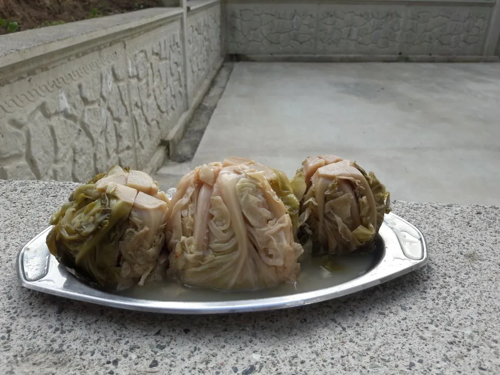
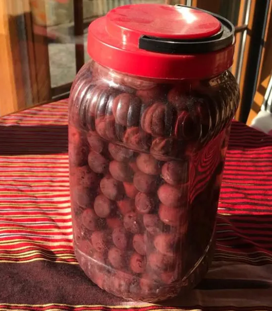
Ordu Yayla Beet Pickle / Ordu Rolled Pickle is a geographically indicated value of ours, specific to the Ordu region, registered by the Turkish Patent and Trademark Office on 15.12.2017 (with registration number 269).
View Official Geographical Indication Dossier for Ordu Yayla Beet Pickle / Ordu Dürüm Pickle →
3. Ordu Hazelnut Burma Dessert (Fırıncılık ve pastacılık mamulleri, hamur işleri, tatlılar)
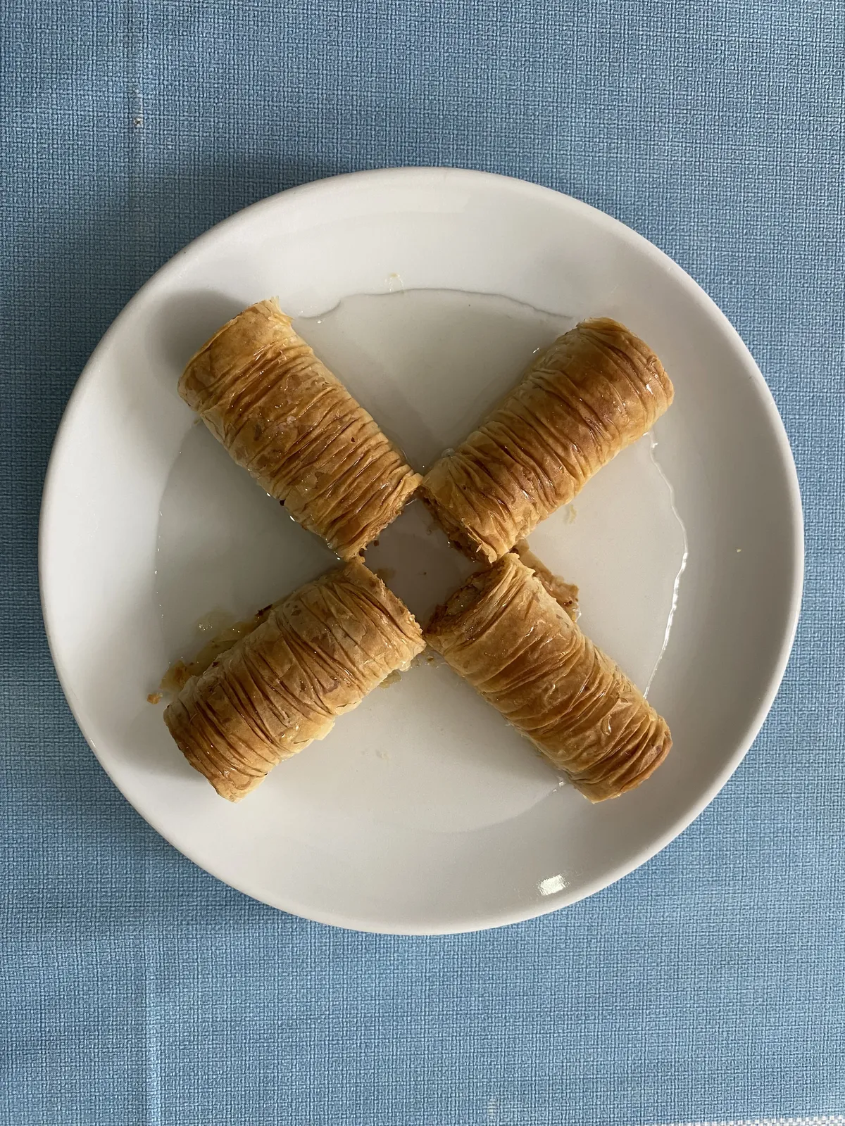
Put plenty of chopped fresh Ordu hazelnuts into the thin dough, shrink it with a rolling pin and turn it into syrup.
History: Ordu is the main dessert of holiday tables and weddings.
View Official Geographical Indication Dossier for Ordu Hazelnut Burma Dessert →
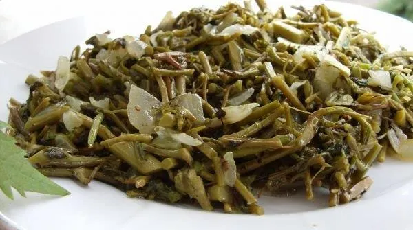
4. Ordu Clumsy Nail (Yemekler ve çorbalar)

Wild cucumber root is pan-fried with cornmeal, egg and butter.
History: An ancient flavor collected from nature by Black Sea women during the spring awakening.
View Official Geographical Indication Dossier for Ordu Clumsy Nail →
5. Ordu Thursday Walnut Halva (Fırıncılık ve pastacılık mamulleri, hamur işleri, tatlılar)
White fibrous halva made by pounding soapwort juice, sugar wax and plenty of walnut kernels with shovels.
History: 100-year-old historical holiday halva of the quiet city Vona (Thursday) port.
View Official Geographical Indication Dossier for Ordu Thursday Walnut Halva →
6. Army Kiwi (İşlenmiş ve işlenmemiş meyve ve sebzeler ile mantarlar)
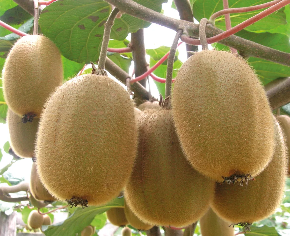
Large table kiwi with high vitamin C and sugar content, grown in a rainy microclimate.
History: The biggest green miracle of the Black Sea coast after hazelnuts.
View Official Geographical Indication Dossier for Army Kiwi →
Practical Travel & Transit Planning for Perşembe, Ordu (2026)
| Planning Category | Verified Local Information |
|---|---|
| Region & Administrative Center | Perşembe, Ordu, Türkiye |
| Best Time to Visit | Spring (April–June) and Autumn (September–November) for ideal sightseeing weather; Summer for highlands and coastal routes. |
| Public Transit & Highway Access | Regular municipal buses and local minibus cooperatives (Dolmuş) depart daily from the Ordu Intercity Bus Terminal (Otogar) directly to Perşembe. |
| Recommended Stay | 1 to 2 full days to explore the main historical landmarks, nature trails, and local culinary stops. |
Frequently Asked Questions About Visiting Perşembe, Ordu
What are the must-see places to visit in Perşembe, Ordu?
The top verified attractions in Perşembe, Ordu include Jason Cape and Historical Jason Church, Hoynat Island and Bird Sanctuary, Kordon Tepe Observation Terrace and Paragliding Area, Historical Jason Lighthouse, Thursday Beach Promenade and Vona Park. Each location offers documented historical or natural heritage with clear road access.
How can I get to Perşembe, Ordu by public transport or car?
You can reach Perşembe, Ordu easily by car via Ordu's main provincial highways, or take regular municipal buses and district minibuses departing throughout the day from the Ordu central bus terminal (Otogar).
What are the famous local dishes and traditional foods to try in Perşembe, Ordu?
When visiting Perşembe, Ordu and Ordu, be sure to taste officially registered specialties such as Kabataş Halva, Ordu Yayla Beet Pickle / Ordu Dürüm Pickle, Ordu Hazelnut Burma Dessert, Ordu Clumsy Nail, Ordu Thursday Walnut Halva, prepared by local artisans and traditional restaurants.
Are the attractions in Perşembe, Ordu suitable for families and day trips?
Yes. Most historic monuments, parks, museums, and promenade areas in Perşembe, Ordu are family-friendly and well-suited for both weekend getaways and full-day cultural itineraries.
When is the best season to visit Perşembe, Ordu?
Spring and autumn offer the most comfortable temperatures for walking tours and photography in Perşembe, Ordu, while summer is popular for nature recreation, plateaus, and festivals.