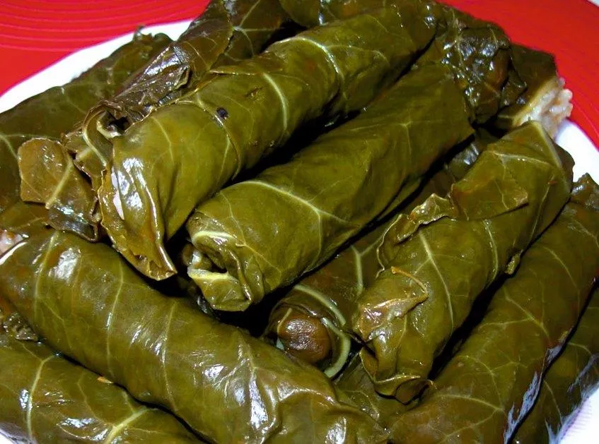

Curious about what makes the culinary culture of Ulubey, Ordu so special? In this 2026 gastronomy and local flavor guide, we explore 15 officially registered geographical indication delicacies alongside 6 iconic cultural and sightseeing stops you should experience during your visit.
Quick Highlights & Discovery Route in Ulubey, Ordu
- Kabataş Halva
- Ordu Yayla Beet Pickle / Ordu Dürüm Pickle
- Ordu Hazelnut Burma Dessert
- Ordu Clumsy Nail
- Ordu Thursday Walnut Halva
- Army Kiwi
- Kupkaya Canyon
- Ohtamysh Waterfall
- Sayacabaşı Recreation Area and Nature Park
Shopping, Traditional Bazaars & Local Markets Guide in Ulubey, Ordu
Exploring Ulubey, Ordu (Ordu) offers a rich shopping experience that blends modern retail avenues with centuries-old Anatolian bazaar traditions (Ahilik culture). Whether you are looking for contemporary shopping centers, bustling weekly neighborhood farmers' markets (Semt Pazarları), or authentic handmade crafts, Ulubey, Ordu caters to every visitor.
In the local markets and artisan workshops of Ulubey, Ordu, visitors can buy farm-fresh seasonal produce, sun-dried herbs, natural olive oil soaps, handwoven textiles, and officially registered geographical indication delicacies of Ordu directly from local producers.
- Weekly Neighborhood Markets (Semt Pazarları): Visit early in the morning for the freshest village cheeses, organic fruits, mountain honey, and homemade preserves.
- Traditional Bazaars & Artisan Shops: Explore the central commercial streets of Ulubey, Ordu for copperware, traditional textiles, ceramics, and authentic regional souvenirs.
- Local Culinary Gifts: Don't leave without packing vacuum-sealed regional spices, roasted nuts, Turkish delight, and registered local specialties of Ordu.
What to Eat in Ulubey, Ordu? Registered Local Delicacies & Gastronomy
A trip to Ulubey, Ordu is incomplete without tasting its officially registered geographical indication products and centuries-old Anatolian recipes:
1. Kabataş Halva (Fırıncılık ve pastacılık mamulleri, hamur işleri, tatlılar)
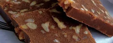
Kabataş Helva is a geographically indicated value of ours, unique to the Ordu region and registered by the Turkish Patent and Trademark Office on 18.12.2017 (with registration number 282).
View Official Geographical Indication Dossier for Kabataş Halva →
2. Ordu Yayla Beet Pickle / Ordu Dürüm Pickle (İşlenmiş ve işlenmemiş meyve ve sebzeler ile mantarlar)
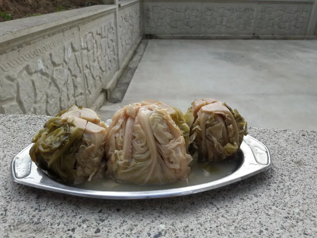
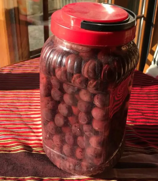
Ordu Yayla Beet Pickle / Ordu Rolled Pickle is a geographically indicated value of ours, specific to the Ordu region, registered by the Turkish Patent and Trademark Office on 15.12.2017 (with registration number 269).
View Official Geographical Indication Dossier for Ordu Yayla Beet Pickle / Ordu Dürüm Pickle →
3. Ordu Hazelnut Burma Dessert (Fırıncılık ve pastacılık mamulleri, hamur işleri, tatlılar)
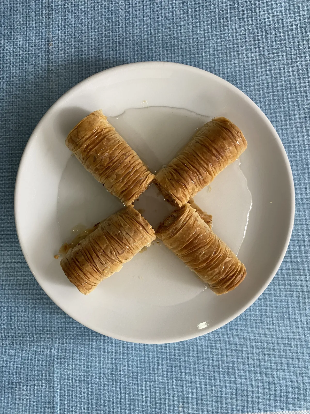
Put plenty of chopped fresh Ordu hazelnuts into the thin dough, shrink it with a rolling pin and turn it into syrup.
History: Ordu is the main dessert of holiday tables and weddings.
View Official Geographical Indication Dossier for Ordu Hazelnut Burma Dessert →
4. Ordu Clumsy Nail (Yemekler ve çorbalar)

Wild cucumber root is pan-fried with cornmeal, egg and butter.
History: An ancient flavor collected from nature by Black Sea women during the spring awakening.
View Official Geographical Indication Dossier for Ordu Clumsy Nail →
5. Ordu Thursday Walnut Halva (Fırıncılık ve pastacılık mamulleri, hamur işleri, tatlılar)
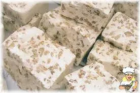
White fibrous halva made by pounding soapwort juice, sugar wax and plenty of walnut kernels with shovels.
History: 100-year-old historical holiday halva of the quiet city Vona (Thursday) port.
View Official Geographical Indication Dossier for Ordu Thursday Walnut Halva →
6. Army Kiwi (İşlenmiş ve işlenmemiş meyve ve sebzeler ile mantarlar)
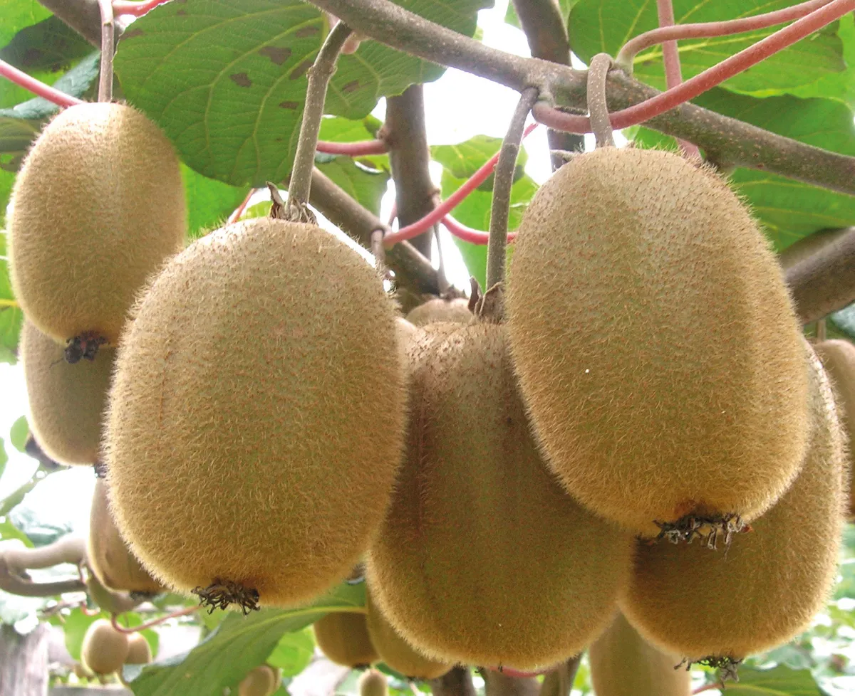
Large table kiwi with high vitamin C and sugar content, grown in a rainy microclimate.
History: The biggest green miracle of the Black Sea coast after hazelnuts.
View Official Geographical Indication Dossier for Army Kiwi →
7. Ordu Roasted Galdirik (Yemekler ve çorbalar)

Ordu Galdirik Roast is a geographically indicated value of ours, unique to the Ordu region and registered by the Turkish Patent and Trademark Office on 17.08.2022 (with registration number 1193).
View Official Geographical Indication Dossier for Ordu Roasted Galdirik →
8. Ordu Roasted Hazelnut Tirmidi (Yemekler ve çorbalar)
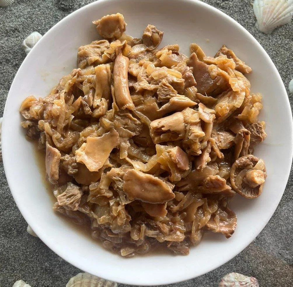
Ordu Roasted Hazelnut Tirmidi is a geographically indicated value of ours, unique to the Ordu region and registered by the Turkish Patent and Trademark Office on 06.12.2024 (with registration number 1668).
View Official Geographical Indication Dossier for Ordu Roasted Hazelnut Tirmidi →
9. Mesudiye Dried Bread / Mesudiye Goliti (Fırıncılık ve pastacılık mamulleri, hamur işleri, tatlılar)
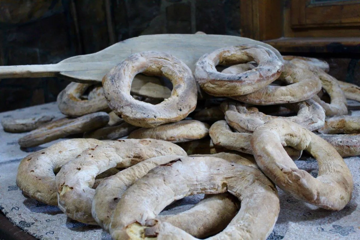
Mesudiye Kuru Bread / Mesudiye Goliti is a geographically indicated value specific to the Ordu region, registered by the Turkish Patent and Trademark Office on 21.11.2022 (with registration number 1262).
View Official Geographical Indication Dossier for Mesudiye Dried Bread / Mesudiye Goliti →
10. Gürgentepe Shepherd's Bean (İşlenmiş ve işlenmemiş meyve ve sebzeler ile mantarlar)
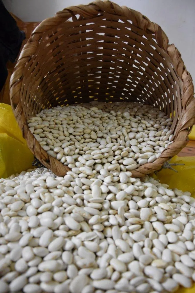
Gürgentepe Shepherd's Bean is a geographically indicated value of ours, unique to the Ordu region and registered by the Turkish Patent and Trademark Office on 11.11.2022 (with registration number 1256).
View Official Geographical Indication Dossier for Gürgentepe Shepherd's Bean →
11. Army Toast (Yemekler ve çorbalar)
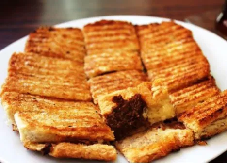
A special large round or rectangular sourdough bread filled with plenty of Ordu paste sausage and cheddar cheese and pressed crispy with butter in cast iron toasters.
History: A hazelnut-flavored local flavor classic offered by nostalgic buffets on the Ordu coast since the 1960s.
Production Method: Special paste and toast sausage is used; It is fried in a casting machine with butter until the outer shell becomes crispy.
View Official Geographical Indication Dossier for Army Toast →
12. Ordu Pita / Ordu Oil (Fırıncılık ve pastacılık mamulleri, hamur işleri, tatlılar)
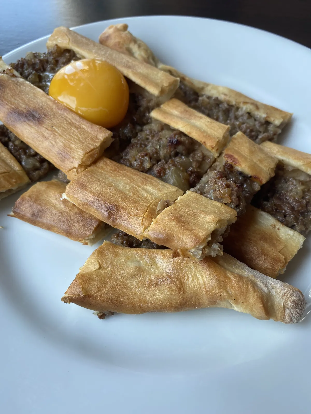
Ordu Pita / Ordu Oil is a geographically indicated value of ours, unique to the Ordu region and registered by the Turkish Patent and Trademark Office on 26.01.2023 (with registration number 1324).
View Official Geographical Indication Dossier for Ordu Pita / Ordu Oil →
13. Ordu Stuffed Pan Dish (Yemekler ve çorbalar)
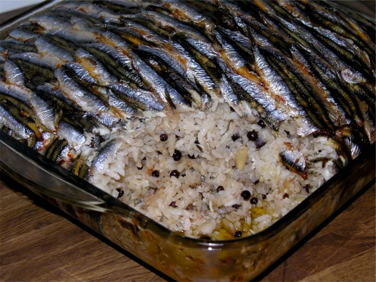
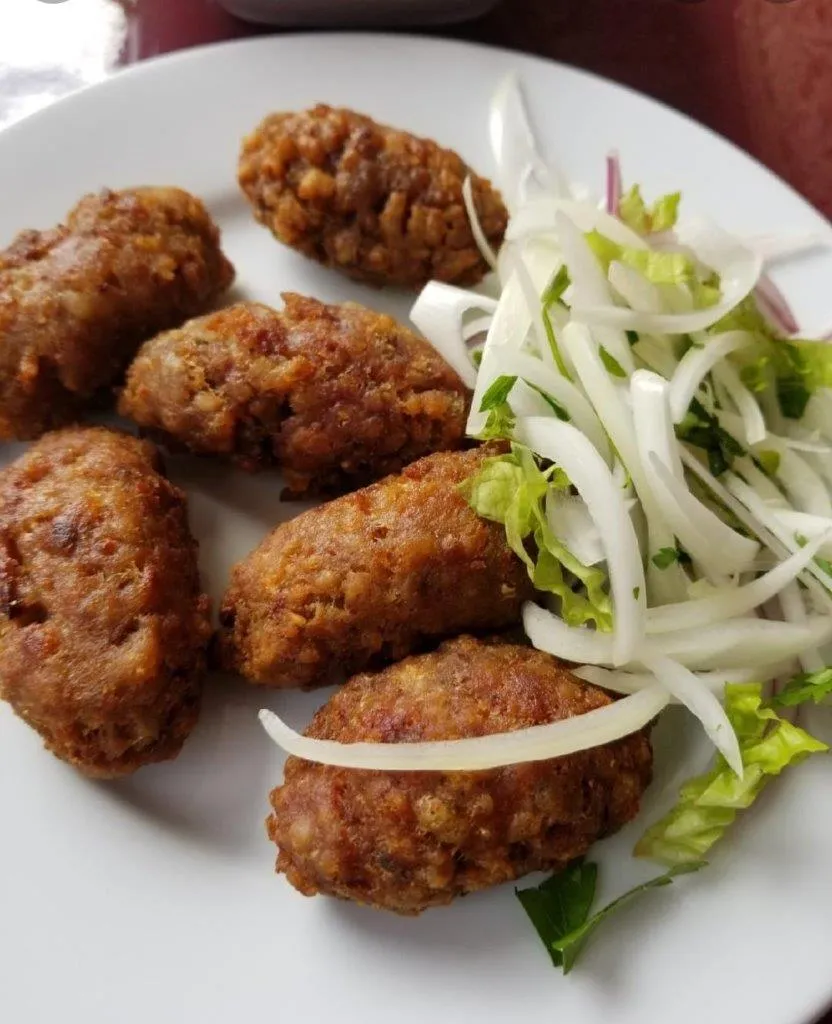
Ordu İçli Tava is a geographically indicated value of ours, unique to the Ordu region and registered by the Turkish Patent and Trademark Office on 26.07.2023 (with registration number 1427).
View Official Geographical Indication Dossier for Ordu Stuffed Pan Dish →
14. Ordu Melocan Roast (Yemekler ve çorbalar)
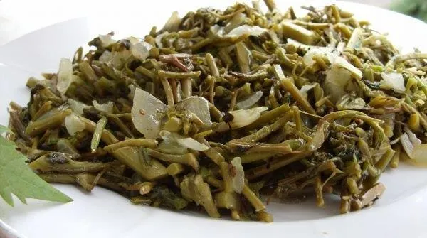
Roasted wild melocan herb with onion, butter and egg.
History: The medicinal wild herb feast of Ordu plateaus in spring.
View Official Geographical Indication Dossier for Ordu Melocan Roast →
15. Unye Izabella Grape Juice (Alkolsüz içecekler)
Ünye İzabella Grape Juice is a geographically indicated value of ours, unique to the Ordu region and registered by the Turkish Patent and Trademark Office on 27.08.2025 (with registration number 1763).
View Official Geographical Indication Dossier for Unye Izabella Grape Juice →
Top Verified Shopping & Historic Bazaars & Must-See Landmarks in Ulubey, Ordu
1. Kupkaya Canyon

Free Public Access • GPS: 40.8289, 37.7414
History and General Information / Local Legends and Folklore
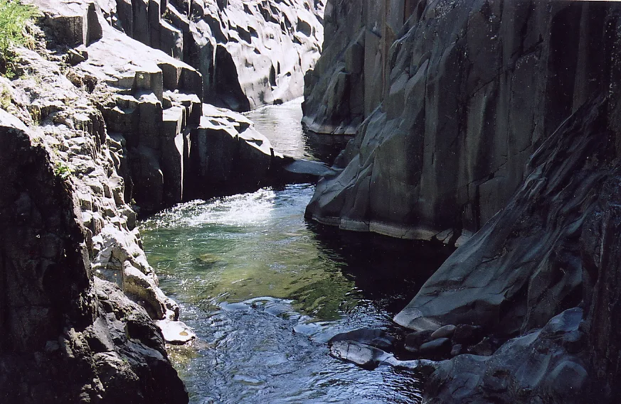
Küpkaya Canyon is one of the most impressive and geomorphologically rare canyon formations of the Black Sea Region and is located within the borders of Kardeşler Village in Ulubey district. The canyon, which was formed when Sarpdere carved a deep corridor by carving hard limestone rocks like a cube over thousands of years, took its name from the huge cube-shaped natural cavities of the rocks. It has become the subject of legends with its deep turquoise and emerald green waters and its icy coolness that does not rise above 5 degrees even in summer. According to the legend told by the local people, huge red-spotted trout and ancient water sources are hidden in the deep rock cavities at the bottom of the canyon. It is one of the most popular canoeing and canyoning centers in Turkey.
Geographical Structure, Altitude and Natural Features
It is located in a deep valley cleft surrounded by high limestone rock walls, at an altitude of approximately 320 meters above sea level. It offers a fascinating Black Sea canyon forest ecosystem with vines, centuries-old oaks and alders surrounding the canyon slopes.
Visiting Hours, Days and Entrance Fees
- Entrance Fee: The canyon area is completely free; canoe rentals and guided tours are available for a fee.
- Visiting Hours and Days (Mandatory): It can be visited freely in daylight 7 days a week.
- Rules, Safety and Stroller/Disabled Access: Since the canyon waters are extremely cold and deep, you should not enter the water without a life jacket; Since the path at the bottom of the canyon consists of slippery rocks, it is not suitable for strollers and disabled walking.
- Facilities and Facilities: Wooden canyon bridge, viewing terraces, picnic tables, canoe pier, country restaurant and WC are available.
Transportation, Public Transit Routes and Exact Location
- Address / Open Location: Kardeşler Mahallesi Kanyon Mevkii, Ulubey / Ordu.
- Road Condition and Vehicle Availability: It is 9 km from Ulubey district center and 32 km from Ordu center; All kinds of passenger vehicles can easily reach the head of the canyon via the concrete and asphalt village road.
- Real Public Transportation Information (Mandatory): Kardeşler village minibuses operate from Ulubey district center; You can go down to the canyon by walking 1 km from the village center.
- Parking Availability: There is a free parking area for 50 vehicles in front of the Canyon facilities.
Contextual Experience Tips, Photography and Local Gastronomy
- Best Photography Spots and Frames: The shots of canoeing on the turquoise canyon water filtering between two huge rock blocks and the depth of the valley from the wooden bridge are magnificent.
- Light and Shooting Hours: Noon hours (12:00 - 14:00), when the sun hits the canyon cleft vertically, are the most suitable time to capture the turquoise color of the water.
- Local Gastronomy Recommendations: You should try fresh trout in butter, Ulubey corn bread, roasted pickles and hazelnut flour halva at the countryside restaurant on the banks of the canyon.
Explore Full 5-Section Guide & Map for Kupkaya Canyon →
2. Ohtamysh Waterfall
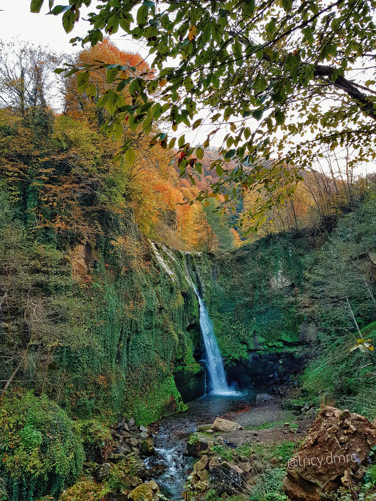
Free Public Access • GPS: 40.8104, 37.6598
History and General Information / Local Legends and Folklore
Ohtamış Waterfall is one of the highest and most magnificent waterfalls in the Eastern Black Sea Region and pours into a natural pond in a single mass from a height of approximately 30 meters and a 90-degree vertical rock wall. The waterfall, which takes its name from the historical Ohtamış Village where it is located, is one of the symbolic nature monuments of Ordu with the enormous water curtain it creates around it, the sound of the waterfall echoing in the valley and the cool water mist. According to local legend, in ancient times, dervishes and plateau nomads gathered at the top of this high mountain waterfall and prayed accompanied by the peaceful murmur of the water, and it was believed that the waterfall pond was healing.
Geographical Structure, Altitude and Natural Features
It is located at an altitude of approximately 560 meters above sea level, on the bottom of a deep valley covered with steep rocky slopes and hornbeam, beech and chestnut forests. Thanks to the high humidity and cool microclimate, it is surrounded by rich ferns and forest vines.
Visiting Hours, Days and Entrance Fees
- Entrance Fee: The natural waterfall area is completely free.
- Visiting Hours and Days (Mandatory): It can be visited freely in daylight 7 days a week.
- Rules, Safety and Stroller/Disabled Access: Entering the waterfall pond is dangerous due to slippery stones and water flow; Be careful on the wooden staircase path leading down to the waterfall, it is not wheelchair or stroller accessible.
- Facilities and Facilities: There is a wooden viewing platform, a resting pergola, picnic tables and a fountain.
Transportation, Public Transit Routes and Exact Location
- Address / Open Location: Ohtamış Mahallesi Şelale Mevkii, Ulubey / Ordu.
- Road Condition and Vehicle Availability: It is 20 km from Ulubey district center and 38 km from Ordu center; The road is completely asphalt and concrete covered and can be easily navigated by any passenger vehicle.
- Actual Public Transportation Information (Mandatory): Ohtamış minibuses depart from Ulubey district center; You can reach the waterfall with a short walk from the village center.
- Parking Availability: There is an open parking area for 25 vehicles on the side of the village road at the entrance of the waterfall.
Contextual Experience Tips, Photography and Local Gastronomy
- Best Photography Spots and Frames: The moment when the 30-meter giant waterfall falls in all its majesty from the wooden observation deck and the long exposure water flow frame gives magnificent photographs.
- Light and Shooting Hours: Waterfall rainbows can be captured between 10:00 - 13:00 in the morning, when the sun's rays hit the water spray.
- Local Gastronomy Recommendations: After the waterfall tour, you should try fresh corn bread, kale rolls, village yoghurt and hazelnut fruit pulp in Ohtamış village.
Explore Full 5-Section Guide & Map for Ohtamysh Waterfall →
3. Sayacabaşı Recreation Area and Nature Park

Free Public Access • GPS: 40.8740, 37.7591
History and General Information / Local Legends and Folklore
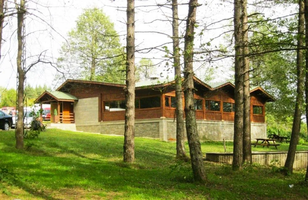
Sayacabaşı Recreation Area is the oldest and most popular in-forest recreation center of the region, embraced by centuries-old hornbeam, oak and chestnut forests at the foot of the Canik Mountains between Ordu and Ulubey. This forested valley, which takes its name from the historical "Saya" tradition where animal counts and return from the plateau festivals are held in the region, has been a traditional fairground for centuries where local people meet to cool off in the summer months, drink from ice-cold spring waters and have picnics. Today, it is a first-class nature park equipped with modern wooden camellias, children's playgrounds and walking paths.
Geographical Structure, Altitude and Natural Features
It is located on an oxygen-rich and lush mountain forest plateau, at an altitude of approximately 520 meters above sea level. The dense forest ceiling formed by alder, beech and chestnut trees provides a cool shade in the scorching heat of summer.
Visiting Hours, Days and Entrance Fees
- Entrance Fee: Entrance to the recreation area is completely free.
- Visiting Hours and Days (Mandatory): Open 7 days a week from sunrise to 23:00.
- Rules, Safety and Stroller/Disabled Access: To avoid the risk of forest fire, barbecues should only be barbecued in designated barbecue areas; The main walking axis is smooth stone covered and can be visited with baby strollers and wheelchairs.
- Facilities and Facilities: Wooden picnic pergolas, children's playground, countryside restaurant, prayer room, fountains and WC are available.
Transportation, Public Transit Routes and Exact Location
- Address / Open Location: Sayacabaşı Mevkii, Ordu-Ulubey Highway 12th km, Ulubey / Ordu.
- Road Condition and Vehicle Availability: Located on the Ordu - Ulubey - Sivas main highway; The road is completely divided, high quality hot asphalt and can be reached very comfortably by any passenger vehicle.
- Real Public Transportation Information (Mandatory): All Ulubey and Gürgentepe minibuses departing from Ordu Old Bus Terminal drop off passengers directly at the entrance gate of the recreation area.
- Parking Availability: There is a large free outdoor parking lot for 100 vehicles at the entrance and around the park.
Contextual Experience Tips, Photography and Local Gastronomy
- Best Photography Spots and Frames: Sunlight filtering through the centuries-old grand hornbeam trees and idyllic frames created by wooden forest pergolas give the most beautiful photographs.
- Light and Shooting Times: Soft light rays filtering into the forest in the morning and afternoon shadows are ideal for shooting.
- Local Gastronomy Recommendations: Freshly roasted lamb, Ulubey butter, corn bread and samovar tea should be tasted in the countryside restaurants in the recreation area.
Explore Full 5-Section Guide & Map for Sayacabaşı Recreation Area and Nature Park →
4. Tomb of Sheikh Abdullah

Free Public Access • GPS: 40.8498, 37.7091
History and General Information / Local Legends and Folklore
Sheikh Abdullah Tomb is a historical place belonging to His Holiness Sheikh Abdullah, one of the Khorasan saints, folk guides and spiritual conquerors of the Seljuk and Danishmend periods, who came to the region during the Islamization and Turkification of the Ordu and Ulubey region. The tomb of this great person, who gave his name to the village where it is located (Sheikhs Village), has been a place of pilgrimage where the people of the region have prayed, prayed and found spiritual peace for centuries. Centuries-old cypress trees and historical tombstones with Ottoman inscriptions in the tomb graveyard document the ancient spiritual roots of the region. According to local legend, Sheikh Abdullah prayed for rain on this hill during the dry summer months, and immediately after the prayer, abundant rains fell on the valley.
Geographical Structure, Altitude and Natural Features
It is located on a hilltop surrounded by tall trees overlooking the valley, at an altitude of approximately 510 meters above sea level. A quiet, serene and deep spiritual atmosphere prevails.
Visiting Hours, Days and Entrance Fees
- Entrance Fee: Visiting the tomb is completely free.
- Visiting Hours and Days (Mandatory): Open 7 days a week from sunrise to sunset.
- Rules, Security and Baby Stroller/Disabled Access: Silence must be maintained inside the tomb, candles must not be lit; The road to the tomb courtyard is smooth and can be accessed by strollers and wheelchairs.
- Facilities and Facilities: There is a tomb building, prayer area, fountain, ablution room and resting pergola.
Transportation, Public Transit Routes and Exact Location
- Address / Open Location: Şeyhler Mahallesi Türbe Mevkii, Ulubey / Ordu.
- Road Condition and Vehicle Availability: It is 5 km away from Ulubey district center; It can be easily reached by passenger vehicles via the asphalt and concrete neighborhood road.
- Real Public Transportation Information (Mandatory): Şeyhler neighborhood minibuses depart regularly from Ulubey district center.
- Parking Availability: There is an open parking area for 20 vehicles near the tomb.
Spiritual Visiting Etiquette and Commemoration Guidelines
- Spiritual Visit and Prayer Etiquette: It is recommended to recite Fatiha, Ihlas and Yasin-i Sharif at the tomb and to present it to the souls of Khorasan saints and Islamic elders.
- Documentary & Respectful Shooting: The external architecture of the tomb and the tombstones in the historical burial ground can be photographed in the respectful area.
- Important Commemoration Days: There is an intense influx of spiritual visitors from the surrounding villages on Fridays, Kandil nights and Hıdırellez period.
- Local Spiritual Tradition: It is a deep-rooted tradition that visitors are offered lokma, halva and sherbet by village residents.
Explore Full 5-Section Guide & Map for Tomb of Sheikh Abdullah →
5. Kıranya Plateau and Recreation Area
Free Public Access • GPS: 40.6441, 37.7699
History and General Information / Local Legends and Folklore
Kıranya Plateau is a plateau center built on the highest ridges of Ulubey, where deep-rooted transhumance traditions are maintained and equipped with traditional wooden tribe houses. Kıranya, where nomadic transhumants have produced milk, cheese and butter during the summer months for centuries, is one of the most popular nature escape spots in the district with its wide pastures and cool air.
Geographical Structure, Altitude and Natural Features
The plateau area, with an altitude of approximately 1,100 meters, is covered with pine and oak groves, wide meadows and cool mountain springs. Even in the summer months, a pleasant plateau climate prevails.
Visiting Hours, Days and Entrance Fees
- Entrance Fee: Entrance to the plateau area is free.
- Visiting Hours and Days: It is open to visitors all day long, 7 days a week.
- Rules, Safety and Stroller/Disabled Access: The plateau plain is extremely safe for families and children.
- Facilities and Facilities: Wooden picnic tables, spring water, shady camellias and plateau coffee are available.
Transportation, Public Transit Routes and Exact Location
- Address / Open Location: Kıranya Yaylası Mevkii, 52800 Ulubey / Ordu.
- Road Condition and Vehicle Availability: It is 14 km away from Ulubey district center; It can be reached in 20 minutes by all passenger vehicles via the asphalt and stabilized road.
- Real Public Transportation Information: Minibuses and shuttles operate from Ulubey center during the plateau season.
- Parking Availability: There is ample and free parking in the plateau square.
Contextual Experience Tips, Photography and Local Gastronomy
- Best Photo Spots and Frames: Herds of grazing cows, wooden highland houses and views of fog rising from the valleys.
- Light and Shooting Times: Early morning hours and sunset fill the plateau landscape with the warmest tones.
- Local Gastronomy Recommendations: Kıranya yayla cream, fresh corn bread and samovar tea should be tasted.
Explore Full 5-Section Guide & Map for Kıranya Plateau and Recreation Area →
6. Kardelen Waterfall and Nature Valley
Free Public Access • GPS: 40.8519, 37.8383
History and General Information / Local Legends and Folklore
Kardelen Waterfall is a natural waterfall hidden among the lush hazelnut gardens and virgin forests of Ulubey, bursting with melting snow in spring and falling from a height of approximately 18 meters. According to local legends, it is said that snowdrop flowers, the harbinger of spring, first bloom on the slopes of the waterfall in this valley and that its water is a cure for all troubles.
Geographical Structure, Altitude and Natural Features
The waterfall valley, whose altitude is approximately 640 meters, is surrounded by dense beech, hornbeam and alder forests. The water collected in the rock pool creates a cool microclimate.
Visiting Hours, Days and Entrance Fees
- Entrance Fee: Entrance to the area is completely free.
- Visiting Hours and Days: It can be visited 7 days a week in daylight.
- Rules, Safety and Stroller/Disabled Access: The valley descent path is stony and damp; Trekking shoes with non-slip soles are a must. It is not suitable for baby strollers.
- Facilities and Facilities: It is a natural protected area, there are no commercial facilities.
Transportation, Public Transit Routes and Exact Location
- Address / Open Location: Kardelen Vadisi Mevkii, 52800 Ulubey / Ordu.
- Road Condition and Vehicle Availability: It is 9 km away from Ulubey district center; At the end of the asphalt road, you can walk a 250-meter forest path.
- Real Public Transportation Information: You can reach the trail head by village minibuses from Ulubey center.
- Parking Availability: There are safe parking pockets on the roadside.
Contextual Experience Tips, Photography and Local Gastronomy
- Best Photo Spots and Frames: White foam and mossy rocks created by the waterfall water in the stone pool.
- Light and Shooting Hours: Sun rays filtering into the valley in the morning hours.
- Local Gastronomy Recommendations: Ulubey style roasted galdirik and corn bread are recommended after the walk.
Explore Full 5-Section Guide & Map for Kardelen Waterfall and Nature Valley →
Practical Travel & Transit Planning for Ulubey, Ordu (2026)
| Planning Category | Verified Local Information |
|---|---|
| Region & Administrative Center | Ulubey, Ordu, Türkiye |
| Best Time to Visit | Spring (April–June) and Autumn (September–November) for ideal sightseeing weather; Summer for highlands and coastal routes. |
| Public Transit & Highway Access | Regular municipal buses and local minibus cooperatives (Dolmuş) depart daily from the Ordu Intercity Bus Terminal (Otogar) directly to Ulubey. |
| Recommended Stay | 1 to 2 full days to explore the main historical landmarks, nature trails, and local culinary stops. |
Frequently Asked Questions About Visiting Ulubey, Ordu
What are the must-see places to visit in Ulubey, Ordu?
The top verified attractions in Ulubey, Ordu include Kupkaya Canyon, Ohtamysh Waterfall, Sayacabaşı Recreation Area and Nature Park, Tomb of Sheikh Abdullah, Kıranya Plateau and Recreation Area. Each location offers documented historical or natural heritage with clear road access.
How can I get to Ulubey, Ordu by public transport or car?
You can reach Ulubey, Ordu easily by car via Ordu's main provincial highways, or take regular municipal buses and district minibuses departing throughout the day from the Ordu central bus terminal (Otogar).
What are the famous local dishes and traditional foods to try in Ulubey, Ordu?
When visiting Ulubey, Ordu and Ordu, be sure to taste officially registered specialties such as Kabataş Halva, Ordu Yayla Beet Pickle / Ordu Dürüm Pickle, Ordu Hazelnut Burma Dessert, Ordu Clumsy Nail, Ordu Thursday Walnut Halva, prepared by local artisans and traditional restaurants.
Are the attractions in Ulubey, Ordu suitable for families and day trips?
Yes. Most historic monuments, parks, museums, and promenade areas in Ulubey, Ordu are family-friendly and well-suited for both weekend getaways and full-day cultural itineraries.
When is the best season to visit Ulubey, Ordu?
Spring and autumn offer the most comfortable temperatures for walking tours and photography in Ulubey, Ordu, while summer is popular for nature recreation, plateaus, and festivals.