# Atlas of Turkey's Canyons, Crater Lakes, Caves and Geosites: Guide to Geotourism, Depths of the Earth and Natural Wonders
!Turkey's Atlas of Canyons, Crater Lakes and Geosites
In the hundreds of millions of years of geological adventure of planet Earth, Anatolia; It is a unique earth laboratory that rises from the floor of the Tethys Ocean, curves with the collision of continents, turns into lava plateaus with volcanic eruptions, and reaches underground paradises with karst melts. Geological topography of Türkiye; Far from being an ordinary natural view, it is an open-air classroom that reveals the power and patient art of the earth's crust.
From Valla Canyon, the second deepest canyon in the world, rising to the sky with its wild walls in the heart of Küre Mountains National Park, to Uşak Ulubey Canyon, which is considered the second longest canyon in the world after the Grand Canyon in the USA; From the huge steaming Nemrut Caldera at 2,250 meters in Bitlis Tatvan to Türkiye's first and only UNESCO-registered Kula-Salihli Global Geopark in Manisa Kula, these lands are the global capital of geotourism (geological tourism). The onion stalactites of Tokat Ballıca Cave, hundreds of meters underground, and the stalactite columns of Gümüşhane Karaca Cave, formed over millions of years, invite their visitors to a science fiction movie.
My Homeland, compiling all registered canyons, crater and caldera lakes, stalactite caves, lava columns and geosites in 81 provinces of Türkiye with scientific data and field safety warnings "Geotourism and Natural Wonders He published his Atlas"
1. What is Geotourism? The Art of Reading the Memory of the Place
Geotourism; It is a sustainable branch of eco-tourism that aims to explore the earth's geological heritage, rock formations, fossil beds, cave and volcano systems, with scientific curiosity and aesthetic admiration, without harming the environment:
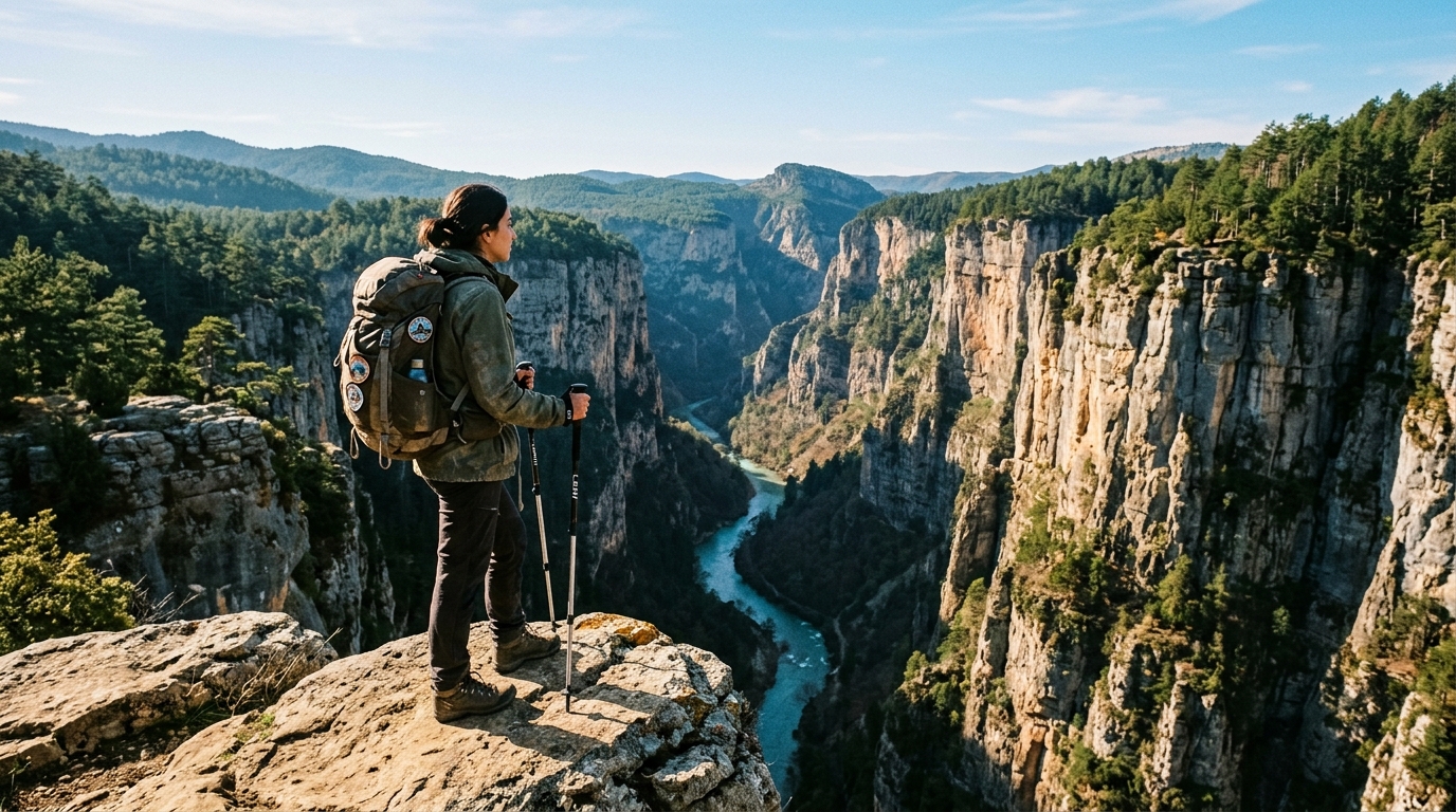
Hundreds of meters of vertical limestone walls; Valla, Horma, Ulubey, Karanlık Kanyon and Saklıkent.
Volcano cones collapsed by explosion; Nemrut Crater Lake, Meke Maar Lake and Isparta Gölcük.
Stalactites and stalagmites formed by the melting of limestone; Ballıca, Karaca, Damlataş and Dupnisa.
Lava flows, cinder cones and basalt columns, which ancient Strabo called the "Burned Land" (Katakekaumene).
2. Turkey's Most Magnificent Geological Wonders, Region by Region
Turkey's geological monuments offer a unique visual feast in every region:
Western Black Sea Land of Canyons: Kastamonu and Küre Mountains
- Valla Canyon (Kastamonu Pınarbaşı): One of the wildest canyons in the world with a vertical depth of 1,200 meters, formed by the Devrekani Stream splitting the Küre Mountains. It can only be crossed by professional canyoning teams with a guide; The view from the viewing terrace is breathtaking.
- Horma Canyon: A marvel of nature hiking, reaching Ilıca Waterfall by passing through the canyon with a 3-kilometer wooden walking platform hanging on the rocks.
- Çatak Canyon (Azdavay): A geomorphological monument that reveals the infinite depth of the canyon with its glass viewing terrace at a height of 900 meters.
Aegean and Inner Aegean: Kula Geopark and Ulubey Canyon
- Kula-Salihli UNESCO Global Geopark (Manisa): Türkiye's first UNESCO geopark. More than 80 volcano cones, jet black lava fields, fairy chimneys and natural history walking trails.
- Ulubey Canyon (Uşak): A huge geological site stretching for 77 kilometers in the basin where Banaz and Dokuzsele streams meet, with historical stone mills on the canyon floor. slit.
Mediterranean Zone: Taurus Canyons and Karst Sinkholes
- Köprülü Canyon & Tazı Canyon (Antalya Manavgat): Köprülü Canyon, the favorite of rafting enthusiasts, and the magnificent Tazı Canyon, flocked by photographers with its 400-meter cliff.
- Saklıkent Canyon (Muğla-Antalya Border): An 18-kilometer narrow canyon cleft formed by the limestone carving of the Eşen Stream, where you can cool off by walking in its icy waters in the summer heat.
- Karain and Damlataş Caves (Antalya): Karain, which witnesses 500,000 years of human settlement, and Damlataş, which heals asthma patients with its microclimate air.
East and Black Sea: Miracles of Calderas and Dripstones
- Nemrut Caldera (Bitlis Tatvan): Hot Lake, Warm Lake and Cold Lake located in the huge crater that collapsed with a volcano explosion at an altitude of 2,250 meters. European Distinguished Tourism Paradise (EDEN) award-winning nature monument.
- Ballıca Cave (Tokat Pazar): A living underground palace, where all the cave formations in the world are gathered in one place, and is on the UNESCO World Heritage Temporary List with its rare "Onion Stalactites".
- Karaca Cave (Gümüşhane Torul): A world-scale masterpiece of dripstone formations with dripstone columns, travertine pools and flag stalactites.
3. Vital Safety Rules in Geotourism and Canyon Passing
Vital rules to follow to respect the power of nature and make canyon/cave travels safe:
Even if it's sunny inside the canyon, a sudden downpour high in the mountains can turn the canyon into a deadly flood trap within minutes. You should never enter the canyon on rainy days.
Stones may fall from the canyon walls due to the wind or the movement of wild goats. A helmet should be worn and non-slip neoprene canyon shoes should be used on wet rocks.
Even if it is 35 degrees outside, the inside of the caves is usually 10-14 degrees and 90% humidity. Be sure to take a fleece or windbreaker with you when entering the cave.
Touching cave stalactites stops calcium carbonate crystallization and darkens the stalactite. It should never be touched and volcanic basalt stones should not be removed.
4. What Can You Do with My Homeland Geosite and Nature Radar?
My Homeland enables nature explorers to plan their routes with scientific safety:
- District Based Canyon and Cave Map: You can see canyon entrances, viewing terraces and cave car parks in 973 districts of Türkiye with exact GPS coordinates.
- Caravan and Camping Areas: You can find registered camping spots around the canyon and crater lake with 81 Provincial Caravan and Tent Camping Directory.
- Authentic Plateau and Village Stops: You can discover the wooden guesthouses on the canyon routes with Authentic Village and Plateau Life Guide.
- Slow Cities Integration: You can plan quiet stops such as Kula Geopark or Şavşat Karagöl via Slow Cities Atlas.
- Women's Cooperatives: You can visit the local stalls of village women at the exit of the canyon with Atlas of Women's Cooperatives.
5. Frequently Asked Questions (FAQ)
No. Valla Canyon is one of the wildest canyons in the world; Passage is only possible with professional teams. Muratbaşı Observation Tower offers a safe and unique view for visitors.
Tents can be set up in designated camping areas and swimming can be done in the coastal shallows; However, caution should be taken against the steeply deepening volcanic floor of the crater.
No. Manisa Kula Geopark hiking trails and Divlit Volcano Cone are an open-air geology museum that is completely open and free to the public.
Alanya Damlataş and Tokat Ballıca Caves; It is visited by asthma patients for healing purposes with its high humidity, dust-free clean air and constant temperature.
Complete lists of canyon water flow warnings, glass observation deck coordinates, cave temperatures and wooden walking track suitability.