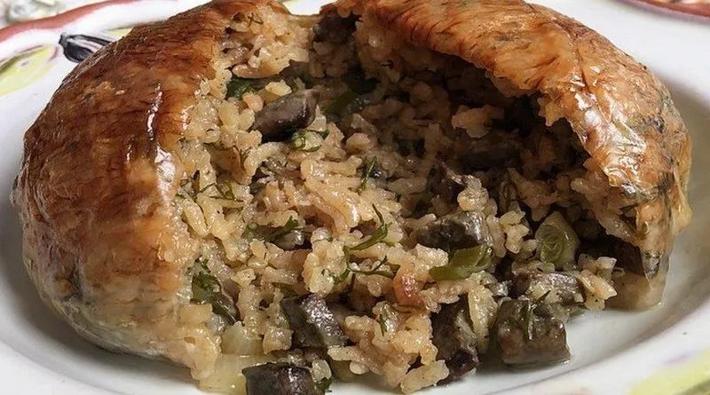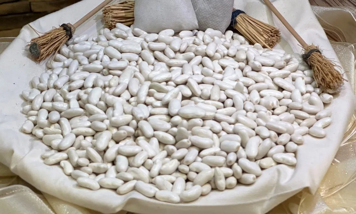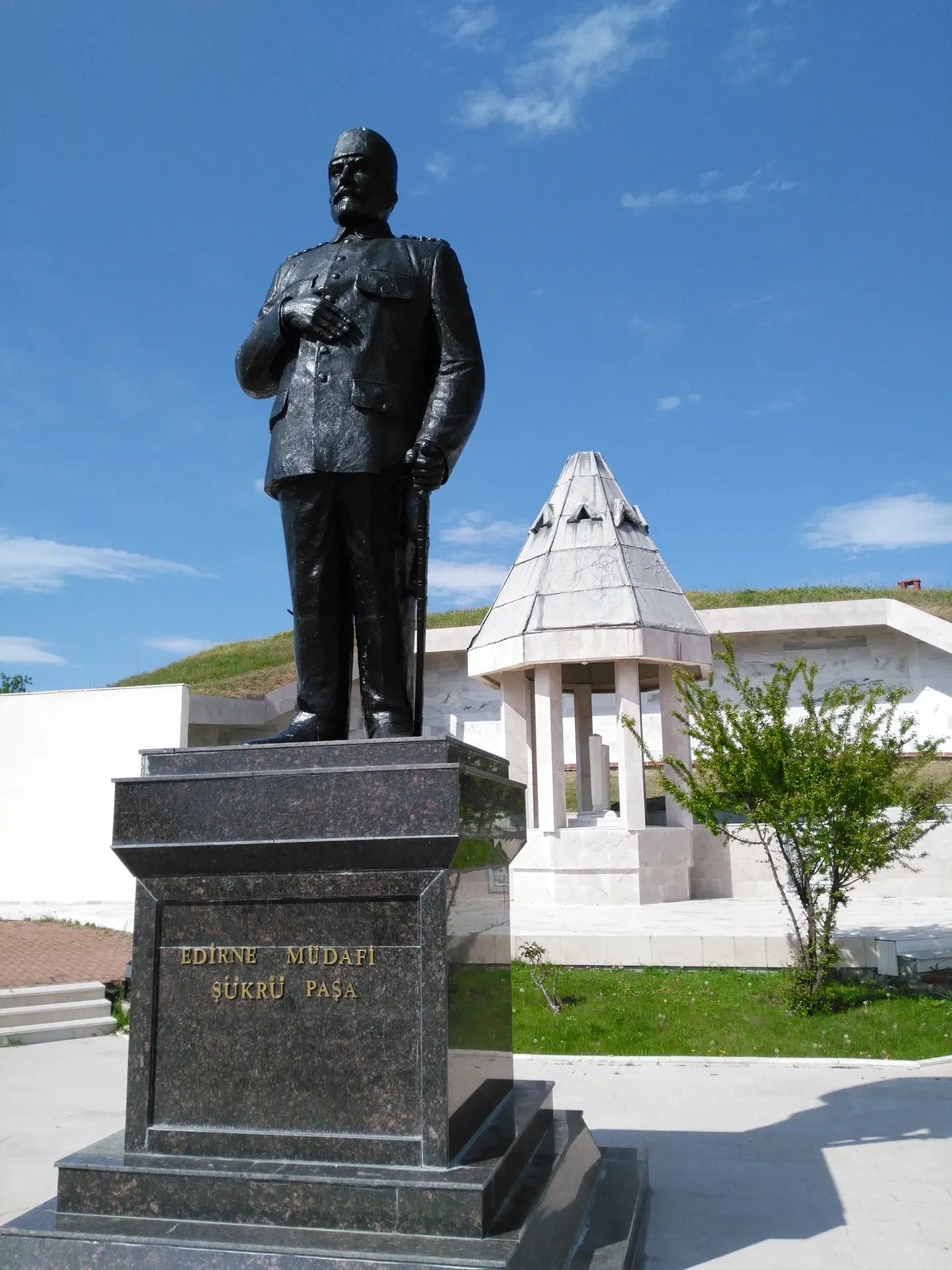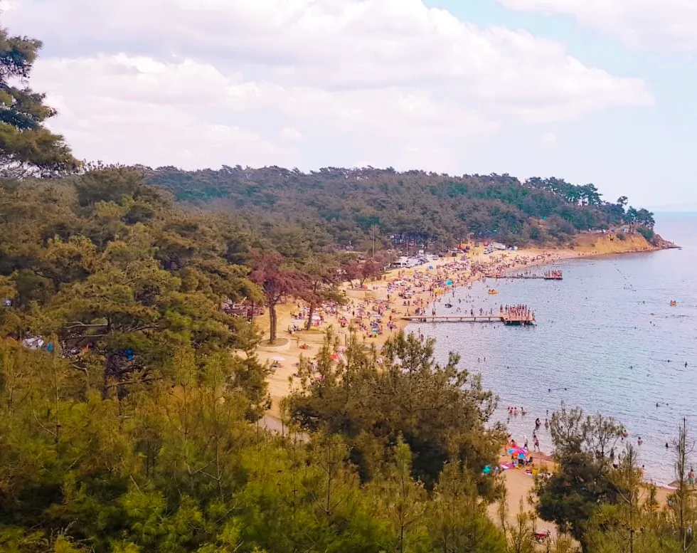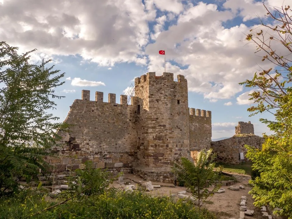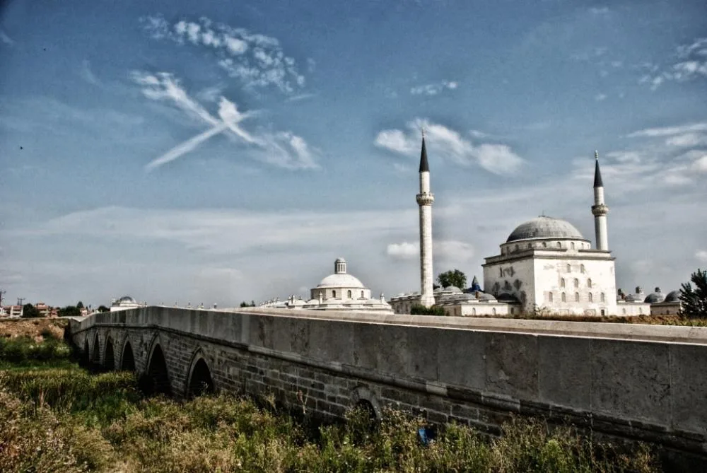

Planning a journey to Süloğlu, Edirne? This comprehensive 2026 History & Culture guide brings together 10 verified landmarks, natural wonders, and cultural heritage sites with official visiting hours, GPS coordinates, public transit connections, and local gastronomy recommendations.
Quick Highlights & Discovery Route in Süloğlu, Edirne
- Geçkinli Martyrdom & Monument
- Keramettin Dolmen & Tumulus
- Historical Süloğlu Çarşı Mosque
- Yağcılı Village Pond & Grove
- Süloğlu Pine Grove & Recreational Area
- Süloğlu City Square & Park
- Çeribaşı Cherry
- Uzunköprü Meatballs
Historical Landmarks, Architecture & Cultural Heritage in Süloğlu, Edirne
Süloğlu, Edirne (Edirne) preserves a multi-layered historical fabric shaped by centuries of Anatolian civilizations, including Roman, Byzantine, Seljuk, and Ottoman eras. Historic castles, stone bridges, caravanserais, civil mansions, and monumental structures reflect the strategic and cultural importance of Süloğlu, Edirne.
Walking through the historic quarters of Süloğlu, Edirne allows visitors to observe traditional masonry, timber-framed architecture, and restored heritage buildings up close.
- Architectural Details: Pay attention to carved stone portals, historic fountains, courtyard mansions, and defensive bastions across Süloğlu, Edirne.
- Best Visiting Hours: Early morning and late afternoon golden light offer the best conditions for architectural photography and crowd-free exploration.
- Cultural Etiquette & Preservation: Respect restoration zones and signage at registered historical monuments in Süloğlu, Edirne.
Top Verified History & Culture & Must-See Landmarks in Süloğlu, Edirne
1. Geçkinli Martyrdom & Monument
Free Public Access • GPS: 41.7594, 26.8591
History and General Information / Local Legends and Folklore
Geçkinli Martyrdom and Monument is a sacred place of the homeland, the eternal resting place of hundreds of Turkish soldiers and officers who heroically martyred for the sake of the country in the Battle of Geçkinli during the defense of Edirne in the 1912-1913 Balkan War.
Geographical Structure, Altitude and Natural Features
It is located on the hill of Geçkinli Village, at an altitude of 140 meters.
Visiting Hours, Days and Entrance Fees
- Entrance Fee: Free.
- Visiting Hours: Open to visitors 24 hours a day.
- Facilities: There are memorial inscriptions, martyrs' cemetery, memorial square and rest benches.
Transportation, Public Transit Routes and Exact Location
- Address: Geçkinli Village Şehitlik Hill, Süloğlu / Edirne.
- Address / Open Location: Geçkinli Martyrdom & Memorial Mevkii, Süloğlu, Edirne, Turkey
- Road Condition: It is 8 km from the center of Süloğlu and 18 km from the center of Edirne; It can be reached by asphalt highway.
- Public Transportation: It can be reached by Geçkinli village minibuses.
- Parking: There is a car park next to the Martyrs' Cemetery.
Spiritual Visiting Etiquette and Commemoration Guidelines
- Martyrdom Loyalty: The Fatiha should be recited to the souls of the martyrs of the Balkan War, and the heroic epic on their monumental inscriptions should be examined with awe.
Explore Full 5-Section Guide & Map for Geçkinli Martyrdom & Monument →
2. Keramettin Dolmen & Tumulus
Free Public Access • GPS: 41.7869, 26.9764
History and General Information / Local Legends and Folklore
Keramettin Dolmen and Tumulus, located within the borders of Keramettin Village in Süloğlu district, is a megalithic monumental king tomb site belonging to the ancient Thracian tribes who ruled in Eastern Thrace in the Early Iron Age (1200 - 800 BC). The dolmen, which was built by bringing unhewn monolith stone blocks weighing huge tons together and covering them with a huge single piece of capstone, was protected by the earthen tumulus cover piled on top of it. This mausoleum, which is the most concrete document of the rituals of immortality and return to nature in the Thracian belief, has preserved its majesty under the Balkan winds for centuries. Local people say that ancient heroes were buried under the dolmen with their swords and horses.
Geographical Structure, Altitude and Natural Features
It is located on a slightly rugged plateau to the south of Keramettin Village. Its height above sea level is 165 meters. It is surrounded by oak forests, daisy fields and wild thyme bushes.
Visiting Hours, Days and Entrance Fees
- Entrance Fee: It is an open-air protected area and entrance is completely free.
- Visiting Hours and Days (Mandatory): It is open to visitors 7 days a week during daylight hours (08:30 - 18:30).
- Rules, Safety and Stroller/Disabled Access: It is a 1st Degree Archaeological Site; It is strictly forbidden to damage the stones and the tumulus structure. The terrain is flat and can be approached with a stroller.
- Facilities and Facilities: Information signage is available; There are no commercial facilities.
Transportation, Public Transit Routes and Exact Location
- Address / Open Location: Keramettin Köyü Mevkii, 22520 Süloğlu / Edirne.
- Road Condition and Vehicle Availability: It is 8 km from Süloğlu district center and 38 km from Edirne center; After the asphalt village road, it is reached through a 300-meter field road; Suitable for passenger vehicles.
- Actual Public Transportation Information (Mandatory): It can be reached by village shuttles departing from Süloğlu center or by private vehicle.
- Parking Availability: There is open parking space for 15 vehicles on the roadside.
Contextual Experience Tips, Photography and Local Gastronomy
- Megalith Cover Stone Frame: The 3 thousand year old monolithic stone cover and dromos entrance gate should be photographed.
- Archaeological Information: The place of Thracian dolmens in the world megalith culture should be examined from the information sign.
- Local Gastronomy Recommendations: Local Thracian kashar and fresh roasted lamb should be tasted in Süloğlu centre.
Explore Full 5-Section Guide & Map for Keramettin Dolmen & Tumulus →
3. Historical Süloğlu Çarşı Mosque
Free Public Access • GPS: 41.7690, 26.9099
History and General Information / Local Legends and Folklore
Historical Bazaar Mosque, the spiritual heart of Süloğlu district center, is the main temple where the district's people have worshiped since the Ottoman period. It reflects the elegance of Thracian town mosques with its cut limestone walls, wooden frame ceiling workmanship and peaceful courtyard surrounded by centuries-old grand plane trees. According to local narratives, the mosque keeps alive the memory of the veteran dervishes who settled in the region since the time of Suleiman Shah; It is the meeting place of farmers from surrounding villages on Fridays.
Geographical Structure, Altitude and Natural Features
It is located in the Çarşı Square, in the district center of Süloğlu. Its height above sea level is 135 meters. The large stone courtyard is covered with plane trees and linden trees and offers a cool shade in the summer heat.
Visiting Hours, Days and Entrance Fees
- Entrance Fee: Entrance to the mosque is completely free.
- Visiting Hours and Days (Mandatory): Open 7 days a week from morning adhan to night prayer.
- Rules, Safety and Baby Stroller/Disabled Access: Dress code appropriate to mosque etiquette is mandatory. The courtyard is flat and suitable for wheelchairs and strollers.
- Facilities and Facilities: Ablution room, fountain, rest benches and WC are available.
Transportation, Public Transit Routes and Exact Location
- Address / Open Location: Merkez Mahallesi, Edirne Caddesi, 22520 Süloğlu / Edirne.
- Road Condition and Vehicle Availability: It is 32 km away from Edirne city center; It can be easily reached in 25 minutes by double asphalt road.
- Real Public Transportation Information (Mandatory): Süloğlu minibuses depart from Edirne Bus Terminal every hour and drop them off at the square in front of the mosque.
- Parking Availability: There are 35 open parking spaces around the square.
Contextual Experience Tips, Photography and Local Gastronomy
- Courtyard Plane Trees: You should rest in the cool shade under the centuries-old plane trees of the mosque and listen to the adhan.
- Wood Workmanship: The wooden ceiling core and the wooden sermon pulpit in the harim should be examined.
- Local Gastronomy Recommendations: You should try the warm Süloğlu bun and freshly brewed tea from the bazaar bakeries.
Explore Full 5-Section Guide & Map for Historical Süloğlu Çarşı Mosque →
4. Yağcılı Village Pond & Grove
Free Public Access • GPS: 41.7841, 26.8284
History and General Information / Local Legends and Folklore
The pond and oak grove located in the rural area of Yağcılı Village in Süloğlu district is a tranquil natural wonder that gives life to the agriculture of the region. The name Yağcılı is a legacy of the historical olive oil and sunflower oil production mills in the village. The calm waters of the pond, combined with the surrounding oak grove, provide a quiet breathing corner for those who want to be alone with nature.
Geographical Structure, Altitude and Natural Features
It is located in the valley of Yağcılı Village. Its height above sea level is 160 meters. It is surrounded by oak trees, acacias and large fields of wheat; It has a clean and airy steppe-forest climate.
Visiting Hours, Days and Entrance Fees
- Entrance Fee: Entrance to the pond area is completely free.
- Visiting Hours and Days (Mandatory): Open 7 days a week during daylight hours.
- Rules, Safety and Stroller/Disabled Access: Entering the pond is dangerous and prohibited. Uncontrolled fire should not be lit. Flat areas are suitable for strollers.
- Facilities and Facilities: Natural recreation areas and spring fountains are available.
Transportation, Public Transit Routes and Exact Location
- Address / Open Location: Yağcılı Köyü Mevkii, 22520 Süloğlu / Edirne.
- Road Condition and Vehicle Availability: It is 6 km away from Süloğlu district center; It can be easily reached via the asphalt village road.
- Real Public Transportation Information (Mandatory): Transportation is provided by village minibuses departing from Süloğlu center.
- Parking Availability: There are 20 open parking spaces around the pond.
Contextual Experience Tips, Photography and Local Gastronomy
- Angling: Carp can be caught in the pond by amateur anglers.
- Grove Recreation: It is relaxing to listen to nature quietly under the oak trees and drink samovar tea.
- Local Gastronomy Recommendations: Fresh village bread and white sheep cheese from Yağcılı Village should be tasted.
Explore Full 5-Section Guide & Map for Yağcılı Village Pond & Grove →
5. Süloğlu Pine Grove & Recreational Area
Free Public Access • GPS: 41.8069, 26.8976
History and General Information / Local Legends and Folklore
Located on the slopes right next to Süloğlu Dam Lake, Süloğlu Çamlığı Recreation Area is the largest green recreation center in the district. With the construction of the Süloğlu Dam, thousands of red pine and larch trees were planted to prevent soil erosion and provide a recreation area for the city, and over time, they turned into a huge forest. The recreation area, which brings together the deep blue waters of the dam lake and the green of the pine forests, is a favorite of picnickers coming from Edirne and surrounding districts.
Geographical Structure, Altitude and Natural Features
It is located on the slopes of the dam lake, 2 km away from Süloğlu district center. Its height above sea level is 150 meters. The resin scent of the pine trees and the cool breezes blowing from the dam lake create a refreshing plateau atmosphere.
Visiting Hours, Days and Entrance Fees
- Entrance Fee: Entrance to the recreation area is completely free.
- Visiting Hours and Days (Mandatory): Open 7 days a week between 08:00 - 22:00.
- Rules, Safety and Stroller/Disabled Access: Fires may only be lit in pergolas with designated stoves; It is forbidden to enter the lake. The parquet stone walkways are suitable for baby strollers and disabled chairs.
- Facilities and Facilities: There are wooden camellias, barbecue areas, children's playgrounds, country cafeteria, fountain and men's and women's WC.
Transportation, Public Transit Routes and Exact Location
- Address / Open Location: Baraj Yolu Mevkii, Çamlık Alanya, 22520 Süloğlu / Edirne.
- Road Condition and Vehicle Availability: It can be reached by a 2-minute asphalt road from Süloğlu center; Suitable for all passenger vehicles.
- Actual Public Transportation Information (Mandatory): It can be reached from Süloğlu district center in 15 minutes on foot or by taxi.
- Parking Availability: There is an open parking lot for 70 vehicles at the entrance of the recreation area.
Contextual Experience Tips, Photography and Local Gastronomy
- View of the Dam Lake: Water reflections of camellias and pine trees on the dam lake should be photographed.
- Family Picnic in the Countryside: You should have a picnic in the countryside under the scent of pine trees, accompanied by samovar tea.
- Local Gastronomy Recommendations: Freshly squeezed and local ayran should be tasted at the facility cafe.
Explore Full 5-Section Guide & Map for Süloğlu Pine Grove & Recreational Area →
6. Süloğlu City Square & Park
Free Public Access • GPS: 41.7674, 26.9086
History and General Information / Local Legends and Folklore
Süloğlu City Square and Park is the central meeting square of Süloğlu, the city of agriculture and animal husbandry, with its Atatürk monument, ornamental pools, plane trees, tea gardens and bakeries.
Geographical Structure, Altitude and Natural Features
It is located in the center of Süloğlu, at an altitude of 145 meters.
Visiting Hours, Days and Entrance Fees
- Entrance Fee: Free.
- Visiting Hours: Open 24 hours.
- Facilities: There are tea gardens, restaurants, children's playground and rest benches.
Transportation, Public Transit Routes and Exact Location
- Address: Cumhuriyet Caddesi, Süloğlu District Center / Edirne.
- Address / Open Location: Süloğlu City Square & Park Mevkii, Süloğlu, Edirne, Turkey
- Road Condition: Edirne-Süloğlu highway opens to the square.
- Public Transportation: Süloğlu shuttles departing from Edirne Bus Terminal stop at the square.
- Parking: There is parking around the square.
Contextual Experience Tips, Photography and Local Gastronomy
- Local Gastronomy Recommendations: Süloğlu lamb stew, fresh Thracian kashar cheese, sheep yoghurt and oak honey should definitely be tasted.
Explore Full 5-Section Guide & Map for Süloğlu City Square & Park →
7. Süloğlu Dam Lake & Park
Free Public Access • GPS: 41.8219, 26.9362
History and General Information / Local Legends and Folklore
Süloğlu Dam Lake, built for the irrigation of Edirne and the surrounding plains and for drinking water needs, is surrounded by pine and oak forests, is the largest nature and recreation center of the district with its wide water mirror, walking track, picnic areas and rich freshwater fish population.
Geographical Structure, Altitude and Natural Features
It is a freshwater dam lake within the forest, at an altitude of 150 meters.
Visiting Hours, Days and Entrance Fees
- Entrance Fee: Free.
- Visiting Hours: Open 24 hours.
- Facilities: There are picnic tables, walking paths, observation terrace and outdoor parking.
Transportation, Public Transit Routes and Exact Location
- Full Address: Baraj Mevkii Yeni Mahalle, Süloğlu / Edirne.
- Address / Open Location: Süloğlu Dam Lake & Park Mevkii, Süloğlu, Edirne, Turkey
- Road Condition: It is 3 km away from Süloğlu district center; It is easily reached by asphalt road.
- Public Transportation: It can be reached by district shuttles or private vehicles.
- Parking: There is ample parking in the dam body and facility area.
Contextual Experience Tips, Photography and Local Gastronomy
- Landscape and Walking: Walking through pine forests, watching waterfowl on the lake and amateur angling.
Explore Full 5-Section Guide & Map for Süloğlu Dam Lake & Park →
8. Karaağaç Historical Station & Lausanne Monument

Free Public Access • GPS: 41.6522, 26.5219
History and General Information / Local Legends and Folklore
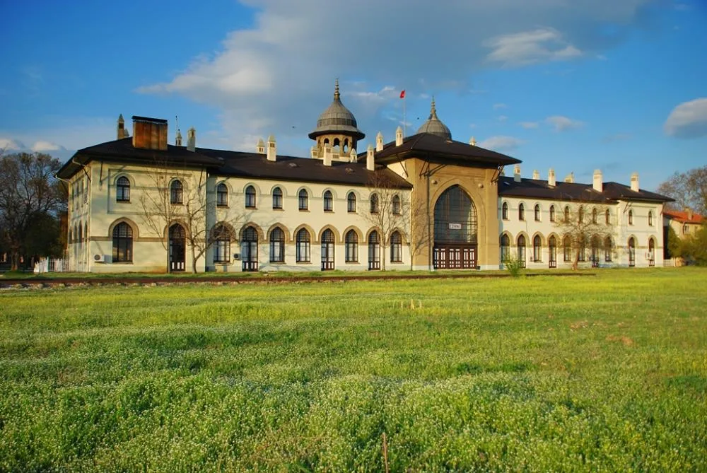
Karaağaç Historical Train Station, built with cut stone and brickwork by Architect Kemalettin in the style of the First National Architectural Movement, is the main station of the Eastern Railways (Orient Express), and is the city's most popular culture and art campus with its giant Lausanne Peace Monument, Museum and nostalgic steam locomotive in Karaağaç, which was given back to Turkey as war compensation with the Lausanne Peace Treaty.
Geographical Structure, Altitude and Natural Features
It is located in the Karaağaç district, at an altitude of 35 meters, among centuries-old plane trees and green parks.
Visiting Hours, Days and Entrance Fees
- Entrance Fee: The station garden and the monument are free; The museum is open to visitors.
- Visiting Hours: It can be visited 7 days a week between 09:00 - 18:00.
- Facilities: Trakya University Faculty of Fine Arts galleries, Lausanne Museum, cafe, nostalgic train and parking lot.
Transportation, Public Transit Routes and Exact Location
- Full Address: Karaağaç Mahallesi Lozan Caddesi, Merkez / Edirne.
- Address / Open Location: Karaağaç Historical Station & Lausanne Monument Location, Center, Edirne, Turkey
- Road Condition: It is 4 km away via Karaağaç, passing the Meriç Bridge; It can be reached by bicycle and vehicle.
- Public Transportation: Karaağaç minibuses departing from the center arrive at the station gate.
- Parking: There is ample parking in the station garden.
Contextual Experience Tips, Photography and Local Gastronomy
- Bicycle and Cafe: Ride a rental bike from Edirne center to Karaağaç via the Meriç Bridge, photograph the historical railway station and drink coffee in the cafes under the plane tree.
Explore Full 5-Section Guide & Map for Karaağaç Historical Station & Lausanne Monument →
9. Kurtbey Grave Monument & Plane Trees

Free Public Access • GPS: 41.5503, 26.8215
History and General Information / Local Legends and Folklore
Kurtbey Grave Monument and Centuries-Old Plane Trees is a historical place of visit and loyalty, containing the tomb of the famous Ottoman raider lord Kurt Bey, who showed great benefits in the conquest of Rumelia in the 14th century, and the centuries-old registered monumental plane trees around it.
Geographical Structure, Altitude and Natural Features
It is located at an altitude of 75 meters, under shady monumental trees.
Visiting Hours, Days and Entrance Fees
- Entrance Fee: Free.
- Visiting Hours: Open to visitors 24 hours a day.
- Facility Status: It is a registered mausoleum and green recreation area.
Transportation, Public Transit Routes and Exact Location
- Full Address: Fatih Street, Hacıisa District, Havsa / Edirne.
- Address / Open Location: Kurtbey Grave Monument & Çınarları Mevkii, Havsa, Edirne, Turkey
- Road Condition: It is opposite the Sokollu Social Complex.
- Public Transportation: You can reach Havsa center by minibuses.
- Parking: There is car parking on the roadside.
Spiritual Visiting Etiquette and Commemoration Guidelines
- Commemoration and Prayer: The Fatiha should be recited for the soul of Kurt Bey, the conqueror of Rumelia, and one should rest under the shadow of the centuries-old plane trees.
Explore Full 5-Section Guide & Map for Kurtbey Grave Monument & Plane Trees →
10. Historical Rüstem Pasha Caravanserai (Architect Sinan Masterpiece)

Free Public Access • GPS: 41.6753, 26.5559
History and General Information / Local Legends and Folklore
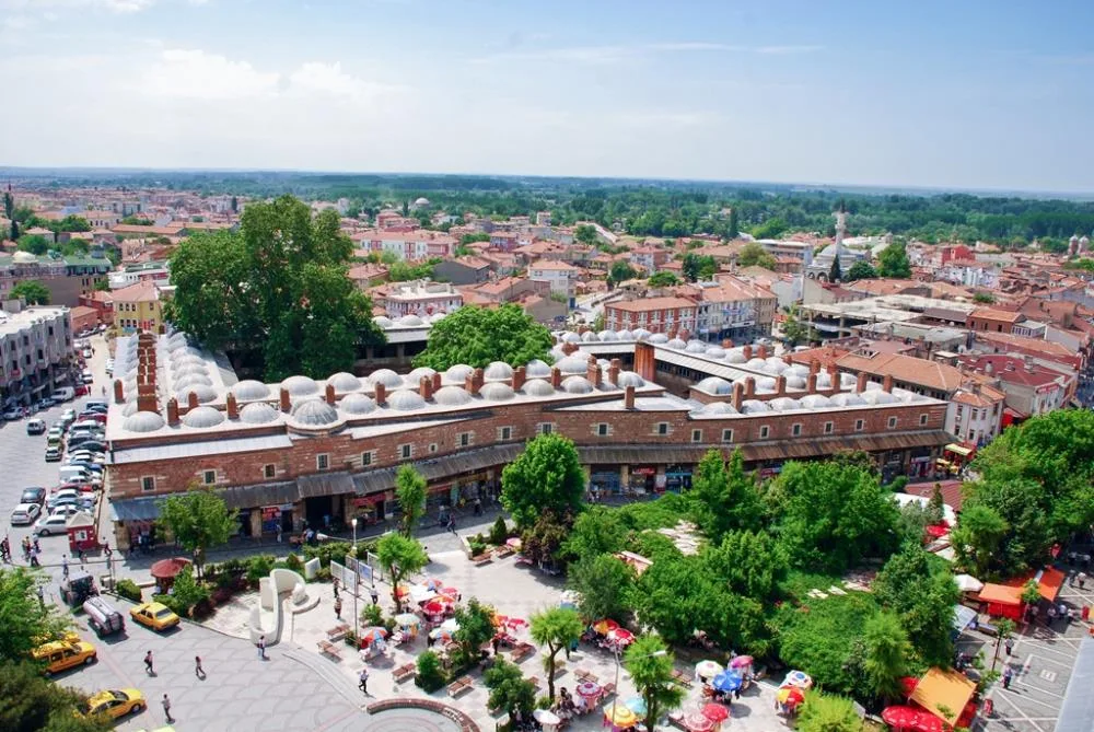
The historical Rüstem Pasha Caravanserai is one of the masterpieces of Ottoman commercial and commercial architecture, built by Mimar Sinan in 1554 by Rüstem Pasha, the famous grand vizier and son-in-law of Suleiman the Magnificent. Founded in the commercial heart of Edirne, located on the Silk Road and Rumelia caravan route, the caravanserai has hosted merchants, ambassadors and caravans traveling between east and west for centuries. It was deemed worthy of the Aga Khan Award for Architecture with its exemplary restoration completed in 1980.
Architectural / Natural Structure and Details
The building consists of two main courtyard sections: "Big Caravanserai" and "Small Caravanserai". In the two-storey caravanserai, built with cut stone and brick alternating technique; There are cloistered courtyards, 102 accommodation rooms, camel and horse stables and shops facing the exterior. Its pointed brick arches, massive external walls and monumental entrance crown reflecting Mimar Sinan's genius in proportion are among the most magnificent examples of Ottoman inn architecture.
Spiritual Visiting Etiquette and Commemoration Guidelines
Revealing Mimar Sinan's unique mastery in civil architecture, the caravanserai now functions as a boutique hotel and cultural center. Visitors stepping into the courtyard breathe in the nostalgic atmosphere of caravan bells echoing among the centuries-old stone porticoes and experience the Ottoman lodge accommodation culture at the historical well.
Practical Visiting Tips & Transportation / Check-in
It is located on İki Kapılı Han Street in Sabuni District, in the city center of Edirne. It is a 2-minute walk from Selimiye Mosque and Old Mosque. The courtyard and common historical areas are open to visitors throughout the day; entrance is free. Relaxing under the historical stone arches in the cafeteria in the caravanserai courtyard and examining the Edirne broom souvenirs offers a pleasant break.
Surrounding Routes & Local Gastronomy Discovery
You can leave the caravanserai and visit the Bedesten Bazaar, the Old Mosque calligraphy signs and the Selimiye Arasta right across the street. Historical Edirne meatballs, hardaliye, Hayrabolu dessert and famous fine soaps will crown the discovery route for lunch and dinner.
- Address / Open Location: Historical Rüstem Pasha Caravanserai (Mimar Sinan Masterpiece) Location, Center, Edirne, Türkiye
What to Eat in Süloğlu, Edirne? Registered Local Delicacies & Gastronomy
A trip to Süloğlu, Edirne is incomplete without tasting its officially registered geographical indication products and centuries-old Anatolian recipes:
1. Çeribaşı Cherry (İşlenmiş ve işlenmemiş meyve ve sebzeler ile mantarlar)
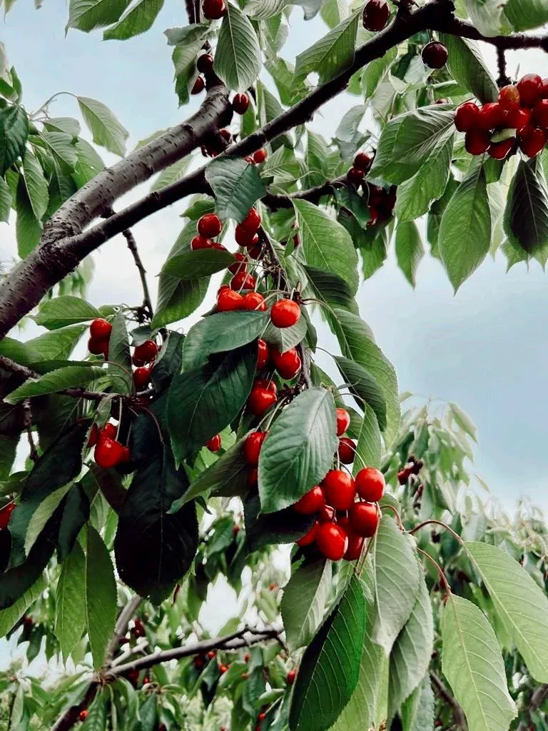
Çeribaşı Cherry is a geographically indicated value of ours, unique to the Edirne region and registered by the Turkish Patent and Trademark Office on 13.11.2025 (with registration number 1790).
View Official Geographical Indication Dossier for Çeribaşı Cherry →
2. Uzunköprü Meatballs (Yemekler ve çorbalar)
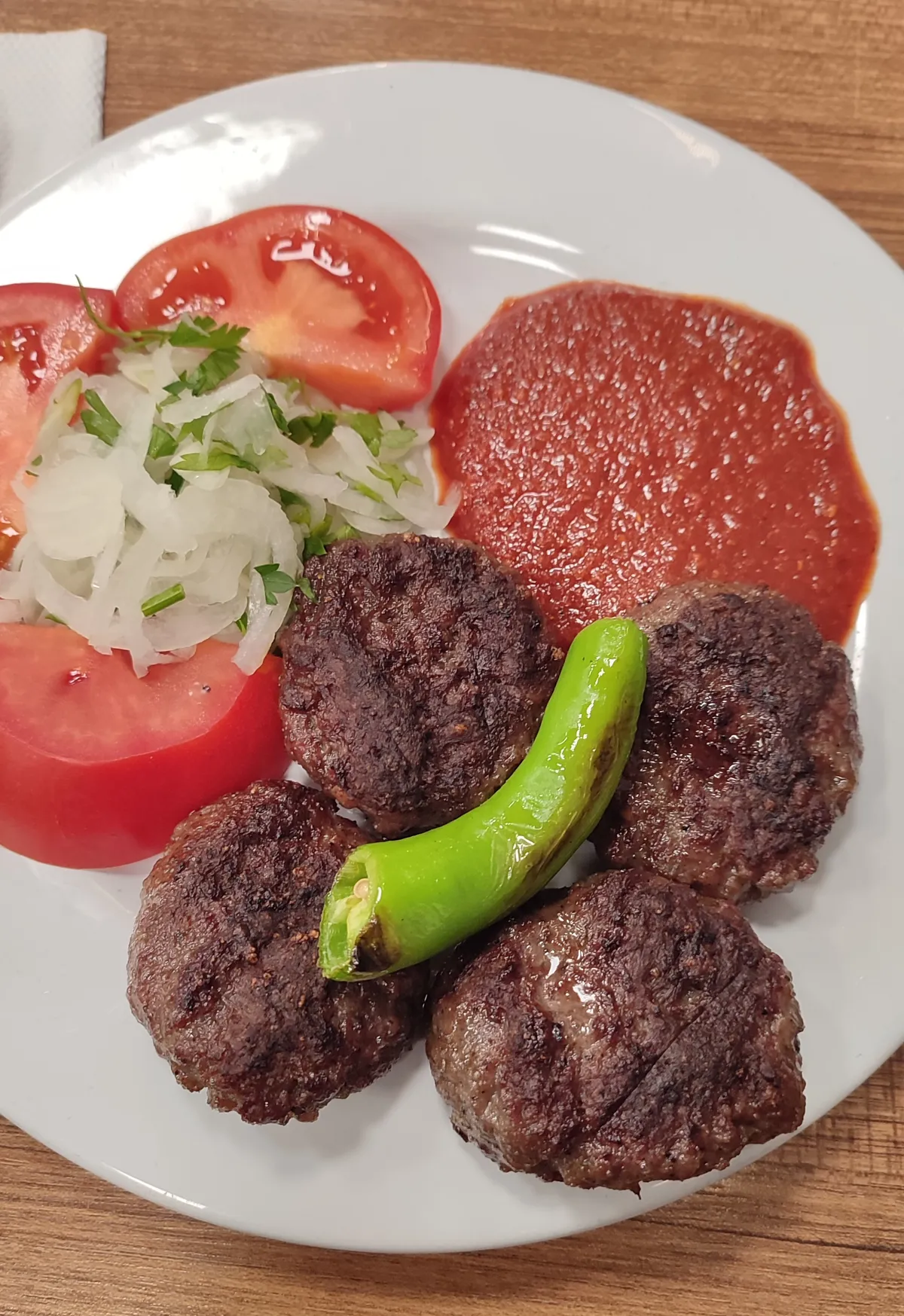
Juicy and elastic Thracian meatballs prepared from the meat of Ergene Plain calves.
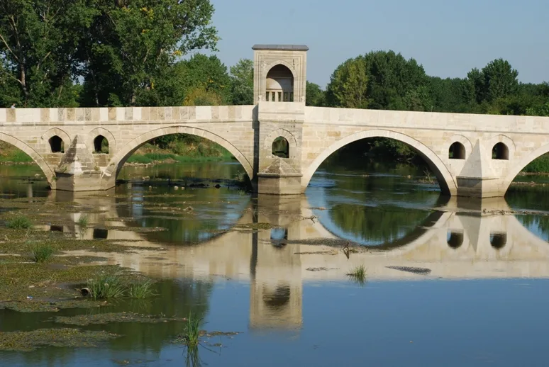
History: Half a century of flavor under the shadow of the world's longest stone bridge.
View Official Geographical Indication Dossier for Uzunköprü Meatballs →
3. Edirne Fresh Fruit Soap (Diğer ürünler)

Edirne Mis Fruit Soap is a geographically indicated value of ours, unique to the Edirne region and registered by the Turkish Patent and Trademark Office on 09.09.2019 (with registration number 452).
View Official Geographical Indication Dossier for Edirne Fresh Fruit Soap →
4. Ipsala Rice (Diğer ürünler)

Rice with plump, shiny white grains and high rice yield, obtained from Baldo, Cammeo and Osmancık varieties grown on the fertile alluvial delta of the Meriç River.
History: The success of modern and traditional rice farming in the İpsala Plain, which meets approximately one-third of Turkey's rice production.
Production Method: Irrigated with Meriç water in laser leveled paddy pans; Packaged to zero breakage standard with optical sorters.
View Official Geographical Indication Dossier for Ipsala Rice →
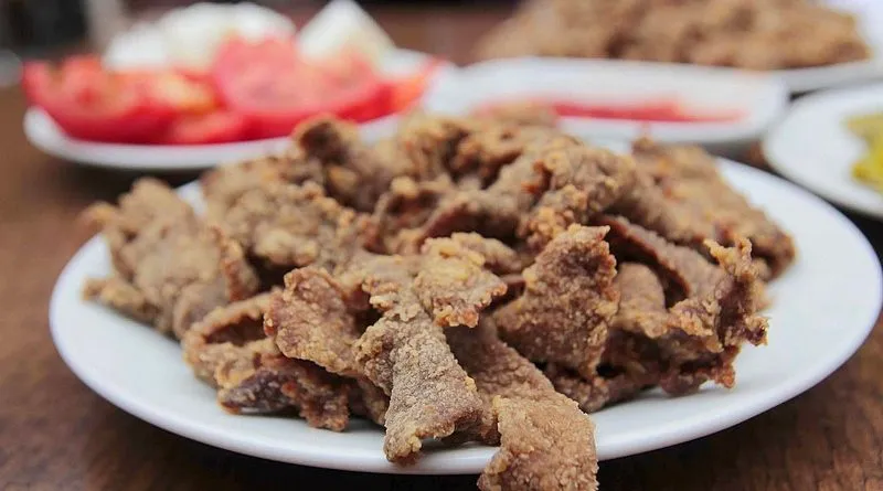
5. Keşan Shredded Meat (Yemekler ve çorbalar)
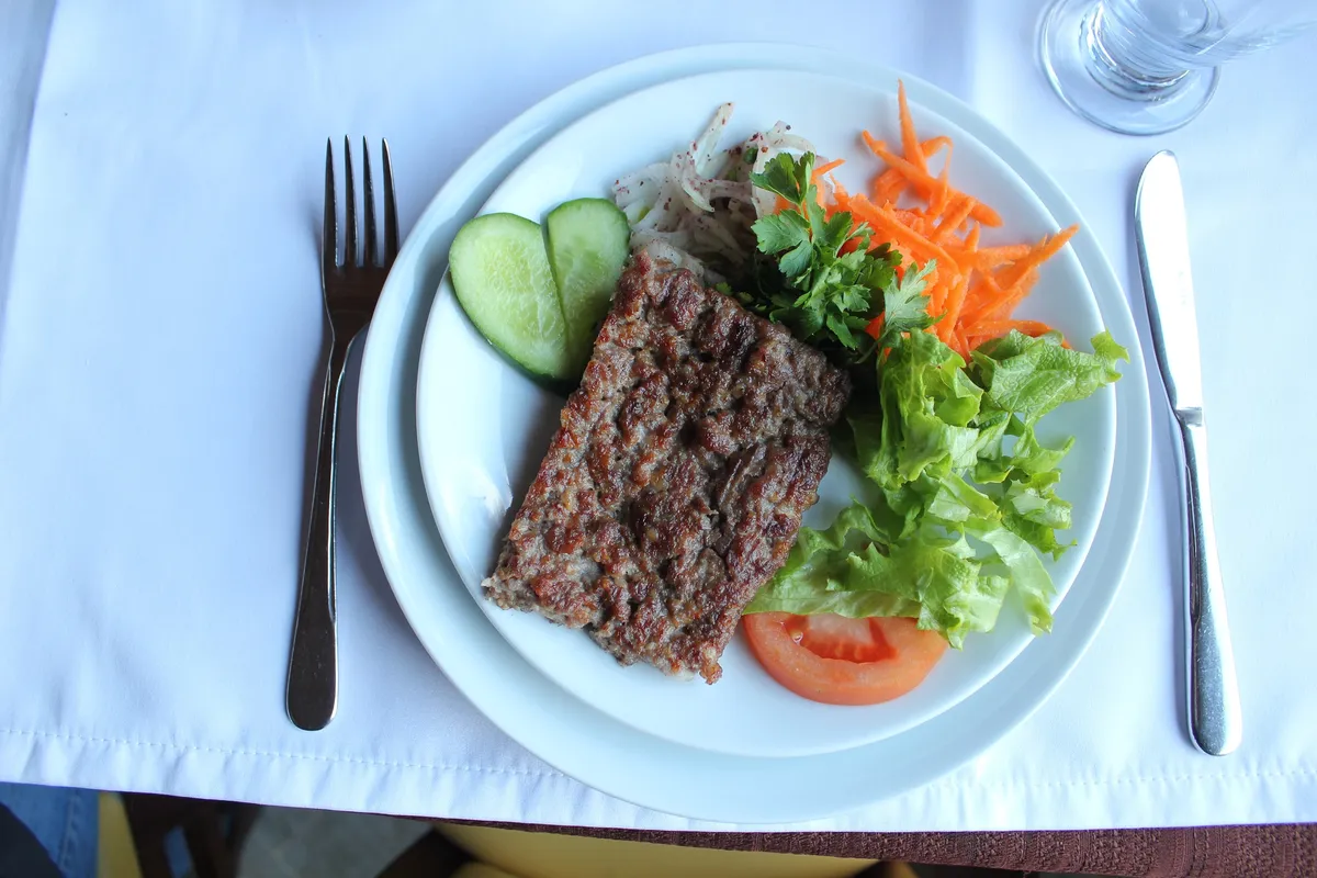
Chopping Southern Thracian lamb meat into rice grain size with a cleaver and cooking it on a wire grill.
History: A registered meatball masterpiece of Keşan roadside gastronomy culture.
View Official Geographical Indication Dossier for Keşan Shredded Meat →
6. Meriç Black Melon (İşlenmiş ve işlenmemiş meyve ve sebzeler ile mantarlar)
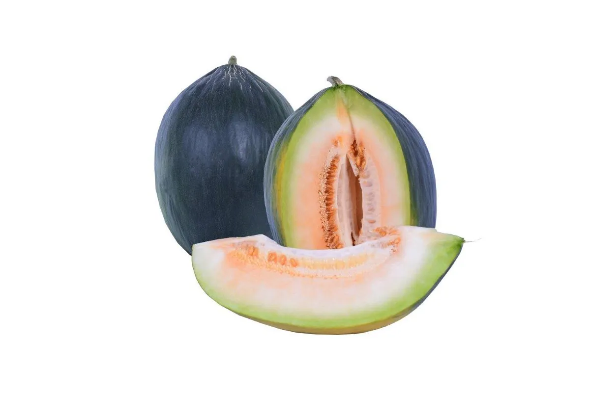
Meriç Black Melon is a value with an official Origin Name and geographical indication, unique to the Edirne region and registered by the Turkish Patent and Trademark Office on 10.03.2021 (with registration number 693).
View Official Geographical Indication Dossier for Meriç Black Melon →
Practical Travel & Transit Planning for Süloğlu, Edirne (2026)
| Planning Category | Verified Local Information |
|---|---|
| Region & Administrative Center | Süloğlu, Edirne, Türkiye |
| Best Time to Visit | Spring (April–June) and Autumn (September–November) for ideal sightseeing weather; Summer for highlands and coastal routes. |
| Public Transit & Highway Access | Regular municipal buses and local minibus cooperatives (Dolmuş) depart daily from the Edirne Intercity Bus Terminal (Otogar) directly to Süloğlu. |
| Recommended Stay | 1 to 2 full days to explore the main historical landmarks, nature trails, and local culinary stops. |
Frequently Asked Questions About Visiting Süloğlu, Edirne
What are the must-see places to visit in Süloğlu, Edirne?
The top verified attractions in Süloğlu, Edirne include Geçkinli Martyrdom & Monument, Keramettin Dolmen & Tumulus, Historical Süloğlu Çarşı Mosque, Yağcılı Village Pond & Grove, Süloğlu Pine Grove & Recreational Area. Each location offers documented historical or natural heritage with clear road access.
How can I get to Süloğlu, Edirne by public transport or car?
You can reach Süloğlu, Edirne easily by car via Edirne's main provincial highways, or take regular municipal buses and district minibuses departing throughout the day from the Edirne central bus terminal (Otogar).
What are the famous local dishes and traditional foods to try in Süloğlu, Edirne?
When visiting Süloğlu, Edirne and Edirne, be sure to taste officially registered specialties such as Çeribaşı Cherry, Uzunköprü Meatballs, Edirne Fresh Fruit Soap, Ipsala Rice, Keşan Shredded Meat, prepared by local artisans and traditional restaurants.
Are the attractions in Süloğlu, Edirne suitable for families and day trips?
Yes. Most historic monuments, parks, museums, and promenade areas in Süloğlu, Edirne are family-friendly and well-suited for both weekend getaways and full-day cultural itineraries.
When is the best season to visit Süloğlu, Edirne?
Spring and autumn offer the most comfortable temperatures for walking tours and photography in Süloğlu, Edirne, while summer is popular for nature recreation, plateaus, and festivals.