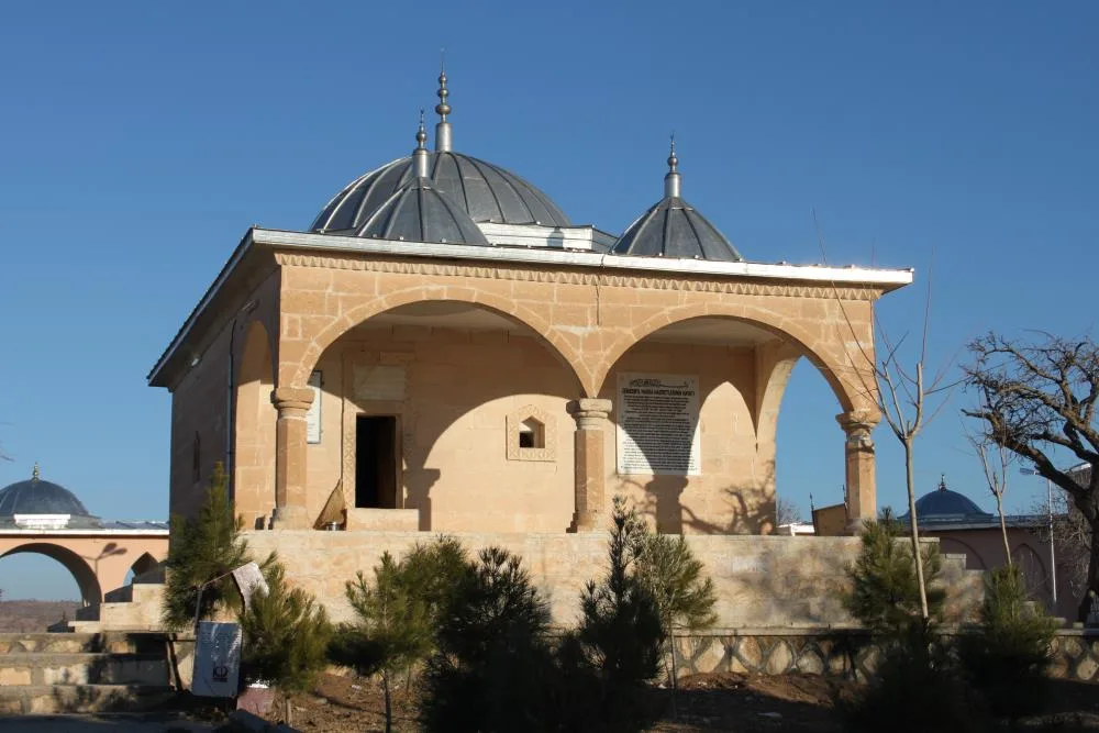
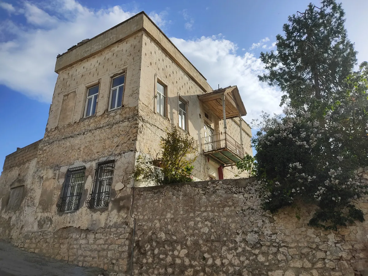
Planning a journey to Eruh, Siirt? This comprehensive 2026 History & Culture guide brings together 10 verified landmarks, natural wonders, and cultural heritage sites with official visiting hours, GPS coordinates, public transit connections, and local gastronomy recommendations.
Quick Highlights & Discovery Route in Eruh, Siirt
- Historical Old Zarova Stone Bridge
- Eruh Martyrs Park and 15 July Square
- Emir Nasreddin Complex and Tomb
- Historical Kiver (Hatemi Tay) Castle
- Sheikh Abdurrahman Mosque and Historical Complex
- Ruins of the Historical Gerra Inn
- Siirt Blanket
- Pervari Honey
Historical Landmarks, Architecture & Cultural Heritage in Eruh, Siirt
Eruh, Siirt (Siirt) preserves a multi-layered historical fabric shaped by centuries of Anatolian civilizations, including Roman, Byzantine, Seljuk, and Ottoman eras. Historic castles, stone bridges, caravanserais, civil mansions, and monumental structures reflect the strategic and cultural importance of Eruh, Siirt.
Walking through the historic quarters of Eruh, Siirt allows visitors to observe traditional masonry, timber-framed architecture, and restored heritage buildings up close.
- Architectural Details: Pay attention to carved stone portals, historic fountains, courtyard mansions, and defensive bastions across Eruh, Siirt.
- Best Visiting Hours: Early morning and late afternoon golden light offer the best conditions for architectural photography and crowd-free exploration.
- Cultural Etiquette & Preservation: Respect restoration zones and signage at registered historical monuments in Eruh, Siirt.
Top Verified History & Culture & Must-See Landmarks in Eruh, Siirt
1. Historical Old Zarova Stone Bridge
Free Public Access • GPS: 37.8100, 42.1767
History and General Information / Local Legends and Folklore
Located at the narrowest gorge of the Zarova Stream Canyon, the Historical Old Zarova Bridge was built by a philanthropist named Bedreddin in 1569 during the Ottoman period, according to its inscription and archive records. The bridge, which was built to make the historical caravan route between Siirt and Eruh and Cizre safe against the raging flood waters of the Zarova Stream, was built with smooth cut stone architecture with a single high pointed arch. It is one of the oldest representatives of classical Ottoman bridge engineering in the region, with its piers resting on the natural bedrock and its monumental silhouette connecting the two sides of the canyon.
Geographical Structure, Altitude and Natural Features
It is located in the gorge of Zarova Canyon, at an altitude of approximately 760 meters. It has a dramatic canyon topography integrated with steep rocky walls and the Zarova Stream flowing enthusiastically underneath.
Visiting Hours, Days and Entrance Fees
- Entrance Fee: Entrance is free.
- Visiting Hours and Days: It can be visited 24 hours a day, 7 days a week.
- Rules, Safety and Stroller/Disabled Access: Pedestrian crossing over the historic stone bridge should be done with care; Care should be taken not to slip on the surrounding canyon rocks.
- Facilities and Facilities: Resting areas around the canyon and Zarova valley fountains can be used.
Transportation, Public Transit Routes and Exact Location
- Address / Open Location: Zarova Canyon Gorge, on the Siirt-Eruh road, Eruh / Siirt.
- Road Condition and Vehicle Availability: It is 5 km from the center of Eruh; It is easily accessible via the main highway.
- Real Public Transportation Information: Eruh-Siirt minibuses pass from the stop near the bridge.
- Parking Availability: Cars can be parked free of charge in the extended pockets on the side of the highway.
Contextual Experience Tips, Photography and Local Gastronomy
- Best Photography Points and Frames: The reflection of the historical pointed stone arch on the canyon waters and the architectural contrast where the new viaduct bridge and the historical stone bridge enter the frame together.
- Light and Shooting Hours: Morning hours and afternoon sun.
- Local Gastronomy Recommendations: You should take a break with freshly brewed tea and Siirt pistachios in the recreation area around the bridge.
Explore Full 5-Section Guide & Map for Historical Old Zarova Stone Bridge →
2. Eruh Martyrs Park and 15 July Square
Free Public Access • GPS: 37.7646, 42.1594
History and General Information / Local Legends and Folklore
It is a memorial park and square located in front of the Government Mansion and the municipality building in Eruh district center, built to keep alive the cherished memory of our heroic soldiers and security guards who were martyred in defense of the homeland. The square where the historical streets of Eruh meet is the symbol of the peace, unity and official holidays of the district.
Geographical Structure, Altitude and Natural Features
It is located in the district center, built on the mountain slope, at an altitude of approximately 1,050 meters. It is surrounded by centuries-old mulberry trees, ornamental pools, roses and lighting poles.
Visiting Hours, Days and Entrance Fees
- Entrance Fee: Entrance is completely free and open to the public.
- Visiting Hours and Days (Mandatory): Open 24 hours a day, 7 days a week.
- Rules, Safety and Stroller/Disabled Access: Flat lock has stone floors; It is extremely wheelchair and stroller accessible.
- Facilities and Facilities: Rest benches, children's playground, fountain, lighting and surrounding tea gardens.
Transportation, Public Transit Routes and Exact Location
- Address / Open Location: Government Street, District Center, Eruh / Siirt.
- Road Condition and Vehicle Availability: It is 53 km away from Siirt city center; It can be easily reached by passenger vehicle via the newly constructed double and winding asphalt highway.
- Real Public Transportation Information (Mandatory): Eruh district minibuses depart from Siirt city center every half hour and drop off passengers directly next to the square.
- Parking Availability: Free municipal parking is available around the square.
Spiritual Visiting Etiquette and Commemoration Guidelines
- Spiritual Visit and Prayer Etiquette: One should stand in front of the martyrs' monument with respect and recite the Fatiha to our martyrs who died for the country.
- Documentary & Respectful Shooting: The inscriptions on the monument and the mountain view background of the square can be documented.
- Important Commemoration Days: 18 March, 15 July and 29 October Republic Day ceremonies are held in the square.
- Local Gastronomy Recommendations: You can taste fresh Eruh pita from Meydan bakeries and lamb buryan in restaurants.
Explore Full 5-Section Guide & Map for Eruh Martyrs Park and 15 July Square →
3. Emir Nasreddin Complex and Tomb
Free Public Access • GPS: 37.9350, 41.9500
History and General Information / Local Legends and Folklore
Emir Nasreddin Social Complex, located in the deep valley of Kavaközü (formerly known as Tanze) Village of Eruh, is one of the most valuable treasures of the early foundation architecture of the Ottoman Empire in Eastern Anatolia. The social complex dates back to the 16th century Ottoman period, with the date 1565 (Hijri 973) on the tomb inscriptions in the tomb; It is a huge center of science and social life consisting of mosques, madrasahs, tombs, inns, water mills and water structures. According to the local narratives, His Excellency Emir Nasreddin came to the region and founded this madrasah, which housed hundreds of science students and the poor, and built a science center where caravans spent the night. The structures, built with vaulted arches made of rubble and cut stone, carry the mystical architecture of the period to the present day.
Geographical Structure, Altitude and Natural Features
It is located in the valley of Kavaközü Village, at an altitude of approximately 920 meters. It is located on the bottom of a peaceful valley surrounded by oak trees, walnut groves and mountain slopes.
Visiting Hours, Days and Entrance Fees
- Entrance Fee: Entrance and visit are completely free.
- Visiting Hours and Days: It can be visited 7 days a week in daylight.
- Rules, Safety and Stroller/Disabled Access: Historical vaulted structures and tombstones should not be damaged. You can enter the mosque and tomb without shoes. Düzayak village road is accessible.
- Facilities and Facilities: There is a historical mosque, tomb, water source and village recreation area.
Transportation, Public Transit Routes and Exact Location
- Address / Open Location: Kavaközü (Tanze) Village, Eruh / Siirt.
- Road Condition and Vehicle Availability: It is approximately 12 km away from Eruh town center; The village road is covered with asphalt and concrete and can be reached by passenger vehicles.
- Real Public Transportation Information: You can go from Eruh district center to Kavaközü village minibuses or by taxi.
- Parking Availability: Free car parking is available in the village square and in front of the social complex.
Spiritual Visiting Etiquette and Commemoration Guidelines
- Spiritual Visit and Prayer Etiquette: It is recommended to recite the Fatiha at the tomb, which has been standing for more than 450 years, to perform a two-rakat prayer in the mosque and to pray for the learned ancestors.
- Documentary & Respectful Shooting: 16th century vaulted stone arches, Ottoman Thuluth inscriptions and historical madrasa cells can be photographed silently.
- Local Spiritual Tradition: Village people offer tandoori buns and tea to visitors in the courtyard of the social complex on Fridays and holy nights.
Explore Full 5-Section Guide & Map for Emir Nasreddin Complex and Tomb →
4. Historical Kiver (Hatemi Tay) Castle
Free Public Access • GPS: 37.7796, 42.0675
History and General Information / Local Legends and Folklore
Located on the steep slopes of Mount Kiver, rising in the south of Eruh district, at an altitude of approximately 1750 meters, Kiver Castle is a monumental military garrison in the form of an eagle's nest, built in the Middle Ages (12th and 13th centuries). The structure, which is also called "Hatemi Tay Castle" in historical sources and among the public, referring to Hatem-i Tâî, the legendary ruler of the Arabic literature and the pre-Islamic period, famous for his generosity; It is known for its strategic location overlooking the Botan valley and Şırnak passes. There are water cisterns, watchtowers and secret observation portholes in the castle, which was built by skillfully fortifying natural rocks with city walls.
Geographical Structure, Altitude and Natural Features
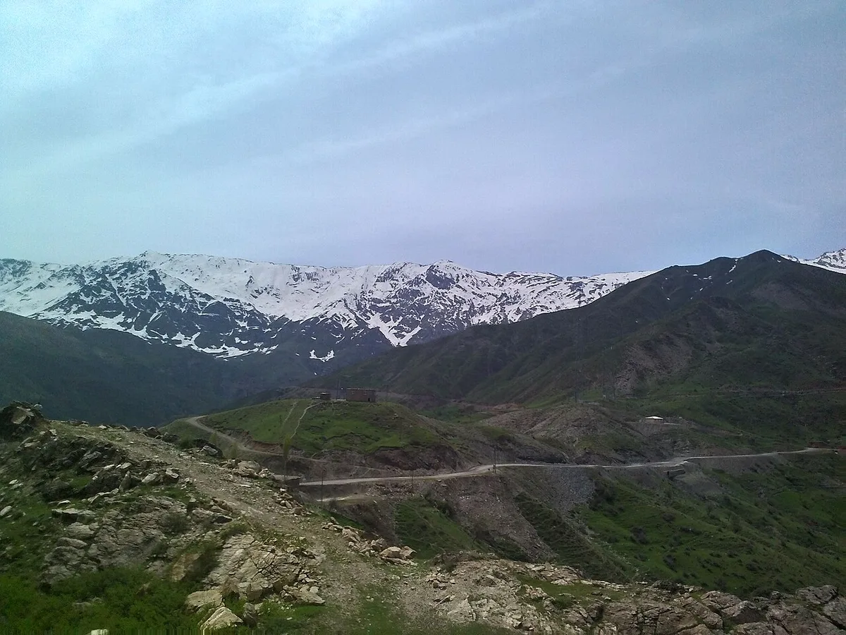
It is located on the steep peak of Mount Kiver, at an altitude of 1750 meters. It is a panoramic eagle's nest overlooking alpine meadows, wild oak bushes and miles of mountain ranges.
Visiting Hours, Days and Entrance Fees
- Entrance Fee: Visiting is free.
- Visiting Hours and Days: It can be visited 7 days a week in daylight.
- Rules, Safety and Stroller/Disabled Access: Due to the high altitude and steep mountain path, professional trekking shoes and careful climbing are essential. Care should be taken around cliff edges; Not suitable for strollers and disabled access.
- Facilities and Facilities: It is a natural and untouched protected area; There are no facilities in the surrounding area. You should have water and basic necessities with you.
Transportation, Public Transit Routes and Exact Location
- Address / Open Location: Kiver Mountain foothills, Eruh / Siirt.
- Road Conditions and Vehicle Availability: It is approximately 9 km away from Eruh town centre; You can go with off-road 4x4 vehicles to the beginning of the mountain path and walk the remaining part.
- Real Public Transportation Information: There is no direct public transportation; It is recommended to go with a private vehicle or a local guide.
- Parking Availability: Vehicles can be parked on the mountain plains at the beginning of the trail.
Contextual Experience Tips, Photography and Local Gastronomy
- Best Photography Spots and Frames: Ruins of historical stone towers rising on the steep cliffs of Mount Kiver and the endless panorama of the Botan mountains from 1750 meters.
- Light and Shooting Times: The clear mountain light of the morning and the redness of the sunset.
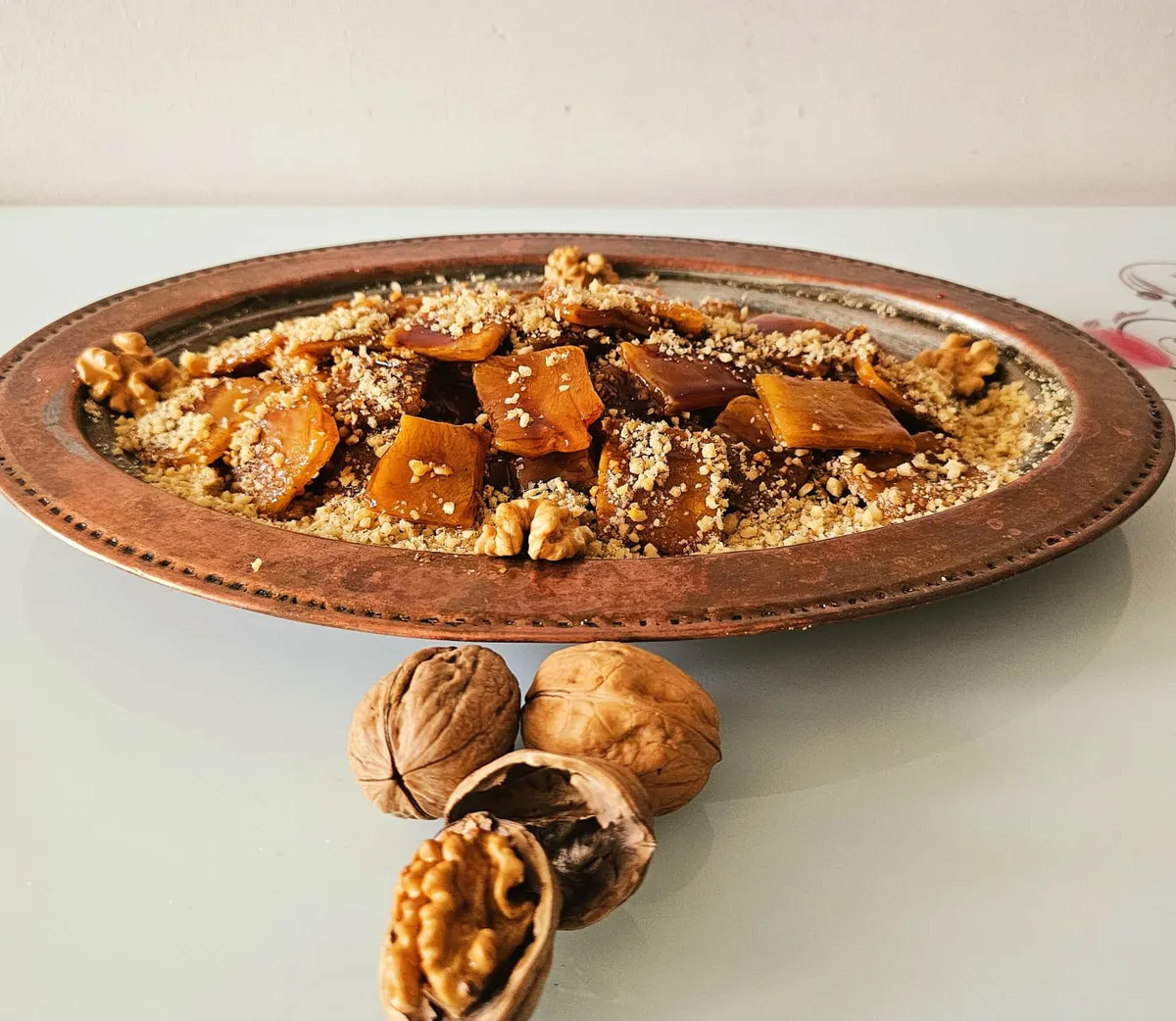
- Local Gastronomy Recommendations: After the climb, it is recommended to eat the famous Siirt buryan kebab and local walnut fruit pulp in Eruh center.
Explore Full 5-Section Guide & Map for Historical Kiver (Hatemi Tay) Castle →
5. Sheikh Abdurrahman Mosque and Historical Complex
Free Public Access • GPS: 37.7909, 42.2179
History and General Information / Local Legends and Folklore
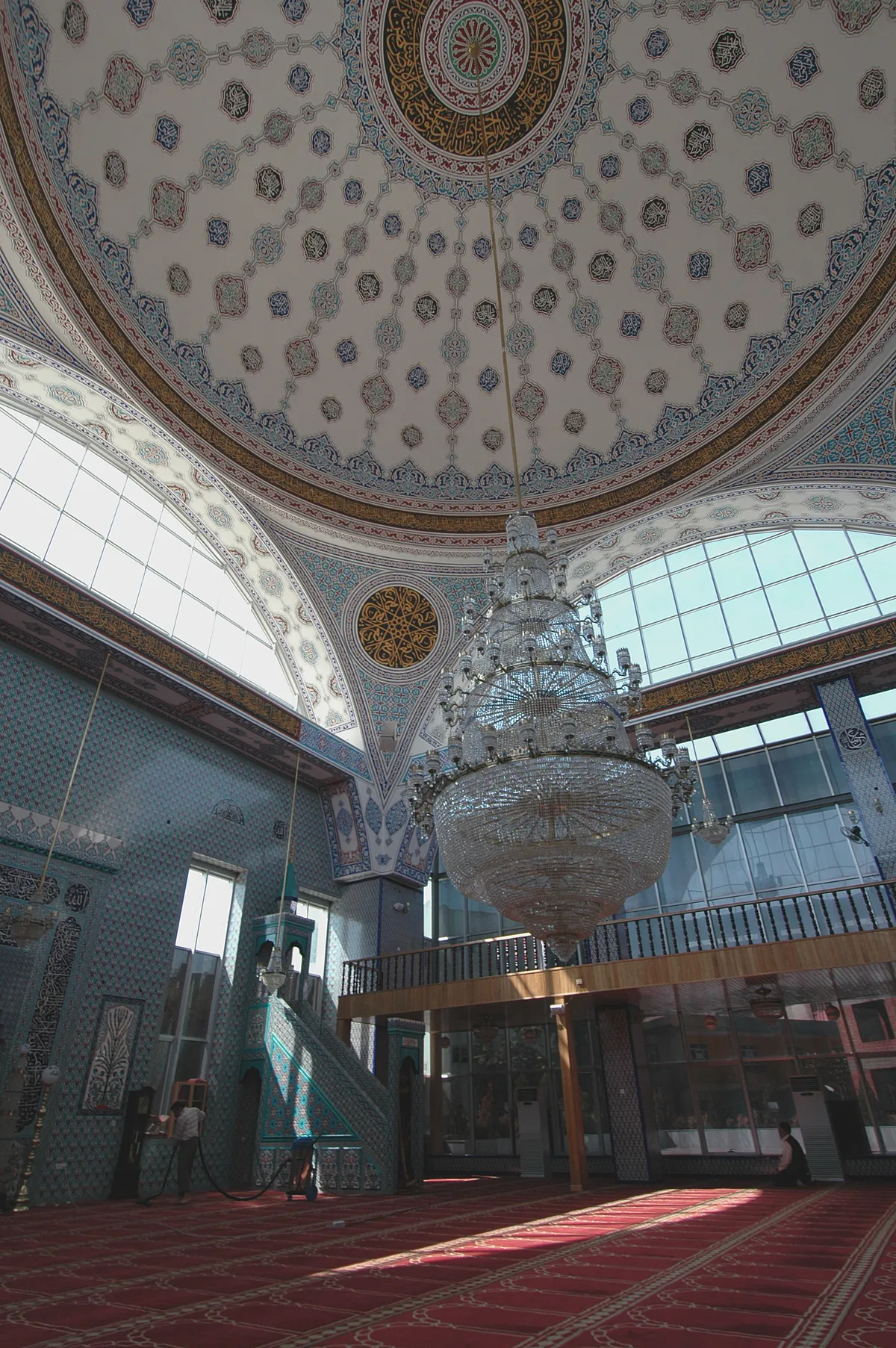
It is a historical mosque and complex, one of the most established places of worship in Eruh district center, built in the name of Sheikh Abdurrahman, one of the spiritual leaders of the region. This sacred place, which has provided madrasah education and science and mysticism lessons in Eruh for centuries, is the spiritual hearth where the yeast of unity and brotherhood of the people of the district is sown.
Geographical Structure, Altitude and Natural Features
It is located in the district center, at an altitude of approximately 1,040 meters. It offers a peaceful environment with its traditional stone architecture, domed porticoes and a courtyard with a fountain.
Visiting Hours, Days and Entrance Fees
- Entrance Fee: Entrance is completely free and open to worship.
- Visiting Hours and Days (Mandatory): It is open 7 days a week from morning adhan to night prayer (04:30 - 22:00).
- Rules, Security and Baby Stroller/Disabled Access: There is a disabled ramp at the entrance of the mosque; It is wheelchair accessible. Attire appropriate to worship etiquette is required.
- Facilities and Facilities: Fountain, ablution room, large prayer hall, ladies' hall and library.
Transportation, Public Transit Routes and Exact Location
- Address / Open Location: Fatih Mahallesi, Cami Sokak, Eruh / Siirt.
- Road Conditions and Vehicle Availability: It is in the town center and can be reached by all passenger vehicles.
- Actual Public Transportation Information (Mandatory): Eruh district minibuses pass near the mosque; It can be reached within a 5-minute walk from Government Square.
- Parking Availability: There are car parks around the mosque.
Spiritual Visiting Etiquette and Commemoration Guidelines
- Spiritual Visit and Prayer Etiquette: One should spend time in silence in the mosque courtyard, pray and pray.
- Documentary & Respectful Shooting: Cut stone arches and mihrab engravings can be viewed during non-worship hours.
- Important Commemoration Days: Friday prayers, Kandil nights and Mawlid programs are revived with intense congregation.
- Local Spiritual Tradition: The tradition of offering Turkish delight and rose water at the exit of the mosque continues on religious days.
Explore Full 5-Section Guide & Map for Sheikh Abdurrahman Mosque and Historical Complex →
6. Ruins of the Historical Gerra Inn
Free Public Access • GPS: 37.7766, 42.1789
History and General Information / Local Legends and Folklore
It is a historical stone inn located in the Botan River valley on the Siirt-Eruh-Şırnak historical caravan route and was one of the lifelines of the medieval caravan trade. The inn serving one of the southern branches of the Silk Road; It was built with rubble stone and lime mortar for the safe accommodation of merchants, travelers and caravanners. Local legends say that the merchants staying in this inn were protected from the bandit raids of the Botan Valley and that rich barter markets were established in the inn courtyard.
Geographical Structure, Altitude and Natural Features
It is located in a sheltered valley plain on the banks of the Botan River, at an altitude of approximately 650 meters. Its surroundings are covered with wild olive groves, terebinth and oak bushes.
Visiting Hours, Days and Entrance Fees
- Entrance Fee: Visiting the historical inn ruins is free of charge.
- Visiting Hours and Days (Mandatory): Open to visitors 24 hours a day, 7 days a week; Daylight hours are recommended.
- Rules, Safety and Stroller/Disabled Access: Historical wall ruins should not be climbed and stones should not be removed. The land is slightly stony; Sports shoes are suitable.
- Facilities and Facilities: It is a natural protected area; There is no facility.
Transportation, Public Transit Routes and Exact Location
- Address / Open Location: Botan Çayı Mevkii, Eski Şırnak Yolu, Eruh / Siirt.
- Road Condition and Vehicle Availability: It is 18 km from the center of Eruh; It can be reached nearby by passenger vehicle from the Siirt-Eruh-Şırnak highway route.
- Real Public Transportation Information (Mandatory): Passenger minibuses operating between Siirt-Eruh-Şırnak drop off passengers at the Han location turnoff.
- Parking Availability: Vehicles can be parked on the wide plain next to the highway.
Best Photo Spots and Frames
- Best Photography Spots and Frames: The surviving arched entrance door of the inn, stone walls with the flow of the Botan Stream and the caravanserai rooms.
- Light and Shooting Hours: The afternoon sun reveals the texture and shadows of historical stones in the most beautiful way.
- Local Gastronomy Recommendations: Shepherd's yoghurt, tandoori bread and tulum cheese can be tasted at local stops along the way.
Explore Full 5-Section Guide & Map for Ruins of the Historical Gerra Inn →
7. Sağlarca (Billoris) Thermal Spa
Ticketed / MuseumPass Check • GPS: 37.8251, 41.8839
History and General Information / Local Legends and Folklore
Sağlarca (Billoris / Garnave) Thermal Spring, boiling in a natural rock cave on the banks of the Botan Stream, is a well-established geothermal center that has been providing healing since the Ancient Roman and Artuqid periods. This sulfur, sodium and calcium healing water, which has a temperature of 33-36 degrees Celsius; It has become a source of healing for sufferers from all over Southeastern Anatolia, as it is good for rheumatic diseases, sciatica, skin disorders and joint arthritis. The cave spa, integrated with the unique view of Botan Canyon, is the most valuable health tourism heritage of the region with both its natural thermal richness and history.
Geographical Structure, Altitude and Natural Features
It is located on the shores of the Botan Stream Valley, at an altitude of approximately 600 meters. The course of the Botan River is in an exotic valley nature surrounded by steep limestone slopes and canyon caves.
Visiting Hours, Days and Entrance Fees
- Entrance Fee: Thermal spring pools are subject to municipality/business tariffs; There is a daily entrance fee.
- Visiting Hours and Days: Open 7 days a week between 07:00 - 22:00 in male and female sessions.
- Rules, Safety and Baby Stroller/Disabled Access: Those with heart, high blood pressure and respiratory problems should limit their stay in the thermal cave to 15-20 minutes. The use of towels and slippers is mandatory.
- Facilities and Facilities: Natural cave pools, recreation rooms, teahouses and toilets are available.
Transportation, Public Transit Routes and Exact Location
- Address / Open Location: Sağlarca location, Botan Stream Shore, Eruh / Siirt.
- Road Condition and Vehicle Suitability: It can be easily reached by any passenger vehicle via the asphalt road leading down to Botan Valley via the Siirt-Eruh highway.
- Real Public Transportation Information: Transportation is provided by Sağlarca/Kaplıca minibuses and taxis departing from Siirt and Eruh centre.
- Parking Availability: There is a free outdoor parking area in front of the facility.
Contextual Experience Tips, Photography and Local Gastronomy
- Best Photography Spots and Frames: The hot spring cave vapors rising from the banks of the Botan Stream and the majestic water curves of the Botan Canyon.
- Light and Shooting Hours: Early morning hours when the steam rising from the water dances with the light.
- Local Gastronomy Recommendations: After the hot spring bath, the famous Eruh honey and tandoori bread should be consumed with a pot of tea.
Explore Full 5-Section Guide & Map for Sağlarca (Billoris) Thermal Spa →
8. Zarova Stream Canyon and Waterfall
Free Public Access • GPS: 37.8099, 42.1805
History and General Information / Local Legends and Folklore
Zarova Stream Canyon, one of the most untouched canyon valleys of Southeastern Anatolia, has been the natural passage of the ancient caravan route between the Botan Basin and Şırnak Mountains for centuries. Zarova Stream, which winds its way through the steep limestone cliffs along the canyon, resembles an oasis in the middle of the desert with its gradual natural waterfalls and turquoise-coloured clear rock ponds. According to the legends told among the local people, it is said that bathing in the cool waters of this stream, which is fed by melted snow from the mountains, relaxes the body and cures troubles in the scorching heat of the summer months. The region is the most popular route in Siirt for nature photography, canyon walking and picnic enthusiasts.
Geographical Structure, Altitude and Natural Features
It is located in the Zarova Stream valley, at an altitude of approximately 750-800 meters. It has a rich mountain river ecosystem dotted with steep limestone canyon walls and wild figs, oaks, willows and oleander shrubs.
Visiting Hours, Days and Entrance Fees
- Entrance Fee: Entrance to the natural canyon and recreation area is completely free.
- Visiting Hours and Days: It can be visited 7 days a week in daylight.
- Rules, Safety and Stroller/Disabled Access: The stream bed is stony and slippery in places; Non-slip canyon shoes are a must. When the flow rate increases during spring flood periods, water should be approached with caution. Coastal rest plains are partially suitable for strollers.
- Facilities and Facilities: There are camellias, picnic tables, shady resting places and fountains on the edge of the canyon.
Transportation, Public Transit Routes and Exact Location
- Address / Open Location: Zarova location, Siirt-Eruh Highway 37th km, Eruh / Siirt.
- Road Condition and Vehicle Availability: It is approximately 5 km away from Eruh town centre; You can go directly to the river valley by passenger vehicles via the divided Siirt-Eruh road.
- Real Public Transportation Information: Minibuses operating between Siirt-Eruh and Eruh-Şırnak stop at the canyon bridge area.
- Parking Availability: There are free car parks in the recreation area on the canyon shore.
Contextual Experience Tips, Photography and Local Gastronomy
- Best Photography Points and Frames: The natural turquoise pool formed by Zarova Waterfall flowing from the steep cliffs of the canyon and the canyon perspective from under the huge viaduct bridge crossing the valley.
- Light and Shooting Hours: Afternoon time between 11:00 - 15:00 when the sun hits the valley floor.
- Local Gastronomy Recommendations: While having a picnic on the banks of the canyon, fresh tandoori bread from Eruh villages, Siirt herb cheese and fruit pulp should be consumed.
Explore Full 5-Section Guide & Map for Zarova Stream Canyon and Waterfall →
9. Bilican Plateau and Recreation Area
Free Public Access • GPS: 37.7518, 42.1797
History and General Information / Local Legends and Folklore
Located on the cool mountain slopes of Eruh, it is a traditional recreation and plateau area where local nomads and village people have been grazing their flocks and transhumance during the summer months for centuries. With its wide pastures adorned with flowers, cold springs and fresh air, Eruh is the most popular shelter for those escaping from the sweltering summer heat.
Geographical Structure, Altitude and Natural Features
It lies on large mountain plateaus at an altitude of approximately 1,650 meters. It is surrounded by thyme-scented wildflowers, wild clover and oak trees.
Visiting Hours, Days and Entrance Fees
- Entrance Fee: Entrance to the plateau is completely free and open to the public.
- Visiting Hours and Days (Mandatory): Open 7 days a week during daylight hours; The most enjoyable season is May-September.
- Rules, Safety and Stroller/Disabled Access: It is a natural plateau plain; After the picnic, the environment should be left clean and the fire should be lit in a controlled manner. Flat areas are suitable for stroller use.
- Facilities and Facilities: Natural spring water fountains and picnic areas are available.
Transportation, Public Transit Routes and Exact Location
- Address / Open Location: Bilican Mevkii, Yayla Yolu, Eruh / Siirt.
- Road Condition and Vehicle Availability: It is 16 km from the center of Eruh; It is a stabilized plateau road and can be driven carefully in the summer months by passenger vehicle, higher vehicles are more comfortable.
- Real Public Transportation Information (Mandatory): There is no direct public transportation from Eruh center to the plateau; It can be reached by private vehicle or taxi.
- Parking Availability: Vehicles can be parked easily on the plateau plain.
Best Photo Spots and Frames
- Best Photo Spots and Frames: Herds of goats grazing on the plateau, colorful plateau flowers and sunset mountain silhouette.
- Light and Shooting Hours: The clear air of the morning and afternoon hours are the most productive time for photography.
- Local Gastronomy Recommendations: Fresh Eruh tulum cheese and hot tandoori bread accompanied by samovar tea brewed on embers in the plateau.
Explore Full 5-Section Guide & Map for Bilican Plateau and Recreation Area →
10. Dağdere Canyon and Valley
Free Public Access • GPS: 37.7870, 42.1158
History and General Information / Local Legends and Folklore
It is a magnificent canyon hidden in the untouched geography of Eruh, stretching along the village of Dağdere and shaped by the clear stream water flowing through the limestone cliffs. This canyon, known only to the village people for years, is a secret paradise discovered by nature athletes with its steep cliffs, hidden waterfalls and natural rock shelters.
Geographical Structure, Altitude and Natural Features
It flows on the bottom of a deep valley surrounded by steep rocky slopes, at an altitude of approximately 880 meters. Willow and plane trees grow along the stream, and the coolness of the water adds coolness to the valley.
Visiting Hours, Days and Entrance Fees
- Entrance Fee: Entrance is completely free.
- Visiting Hours and Days (Mandatory): It can be visited 7 days a week in daylight.
- Rules, Safety and Baby Stroller/Disabled Access: Be careful about slippery surfaces in streams and rocky paths; Walking shoes are a must. It is not suitable for baby strollers.
- Facilities and Facilities: It is a natural protected area; There are fountains and shaded areas in the village.
Transportation, Public Transit Routes and Exact Location
- Address / Open Location: Dağdere Village, Eruh / Siirt.
- Road Condition and Vehicle Availability: It is 9 km away from Eruh town center; You can reach the village entrance by passenger vehicle on an asphalt and stabilized road.
- Actual Public Transportation Information (Mandatory): The canyon entrance can be reached with Dağdere village shuttles departing from Eruh district center.
- Parking Availability: Vehicles can be parked at the village entrance.
Best Photo Spots and Frames
- Best Photo Spots and Frames: Gorges where the canyon narrows, natural pools where water carves rocks, and steep valley walls.
- Light and Shooting Hours: 10:00 - 13:00 in the morning is the time when the best light reaches the canyon.
- Local Gastronomy Recommendations: You can taste freshly milked goat milk, fresh cheese and walnuts in the village.
Explore Full 5-Section Guide & Map for Dağdere Canyon and Valley →
What to Eat in Eruh, Siirt? Registered Local Delicacies & Gastronomy
A trip to Eruh, Siirt is incomplete without tasting its officially registered geographical indication products and centuries-old Anatolian recipes:
1. Siirt Blanket (Halılar, kilimler ve dokumalar dışında kalan el sanatı ürünleri)
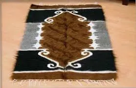
Natural blanket woven on hand looms from pure angora goat wool and feathered with iron combs.
History: A century-old hand-woven masterpiece that is impermeable to water and cold.
View Official Geographical Indication Dossier for Siirt Blanket →
2. Pervari Honey (Bal)

Product Story & History:
Siirt Pervari Honey is the healing beehive honey of the Ottoman palaces, protected by the Turkish Patent and Trademark Office as a Name of Origin with registration number 59.
View Official Geographical Indication Dossier for Pervari Honey →
3. Siirt Perde Pilaf (Yemekler ve çorbalar)
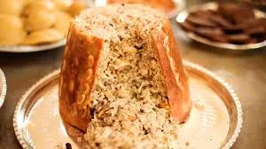
Partridge or chicken meat, almonds and spicy rice wrapped in phyllo and baked in a fez-shaped copper pot.
History: Historical wedding dinner where the mother-in-law gave the bride the message 'keep the house secrets'.
View Official Geographical Indication Dossier for Siirt Perde Pilaf →
4. Siirt Pistachio (İşlenmiş ve işlenmemiş meyve ve sebzeler ile mantarlar)
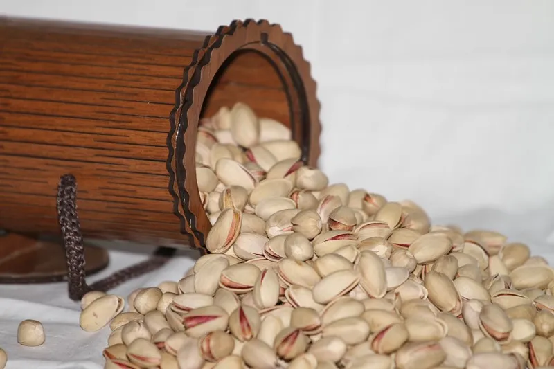
A noble snack peanut that is larger than pistachios, has open and wide cracks, is easy to crack, has a light beige shell and has a high fat content.
History: 'Root Pistachio' of Siirt, grown by grafting on wild bıttım trees on the steep slopes of the Botan Valley.
Production Method: It is grafted onto Bıttım rootstock; It is harvested in September, dried in the sun and roasted with salt.
View Official Geographical Indication Dossier for Siirt Pistachio →
5. Shawl Shepik Fabric (Dokumalar)
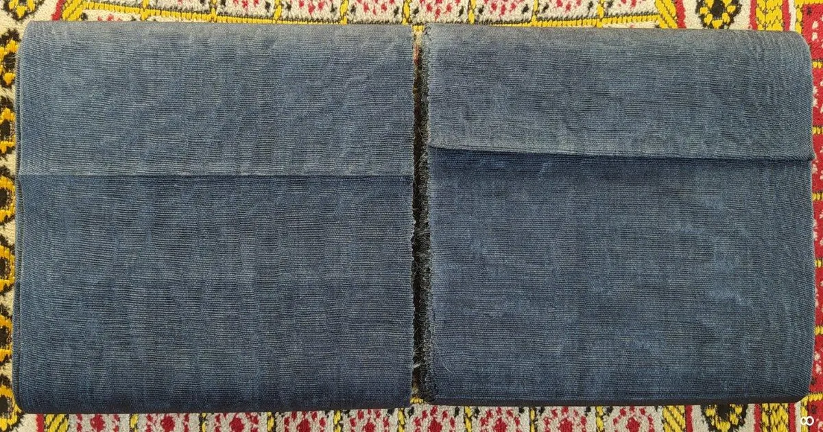
An authentic fabric that is made by hand-spun angora goat wool, coloring it with root dyes, beating and weaving in 10 different stages on narrow shuttle hand looms, and keeping it cool in summer and warm in winter.
History: 3000-year-old heritage of weaving art, known as the clothing of Mesopotamian kings and lords.
Production Method: Mohair wool is used, it is felted by beating in hot water and woven on traditional looms.
View Official Geographical Indication Dossier for Shawl Shepik Fabric →
6. Zivzik Pomegranate (İşlenmiş ve işlenmemiş meyve ve sebzeler ile mantarlar)
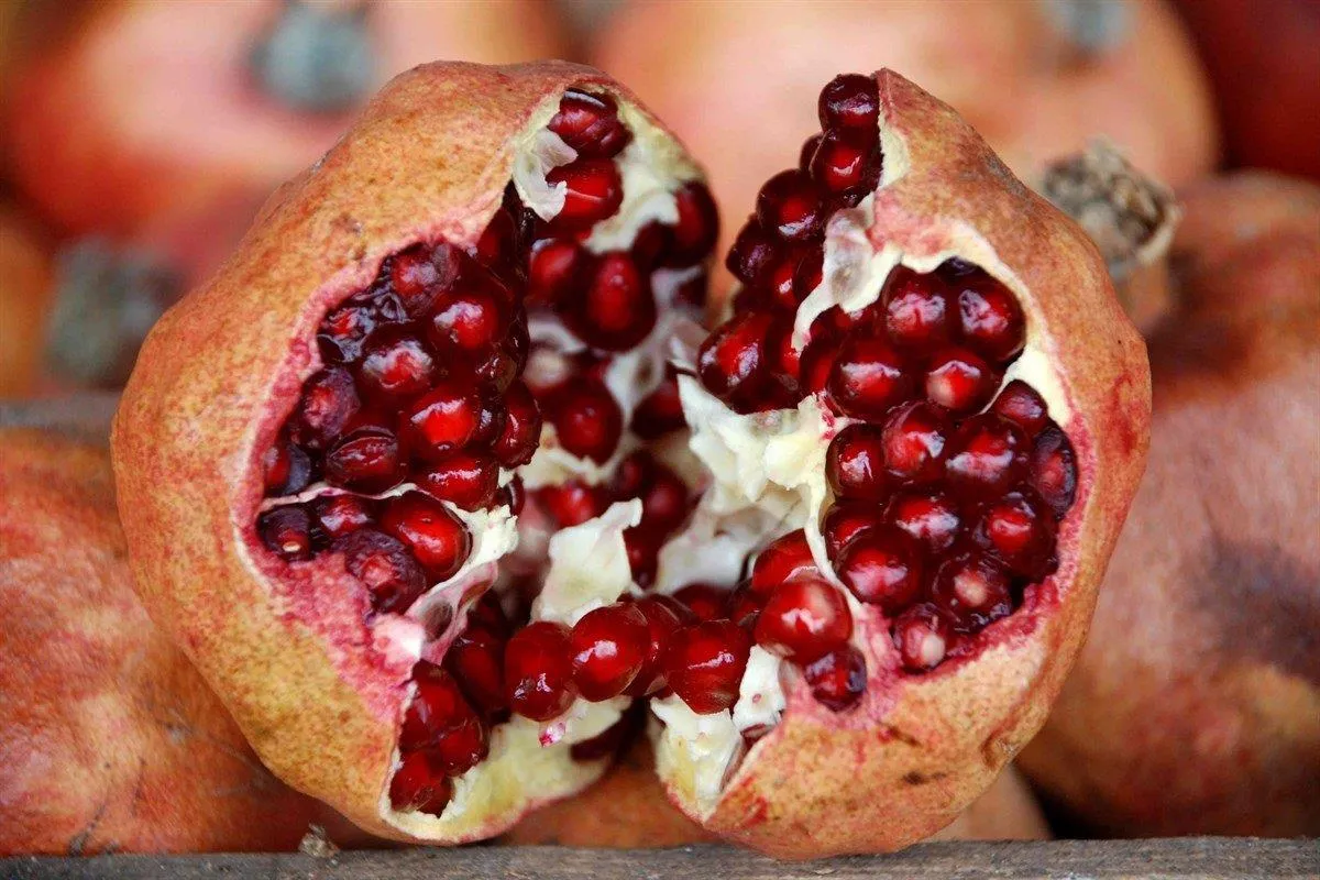
Thin-skinned, large-grained, sweet-tart winter pomegranate grown in the Zivzik village on the slopes of the Botan Stream.
History: Centuries-old medicinal pomegranate gardens that can be hung and stored throughout the winter.
View Official Geographical Indication Dossier for Zivzik Pomegranate →
Practical Travel & Transit Planning for Eruh, Siirt (2026)
| Planning Category | Verified Local Information |
|---|---|
| Region & Administrative Center | Eruh, Siirt, Türkiye |
| Best Time to Visit | Spring (April–June) and Autumn (September–November) for ideal sightseeing weather; Summer for highlands and coastal routes. |
| Public Transit & Highway Access | Regular municipal buses and local minibus cooperatives (Dolmuş) depart daily from the Siirt Intercity Bus Terminal (Otogar) directly to Eruh. |
| Recommended Stay | 1 to 2 full days to explore the main historical landmarks, nature trails, and local culinary stops. |
Frequently Asked Questions About Visiting Eruh, Siirt
What are the must-see places to visit in Eruh, Siirt?
The top verified attractions in Eruh, Siirt include Historical Old Zarova Stone Bridge, Eruh Martyrs Park and 15 July Square, Emir Nasreddin Complex and Tomb, Historical Kiver (Hatemi Tay) Castle, Sheikh Abdurrahman Mosque and Historical Complex. Each location offers documented historical or natural heritage with clear road access.
How can I get to Eruh, Siirt by public transport or car?
You can reach Eruh, Siirt easily by car via Siirt's main provincial highways, or take regular municipal buses and district minibuses departing throughout the day from the Siirt central bus terminal (Otogar).
What are the famous local dishes and traditional foods to try in Eruh, Siirt?
When visiting Eruh, Siirt and Siirt, be sure to taste officially registered specialties such as Siirt Blanket, Pervari Honey, Siirt Perde Pilaf, Siirt Pistachio, Shawl Shepik Fabric, prepared by local artisans and traditional restaurants.
Are the attractions in Eruh, Siirt suitable for families and day trips?
Yes. Most historic monuments, parks, museums, and promenade areas in Eruh, Siirt are family-friendly and well-suited for both weekend getaways and full-day cultural itineraries.
When is the best season to visit Eruh, Siirt?
Spring and autumn offer the most comfortable temperatures for walking tours and photography in Eruh, Siirt, while summer is popular for nature recreation, plateaus, and festivals.