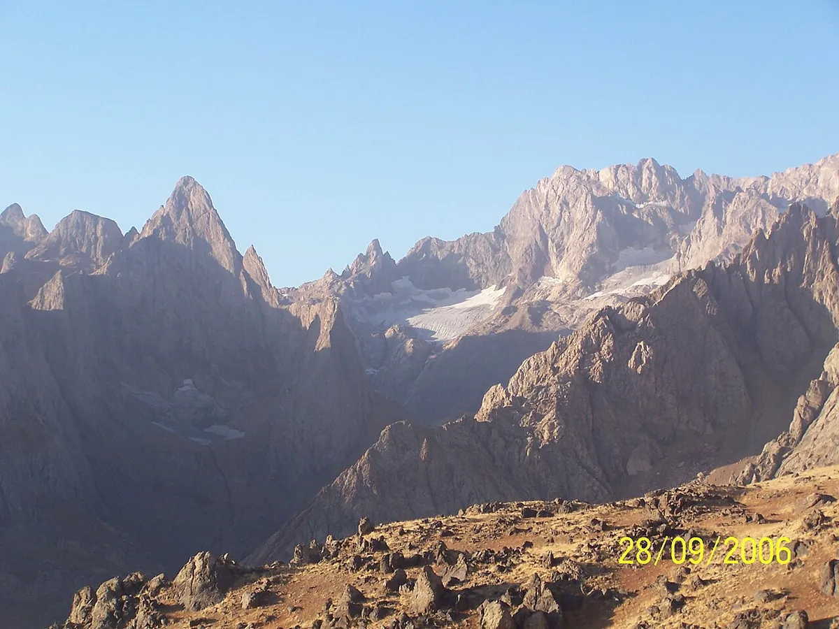
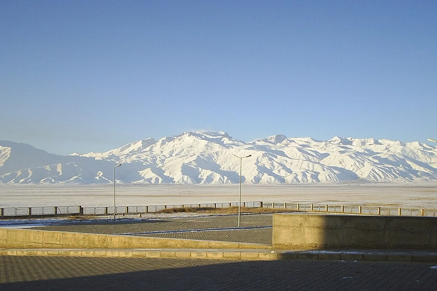
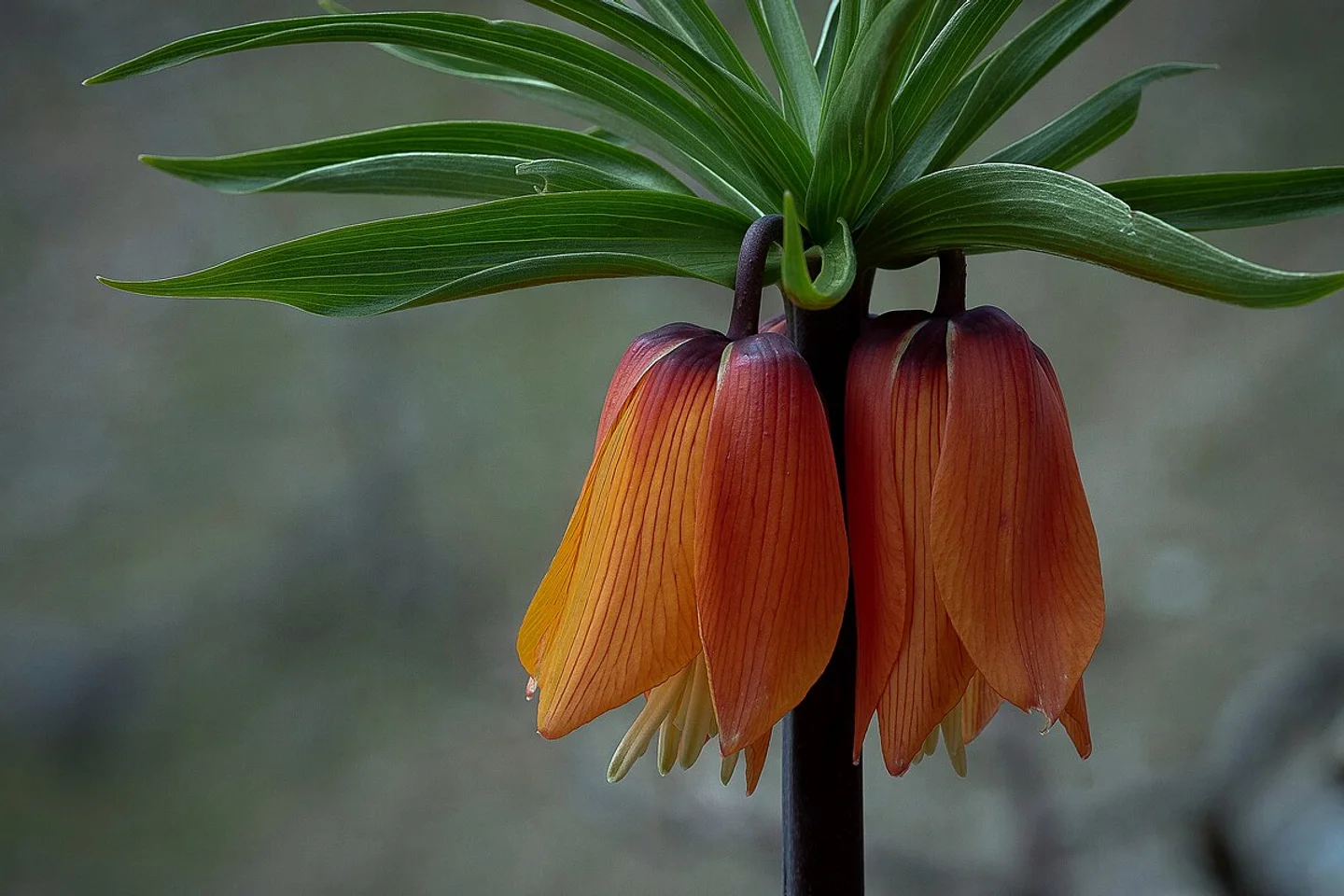
At the southeasternmost frontier of the Anatolian peninsula, where saw-toothed limestone massifs pierce the azure skies, rise the Cilo and Sat Mountains—often hailed as the Turkish Alps and an untouched glacial sanctuary. At the base of the 4,135-meter Uludoruk (Reşko) peak lie 20,000-year-old permanent glaciers, turquoise cirque lakes at 3,400 meters elevation, and blooming groves of the rare endemic "Weeping Bride" inverted tulip (Fritillaria imperialis).
1. Deep History & Cultural / Spiritual Narrative
The rugged geography of Hakkâri and Yüksekova contains deep historical layers spanning Urartian fortress strongholds, Assyrian cliff carvings, historic Nestorian monasteries, and Ottoman frontier sanjaks. Serving as the northern bastion of the Zagros orogenic system, these formidable peaks provided refuge for semi-nomadic pastoralists, mountain caravans, and contemplative Sufi saints over millennia.
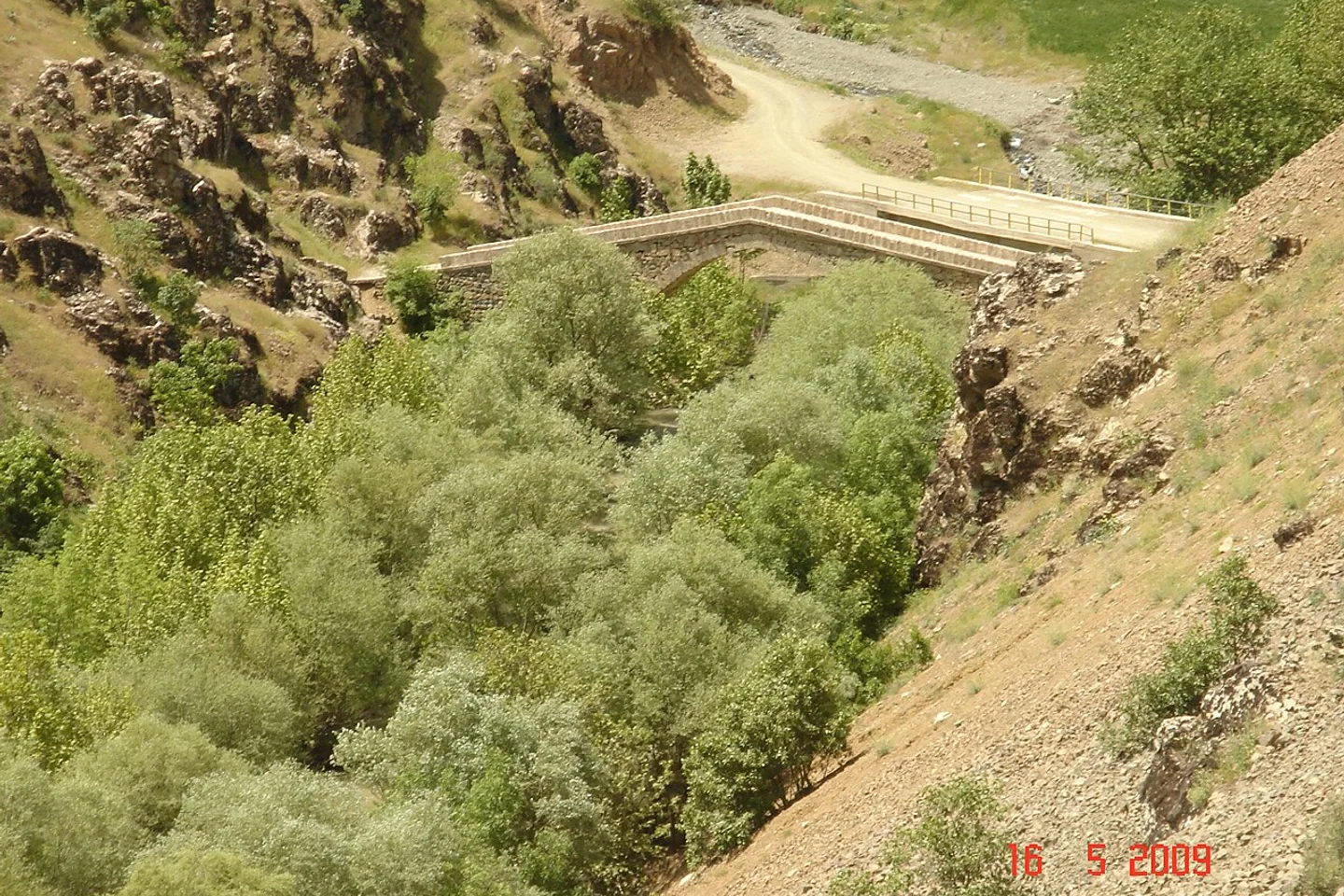
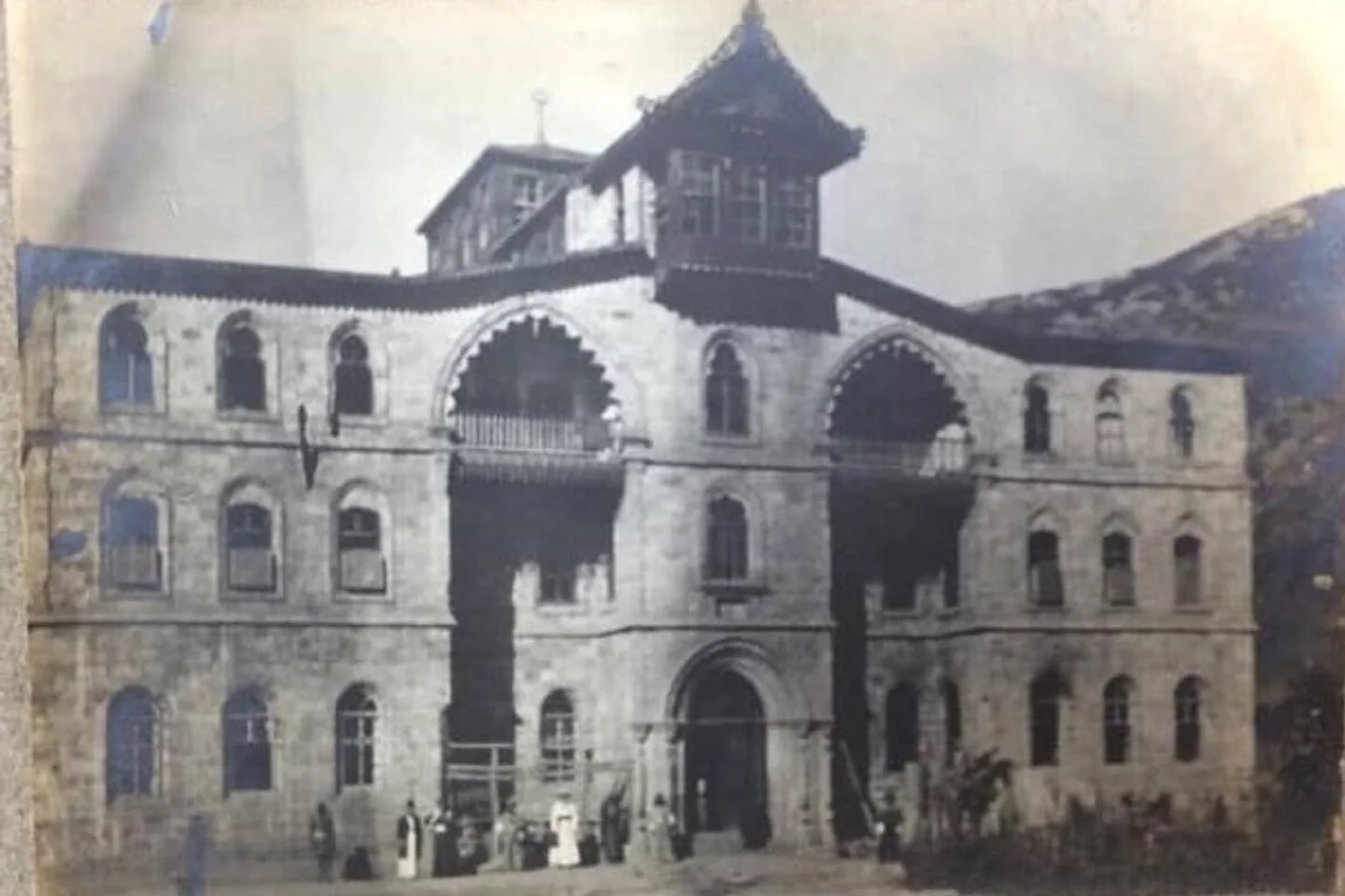
The spiritual heart of the region beats in the historic settlement of Nehri (modern Bağlar) near Şemdinli. Here, in the early 19th century, the revered Naqshbandi master Seyyid Taha-i Hakkâri established a major center of learning and spiritual guidance. Adjacent stands the monumental ashlar stone Kayme Palace and the historic Nehri Stone Bridge, arching 11 meters over the torrential Pesan River to connect steep cliff pathways.
Local folklore reveres the inverted tulip (Ters Lale), known poetically as the "Weeping Bride." Legend tells of a heartbroken young bride separated from her beloved whose tears seeped into the highland soil, giving rise to blossoms that tilt downward each morning to shed dewdrops upon the earth. Geologically, the Cilo glaciers represent surviving relicts from the Last Glacial Maximum (Würm glaciation), preserving climatic records of Anatolia spanning twenty millennia.
2. 2-Day Detailed Itinerary & Alpine Exploration
Day 1: Yüksekova Basin, İkiyaka Mountain Pass & Sat Glacial Tarns
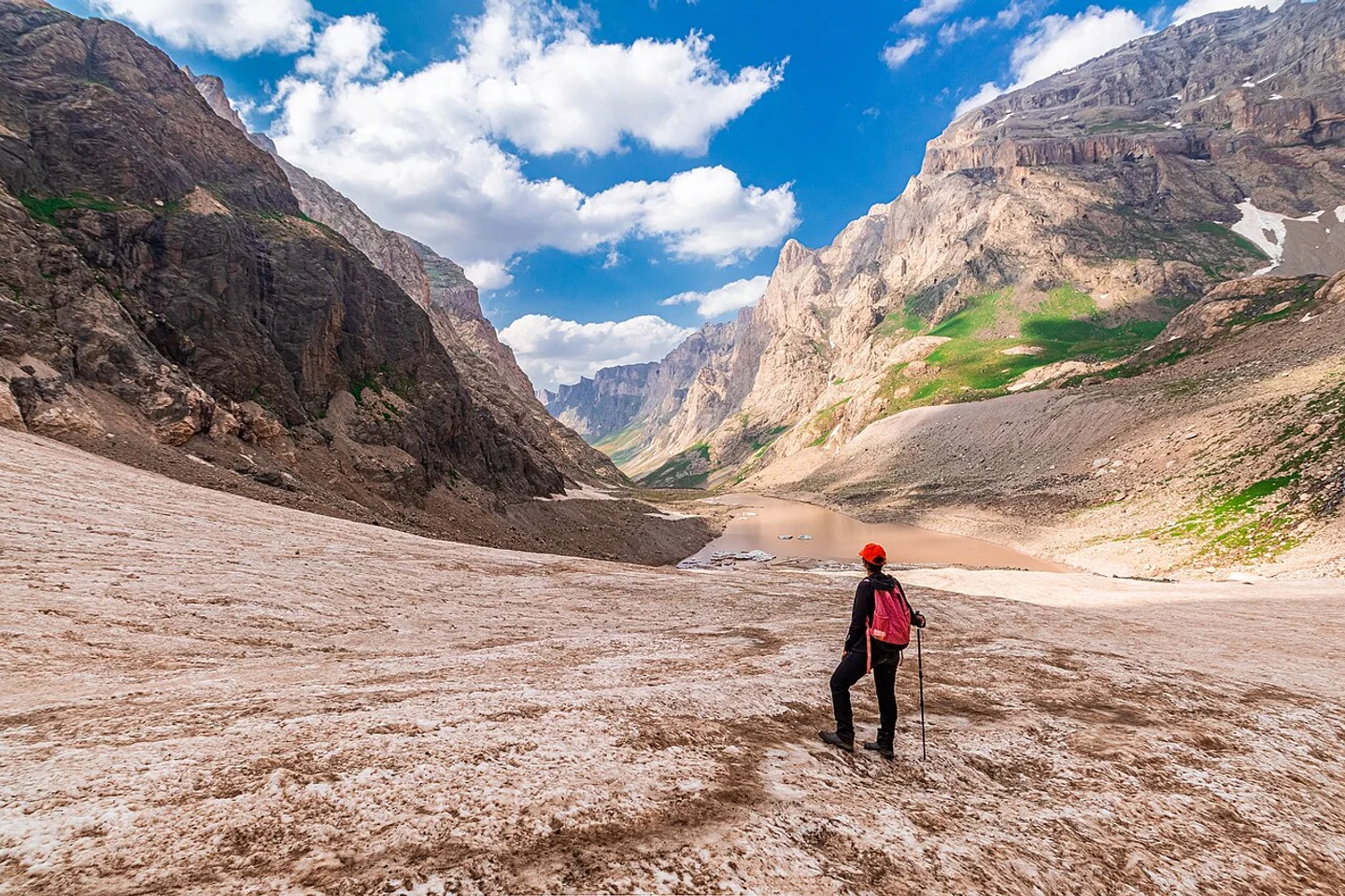
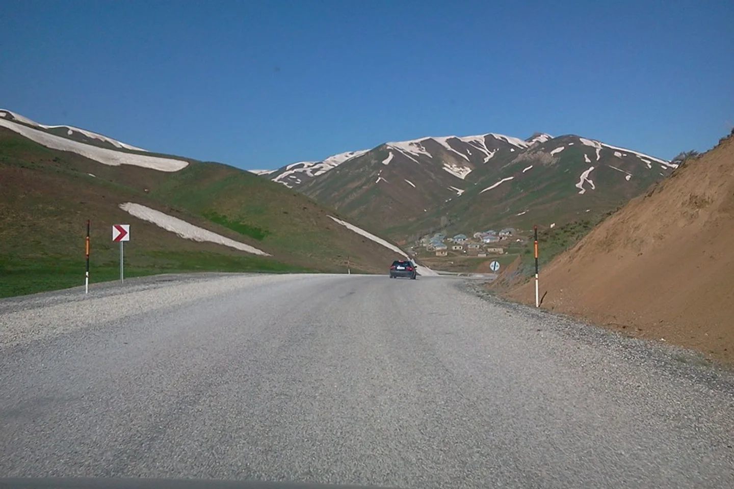
Depart at daybreak from the elevated plain of Yüksekova (1,950 m). Traveling in heavy-duty 4x4 vehicles, wind up the steep switchbacks of the İkiyaka range. Following a thrilling 2.5-hour ascent through high scree passes, you enter the majestic glacial amphitheater of the Sat Lakes at 3,400 meters altitude.
Hike around the cluster of more than twenty glacial tarns, where icebergs drift serenely across mineral-rich turquoise waters bordered by alpine meadows. In the afternoon, explore Cennet-Cehennem (Heaven and Hell) Valley, an astounding geological contrast where lush wildflower pastures abruptly meet frozen canyon floors housing active blue-ice tongues and caves hundreds of meters thick.
Day 2: Zap River Gorge, Historic Nehri Bridge & Berçelan Plateau
Follow the winding canyon road beside the roaring Zap River, one of Turkey's most turbulent alpine waterways. Admire suspension footbridges and canyon belvederes before turning toward Şemdinli and the historic village of Nehri. Tour the fine masonry of Kayme Palace and photograph the single-span pointed arch of the 19th-century Nehri Stone Bridge.
Conclude the afternoon at Berçelan Plateau at an altitude of 2,800 meters, walking along the shores of Seyithan Glacial Lake. Meet local nomadic families residing in goat-hair tents and experience genuine mountain hospitality featuring fresh sheep milk tea and aromatic mountain herbs.
3. Practical Transportation & Public Transit Guide
- Yüksekova Selahaddin Eyyubi Airport (YKO): Located 5 km from town with daily commercial flights from Istanbul and Ankara; airport taxis and shared shuttles reach the center in 10 minutes.
- Regional Connectivity: Accessible from Van Ferit Melen Airport via scenic mountain highway in 3 hours, and from Hakkâri city center through the Zap Gorge in 1 hour 15 minutes.
- Cilo Sat National Park Permits (2026): The Cilo Sat Glacial Lakes are a declared National Park. Travelers must register and obtain travel clearance online or through the Hakkâri Governorship and Provincial Gendarmerie Command prior to departure.
- Strict 4x4 Requirement: Standard passenger vehicles cannot negotiate the steep, unpaved high passes of the Sat Lakes; travel must be undertaken in high-clearance four-wheel-drive vehicles accompanied by certified local mountain guides.
4. Best Photography Spots & Framing Advice
- Sat Glacial Lakes Mirror Reflection: Between 08:00 and 10:30 AM before thermal winds develop, use a circular polarizing (CPL) filter to photograph the reflection of snow-capped Reşko Peak across the turquoise water surface.
- Cennet Cehennem Ice Cave Frame: Position yourself inside the mouth of the blue glacial cave, looking outward toward the lush green canyon illuminated by high dynamic range (HDR) exposure.
- Inverted Tulip Macro Shots: In late April and early May, photograph the nodding scarlet bells of Fritillaria imperialis at sunrise while dewdrops glisten on their petals at wide f/2.8 apertures.
- Nehri Stone Bridge Upward Angle: Stand at stream level below the bridge to capture the graceful pointed stone arch framed by surrounding jagged crags during the golden hour.
5. Regional Gastronomy: What & Where to Eat
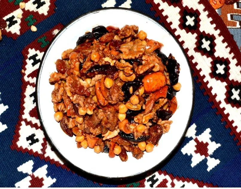
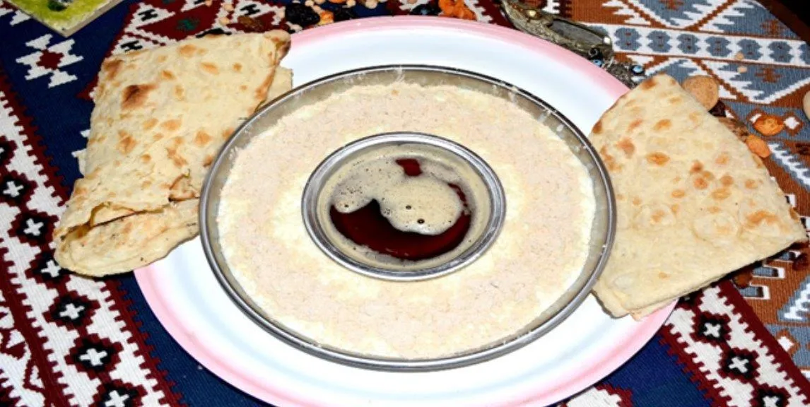
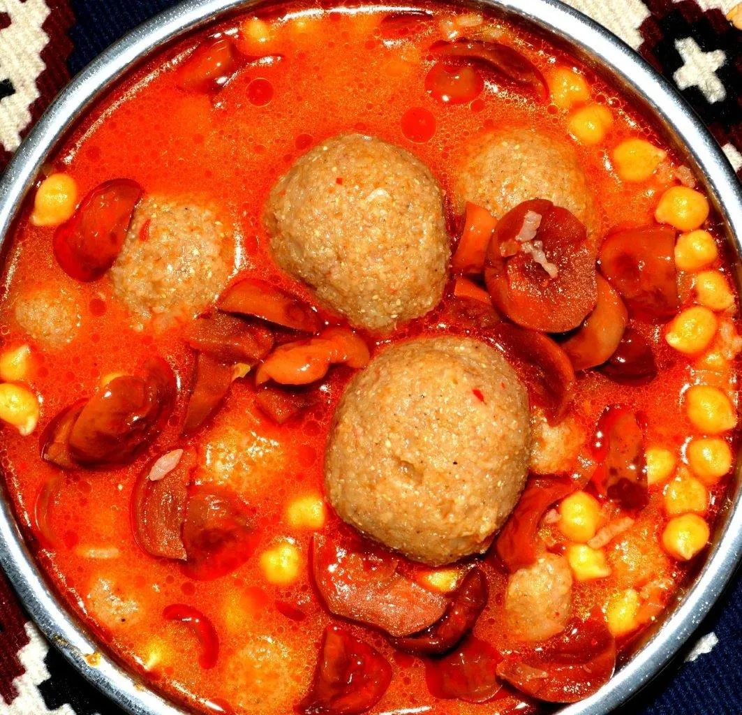
- Hakkâri Doğaba: A celebratory banquet dish of strained highland yogurt, hulled wheat, chickpeas, and tiny spiced meatballs drizzled with butter and wild mountain mint.
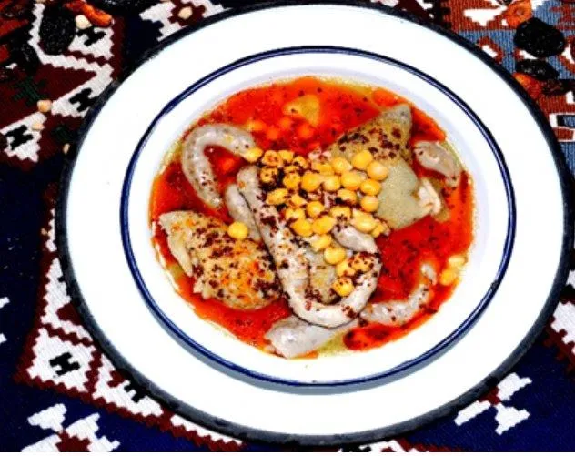
- Keledoş: A registered culinary heritage stew prepared with rehydrated rock curd (kurut), bone-in mountain mutton, chickpeas, and hand-harvested wild heliz mountain greens.
- Şemdinli Karakovan Honey: Pure unpasteurized comb honey gathered from pesticide-free alpine flora, eaten at breakfast alongside thick water buffalo clotted cream.
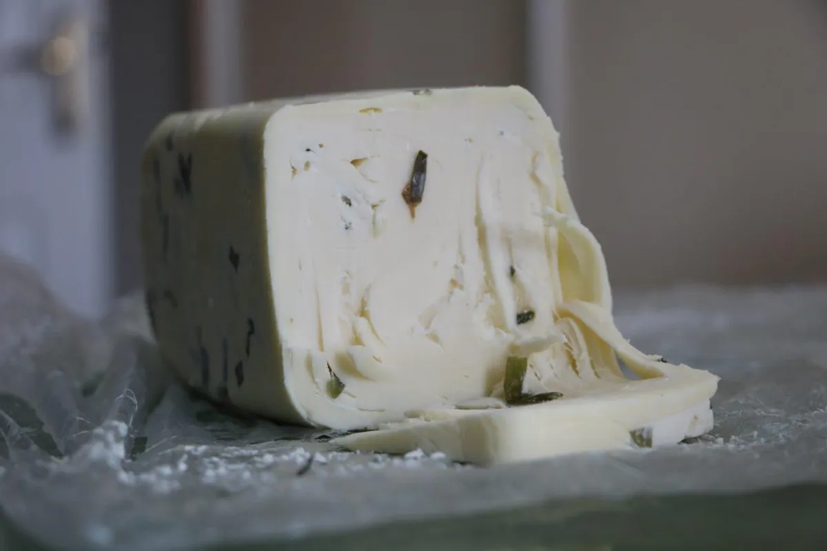
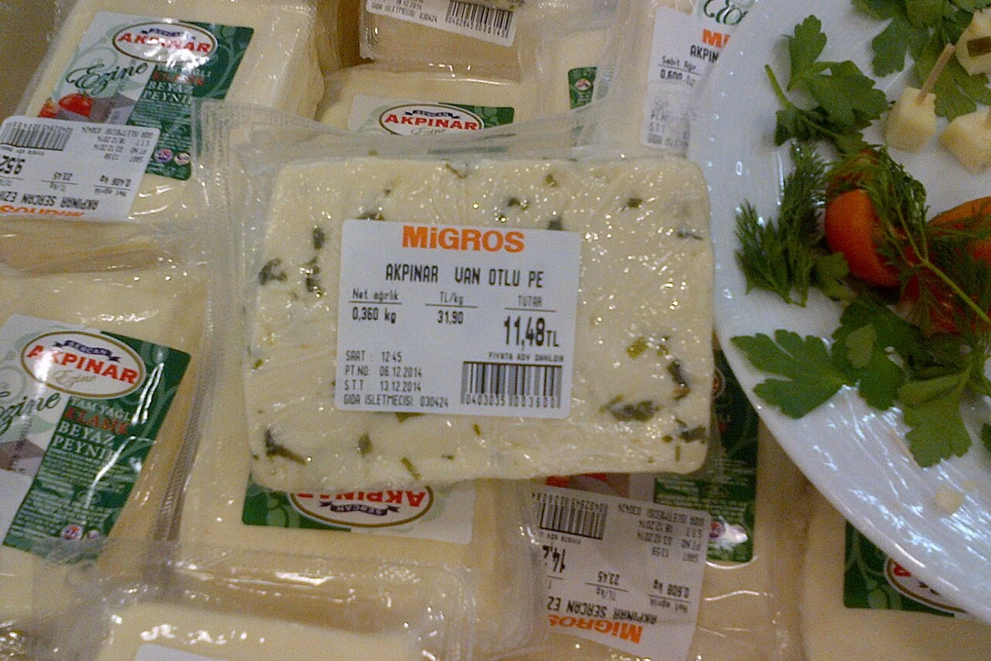
- Aged Otlu Peynir: Robust, semi-hard raw milk cheese seasoned with wild wild-garlic (sirmo) and mountain herbs, cured underground in earthenware jars.
- Gulol & Lenger Pilaf: Traditional wheat porridge enriched with honey molasses alongside festive platters of rice pilaf crowned with slow-braised mountain lamb.